🎉 Up to 70% Off Selected ItemsShop Sale
3D Trail - Rated 4
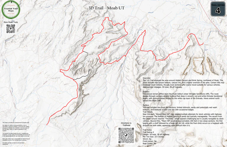
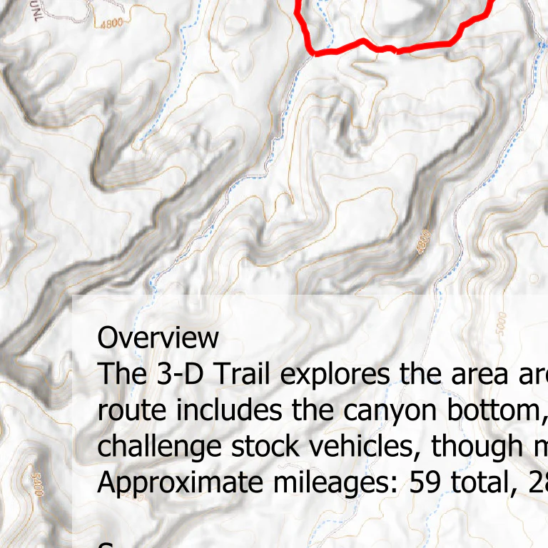
The 3-D Trail explores the area around Hidden Canyon and Brink Spring, northwest of Moab. The route includes the canyon bottom, canyon rim, and a higher overlook of the area. Certain hills may challenge stock vehicles, though most sections offer scenic travel suitable for various vehicles.
Scenery
The canyon terrain differs from the Moab Valley's sheer Wingate Sandstone cliffs. The route passes through canyons several hundred feet deep in smooth, red-and-white Entrada Sandstone layers, with slickrock areas formed by the white cap layer of the Entrada. Views extend north toward the Book Cliffs.
Surface
The trail includes two-track dirt sections, limited slickrock, sandy and potentially wet wash bottoms, and mixtures of rock and dirt with occasional ledges.
Trail Details
Near the start, "Airport View Hill" may require multiple attempts for stock vehicles with highway tire pressure. The bottom of Hidden Canyon is sandy but typically manageable. The ascent from the upper canyon reaches "The Wall," which appears challenging but is usually navigable by stock vehicles. Beyond this, "Mean Hill" ascends approximately 200 feet in two steep sections: the first begins with a shelf followed by a loose red dirt hill, while the final climb occurs on a hogback with drop-offs on both sides, appearing more difficult than it is.
Length: 59 total, 28 off highway
Min Tire Size: 33+ inches
Winch: No
Front Locker: No
Rear Locker: No
Product Information
Product Information
Shipping & Returns
Shipping & Returns
3D Trail - Rated 4
3D Trail - Rated 4
The 3-D Trail explores the area around Hidden Canyon and Brink Spring, northwest of Moab. The route includes the canyon bottom, canyon rim, and a higher overlook of the area. Certain hills may challenge stock vehicles, though most sections offer scenic travel suitable for various vehicles.
Scenery
The canyon terrain differs from the Moab Valley's sheer Wingate Sandstone cliffs. The route passes through canyons several hundred feet deep in smooth, red-and-white Entrada Sandstone layers, with slickrock areas formed by the white cap layer of the Entrada. Views extend north toward the Book Cliffs.
Surface
The trail includes two-track dirt sections, limited slickrock, sandy and potentially wet wash bottoms, and mixtures of rock and dirt with occasional ledges.
Trail Details
Near the start, "Airport View Hill" may require multiple attempts for stock vehicles with highway tire pressure. The bottom of Hidden Canyon is sandy but typically manageable. The ascent from the upper canyon reaches "The Wall," which appears challenging but is usually navigable by stock vehicles. Beyond this, "Mean Hill" ascends approximately 200 feet in two steep sections: the first begins with a shelf followed by a loose red dirt hill, while the final climb occurs on a hogback with drop-offs on both sides, appearing more difficult than it is.
Length: 59 total, 28 off highway
Min Tire Size: 33+ inches
Winch: No
Front Locker: No
Rear Locker: No
$0.70
Original: $1.99
-65%3D Trail - Rated 4—
$1.99
$0.70Product Information
Product Information
Shipping & Returns
Shipping & Returns
Description
The 3-D Trail explores the area around Hidden Canyon and Brink Spring, northwest of Moab. The route includes the canyon bottom, canyon rim, and a higher overlook of the area. Certain hills may challenge stock vehicles, though most sections offer scenic travel suitable for various vehicles.
Scenery
The canyon terrain differs from the Moab Valley's sheer Wingate Sandstone cliffs. The route passes through canyons several hundred feet deep in smooth, red-and-white Entrada Sandstone layers, with slickrock areas formed by the white cap layer of the Entrada. Views extend north toward the Book Cliffs.
Surface
The trail includes two-track dirt sections, limited slickrock, sandy and potentially wet wash bottoms, and mixtures of rock and dirt with occasional ledges.
Trail Details
Near the start, "Airport View Hill" may require multiple attempts for stock vehicles with highway tire pressure. The bottom of Hidden Canyon is sandy but typically manageable. The ascent from the upper canyon reaches "The Wall," which appears challenging but is usually navigable by stock vehicles. Beyond this, "Mean Hill" ascends approximately 200 feet in two steep sections: the first begins with a shelf followed by a loose red dirt hill, while the final climb occurs on a hogback with drop-offs on both sides, appearing more difficult than it is.
Length: 59 total, 28 off highway
Min Tire Size: 33+ inches
Winch: No
Front Locker: No
Rear Locker: No