🎉 Up to 70% Off Selected ItemsShop Sale
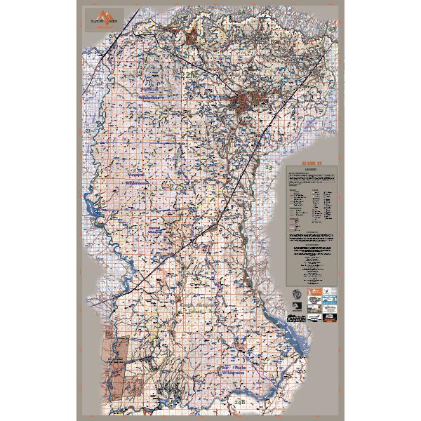
Arizona GMU 22 - FlatlineMaps 25
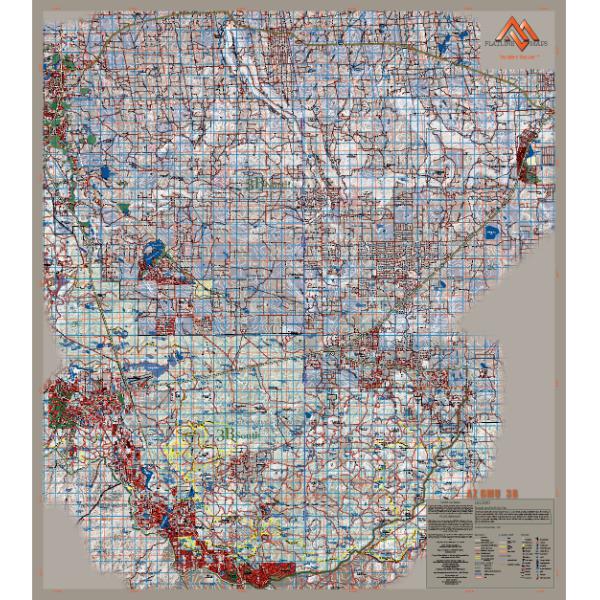
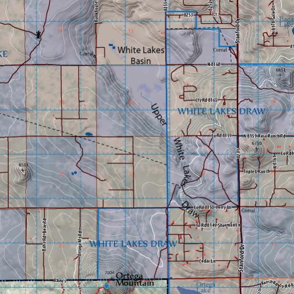
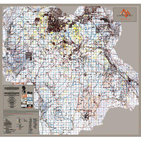
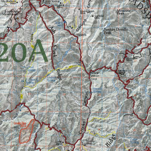
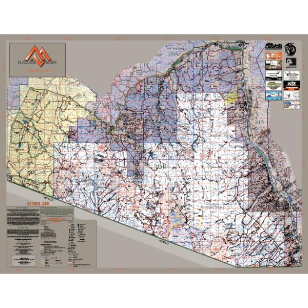
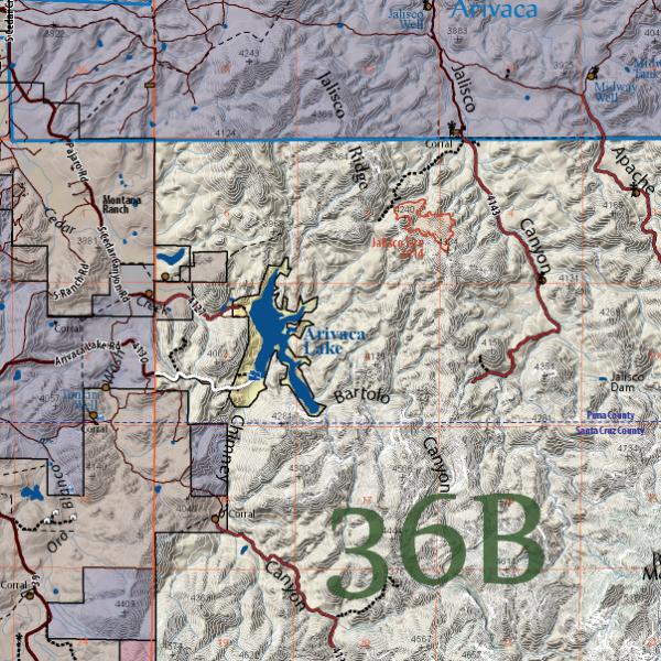
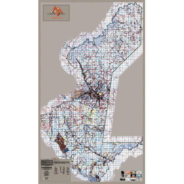
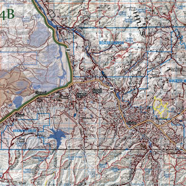
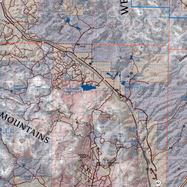
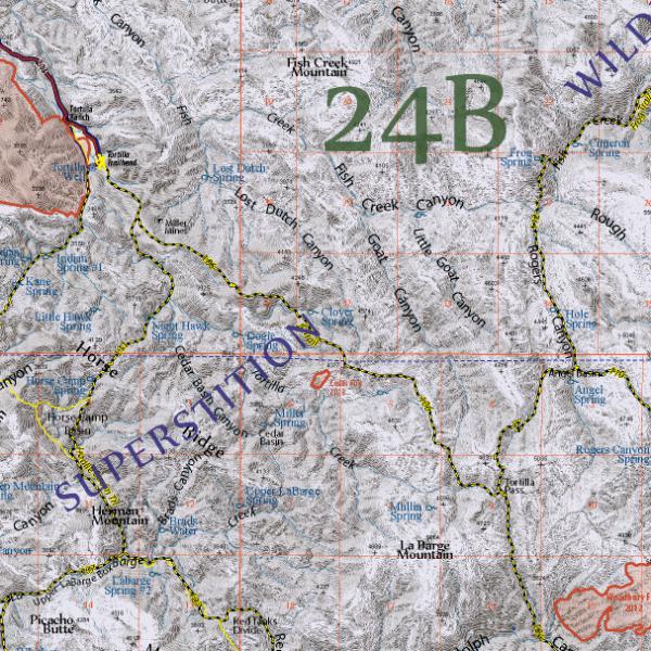
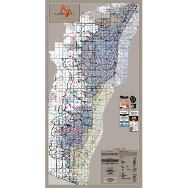
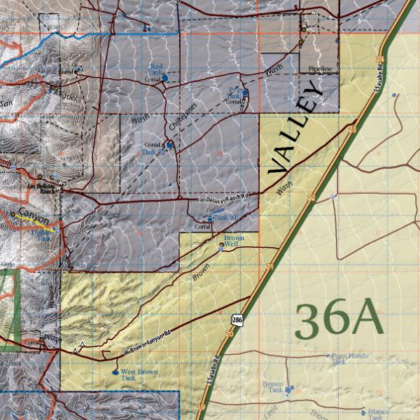
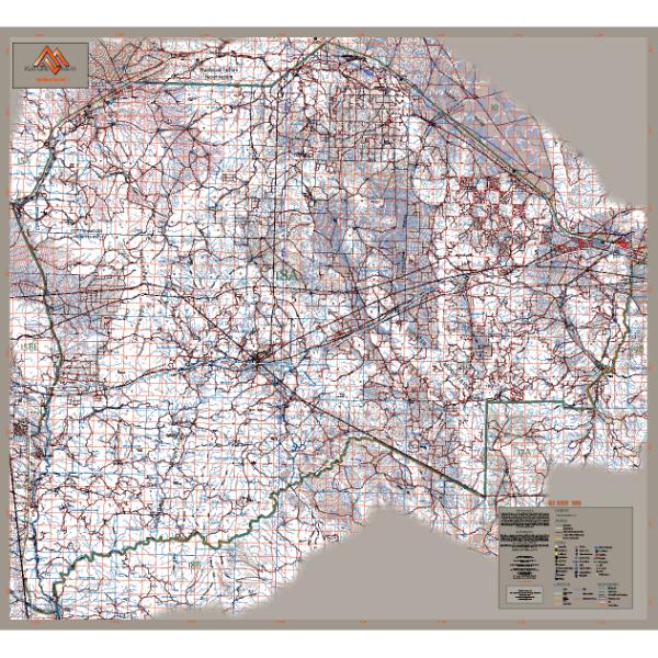
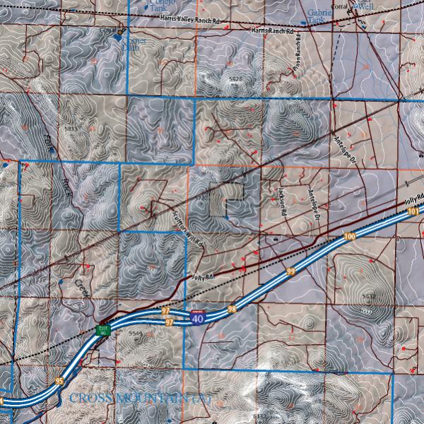
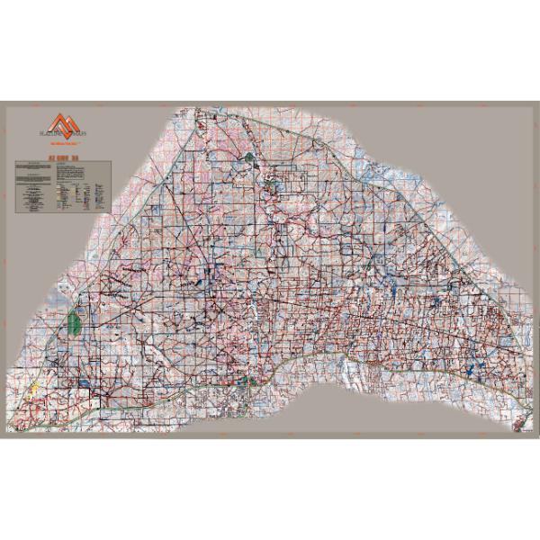
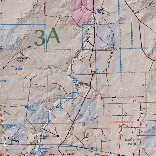
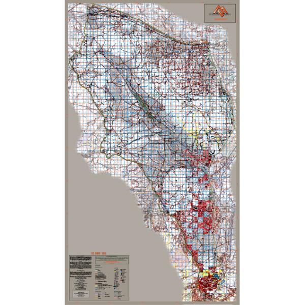
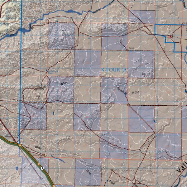
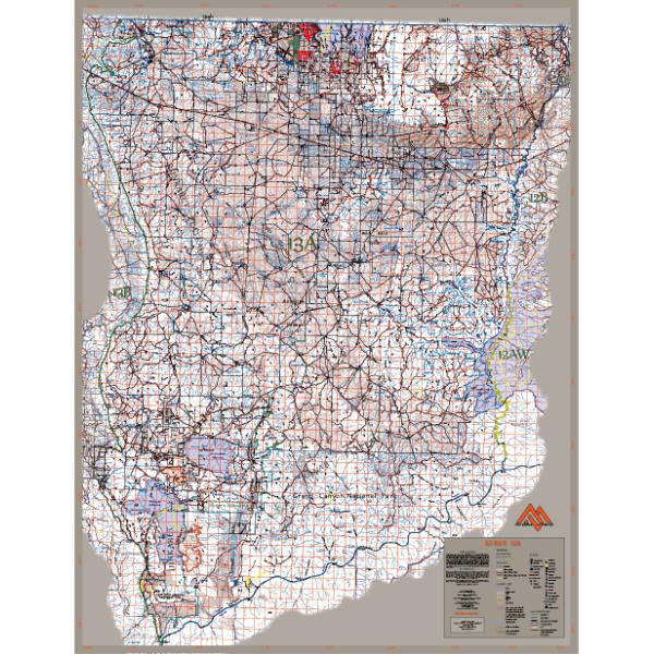
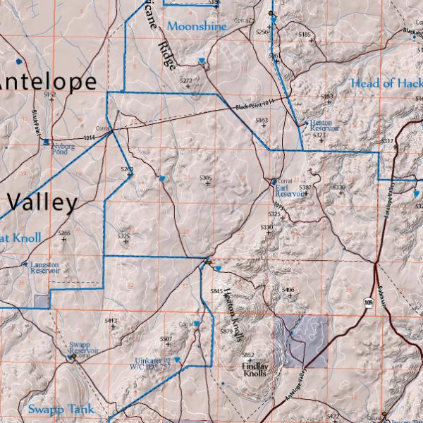
FlatlineMaps are customized unit maps specifically designed for hunting and outdoor recreation. Our focus is on creating the most accurate map possible, resulting in hundreds of hours of construction. We use information from many different data sources including gathering our own information in the field to produce our maps. Our map includes:
- DEM (Digital Elevation Model) base map from USGS with overlaying land cover, contours and waterways
- Land Ownership - private, state, public, Indian, BLM, military, national, local and state parks and wilderness areas
- Water Data - lakes, rivers, springs and tanks
- Water catchments from AZ Game and Fish Department and other sources
- Roads and trails including Travel Management Roads
- Unit Borders
- Geographic Names
This will be the only map you need for all your adventures.
Product Information
Product Information
Shipping & Returns
Shipping & Returns
Arizona GMU 22 - FlatlineMaps 25
Arizona GMU 22 - FlatlineMaps 25
FlatlineMaps are customized unit maps specifically designed for hunting and outdoor recreation. Our focus is on creating the most accurate map possible, resulting in hundreds of hours of construction. We use information from many different data sources including gathering our own information in the field to produce our maps. Our map includes:
- DEM (Digital Elevation Model) base map from USGS with overlaying land cover, contours and waterways
- Land Ownership - private, state, public, Indian, BLM, military, national, local and state parks and wilderness areas
- Water Data - lakes, rivers, springs and tanks
- Water catchments from AZ Game and Fish Department and other sources
- Roads and trails including Travel Management Roads
- Unit Borders
- Geographic Names
This will be the only map you need for all your adventures.
$24.99
Arizona GMU 22 - FlatlineMaps 25—
$24.99
Product Information
Product Information
Shipping & Returns
Shipping & Returns
Description
FlatlineMaps are customized unit maps specifically designed for hunting and outdoor recreation. Our focus is on creating the most accurate map possible, resulting in hundreds of hours of construction. We use information from many different data sources including gathering our own information in the field to produce our maps. Our map includes:
- DEM (Digital Elevation Model) base map from USGS with overlaying land cover, contours and waterways
- Land Ownership - private, state, public, Indian, BLM, military, national, local and state parks and wilderness areas
- Water Data - lakes, rivers, springs and tanks
- Water catchments from AZ Game and Fish Department and other sources
- Roads and trails including Travel Management Roads
- Unit Borders
- Geographic Names
This will be the only map you need for all your adventures.