🎉 Up to 70% Off Selected ItemsShop Sale
AEM Lake Winnipeg: The Old Delta - Scours of '23
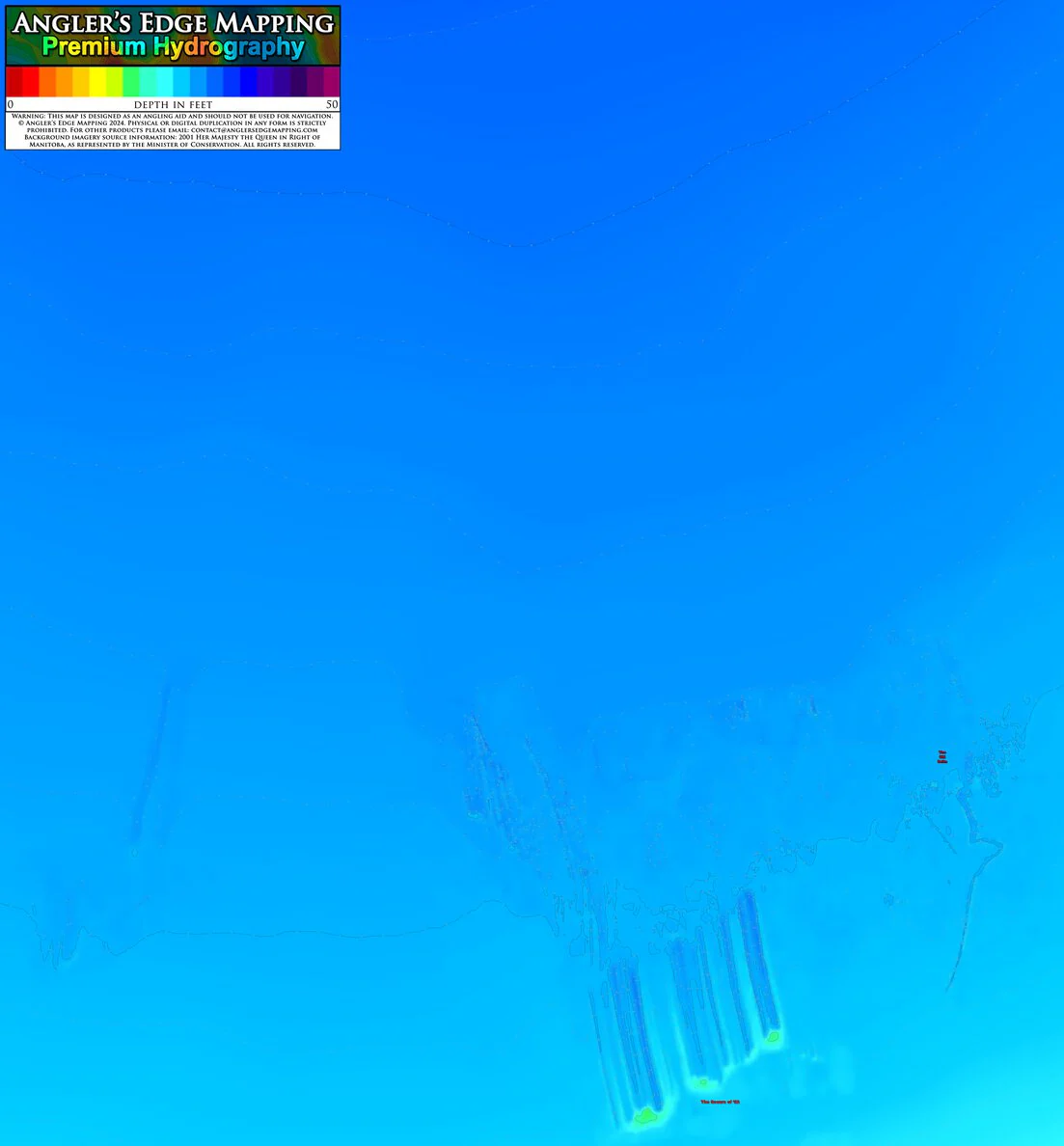
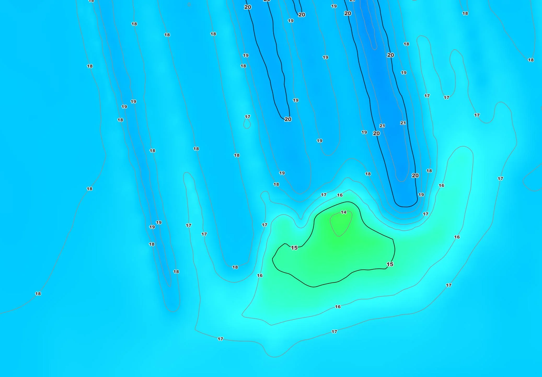
High-resolution contour map of the Old Delta / Scours of '23 section of the southernmost portion of Lake Winnipeg’s South Basin, Manitoba. AEM crews travelled over 4,431.9 km while surveying the southernmost portion of the South Basin.
****This sectional map is also available as part of a bundle. If you want all of AEM's coverage of the southernmost portion of Lake Winnipeg’s South Basin on your mobile device, your best value is purchasing the bundle****
© Angler’s Edge Mapping Inc. 2024. Physical or digital duplication in any form is strictly prohibited. For other products please visit www.AnglersEdgeMapping.com. Background imagery source information: 2001 Her Majesty the Queen in Right of Manitoba, as represented by the Minister of Conservation. All rights reserved.
Warning: This map is designed as an angling aid and should not be used for navigation.
Product Information
Product Information
Shipping & Returns
Shipping & Returns

AEM Lake Winnipeg: The Old Delta - Scours of '23
AEM Lake Winnipeg: The Old Delta - Scours of '23
High-resolution contour map of the Old Delta / Scours of '23 section of the southernmost portion of Lake Winnipeg’s South Basin, Manitoba. AEM crews travelled over 4,431.9 km while surveying the southernmost portion of the South Basin.
****This sectional map is also available as part of a bundle. If you want all of AEM's coverage of the southernmost portion of Lake Winnipeg’s South Basin on your mobile device, your best value is purchasing the bundle****
© Angler’s Edge Mapping Inc. 2024. Physical or digital duplication in any form is strictly prohibited. For other products please visit www.AnglersEdgeMapping.com. Background imagery source information: 2001 Her Majesty the Queen in Right of Manitoba, as represented by the Minister of Conservation. All rights reserved.
Warning: This map is designed as an angling aid and should not be used for navigation.
$9.99
AEM Lake Winnipeg: The Old Delta - Scours of '23—
$9.99
Product Information
Product Information
Shipping & Returns
Shipping & Returns
Description
High-resolution contour map of the Old Delta / Scours of '23 section of the southernmost portion of Lake Winnipeg’s South Basin, Manitoba. AEM crews travelled over 4,431.9 km while surveying the southernmost portion of the South Basin.
****This sectional map is also available as part of a bundle. If you want all of AEM's coverage of the southernmost portion of Lake Winnipeg’s South Basin on your mobile device, your best value is purchasing the bundle****
© Angler’s Edge Mapping Inc. 2024. Physical or digital duplication in any form is strictly prohibited. For other products please visit www.AnglersEdgeMapping.com. Background imagery source information: 2001 Her Majesty the Queen in Right of Manitoba, as represented by the Minister of Conservation. All rights reserved.
Warning: This map is designed as an angling aid and should not be used for navigation.