🎉 Up to 70% Off Selected ItemsShop Sale
GLCT Paul Trail
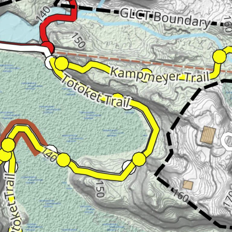
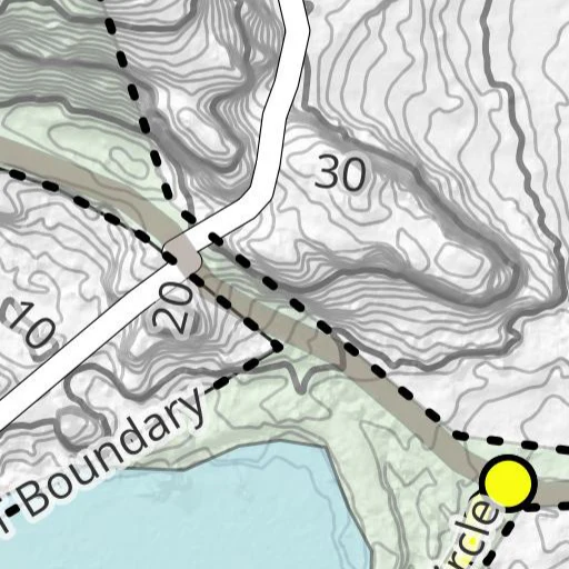
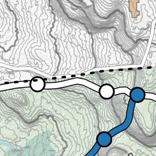
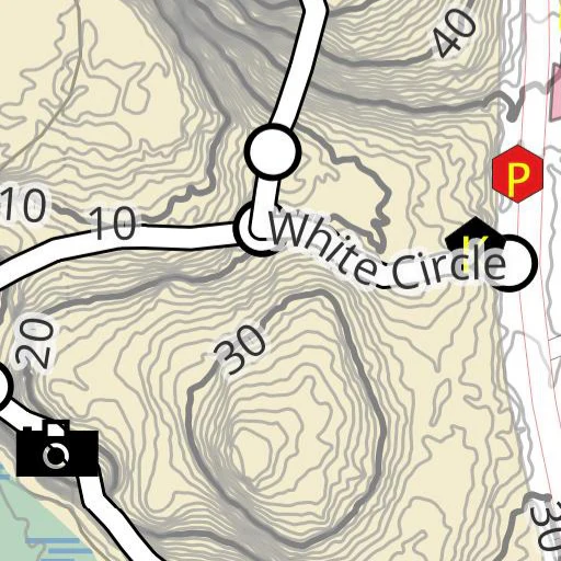
GLCT's PaulTrail Map showing the trails, State and Town property boundaries and surrounding streets on CRCOG Block 1.08 and 2.01 Contours (2016). Property access and parking shown on the map, Guilford, CT. Do not use the Community Nursery School Parking Area. Motorized vehicles of any type are not allowed. The trail managed by the Guilford Land Conservation Trust with public access allowed from dawn to dusk for passive recreational purposes. For comprehensive listing of Land Use Policies see: <https://guilfordlandtrust.org/about/land-use/>
Product Information
Product Information
Shipping & Returns
Shipping & Returns


GLCT Paul Trail
GLCT Paul Trail
GLCT's PaulTrail Map showing the trails, State and Town property boundaries and surrounding streets on CRCOG Block 1.08 and 2.01 Contours (2016). Property access and parking shown on the map, Guilford, CT. Do not use the Community Nursery School Parking Area. Motorized vehicles of any type are not allowed. The trail managed by the Guilford Land Conservation Trust with public access allowed from dawn to dusk for passive recreational purposes. For comprehensive listing of Land Use Policies see: <https://guilfordlandtrust.org/about/land-use/>
$0.70
Original: $1.99
-65%GLCT Paul Trail—
$1.99
$0.70Product Information
Product Information
Shipping & Returns
Shipping & Returns
Description
GLCT's PaulTrail Map showing the trails, State and Town property boundaries and surrounding streets on CRCOG Block 1.08 and 2.01 Contours (2016). Property access and parking shown on the map, Guilford, CT. Do not use the Community Nursery School Parking Area. Motorized vehicles of any type are not allowed. The trail managed by the Guilford Land Conservation Trust with public access allowed from dawn to dusk for passive recreational purposes. For comprehensive listing of Land Use Policies see: <https://guilfordlandtrust.org/about/land-use/>