🎉 Up to 70% Off Selected ItemsShop Sale
Indiana Atlas & Gazetteer
"DeLorme Atlas & Gazetteers Are the Outdoor Enthusiasts' Choice
Amazingly detailed and beautifully crafted, large-format maps for all 50 states
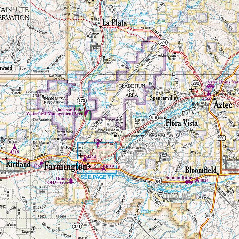
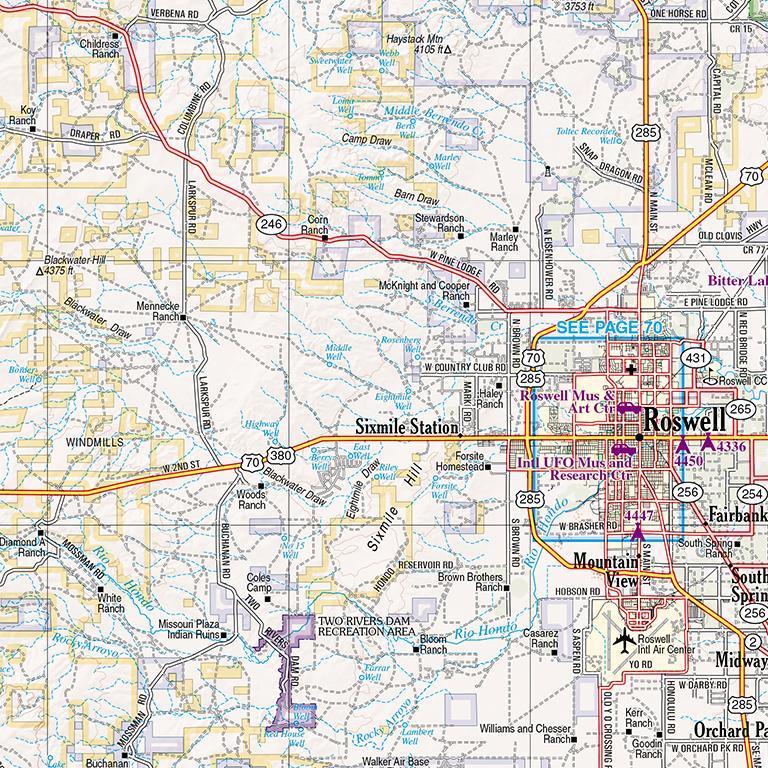
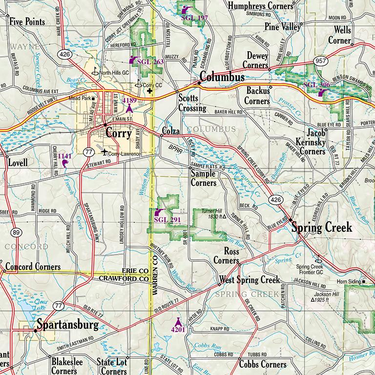
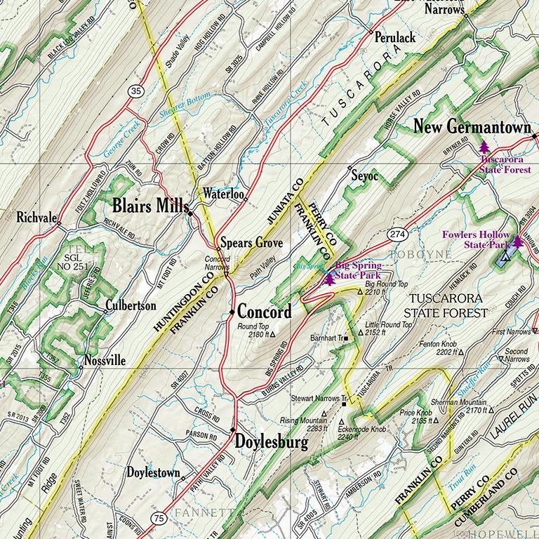
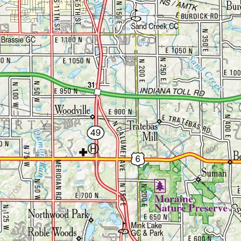
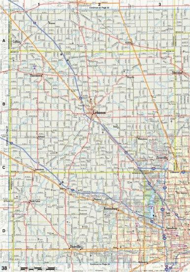
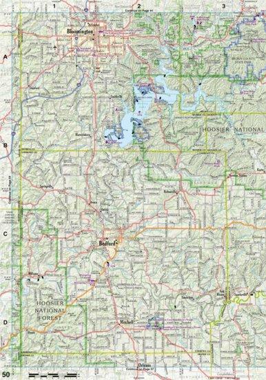
Topographic maps with elevation contours, major highways and roads, dirt roads, trails and land use data
Gazetteer section contains information essential for any outdoor enthusiast, such as points of interest, landmarks, state and national parks, campgrounds, boat launches, golf courses, historic sites, hunting zones, canoe trips, scenic drive recommendations and more (Note: available information varies by state)
Perfect for sightseeing, exploring back roads, outdoor recreation and trip planning
Important Notices
Garmin has made reasonable efforts to provide you with accurate maps and related information, but we cannot exclude the possibility of errors or omissions in sources or of changes in actual conditions. GARMIN MAKES NO WARRANTIES OF ANY KIND, EITHER EXPRESS OR IMPLIED, INCLUDING THE WARRANTIES OF MERCHANTABILITY AND FITNESS FOR A PARTICULAR PURPOSE. GARMIN SHALL NOT BE LIABLE TO ANY PERSON UNDER ANY LEGAL OR EQUITABLE THEORY FOR DAMAGES ARISING OUT OF THE USE OF THIS PUBLICATION, INCLUDING, WITHOUT LIMITATION, FOR DIRECT, CONSEQUENTIAL OR INCIDENTAL DAMAGES. Nothing in this publication implies the right to use private property. There may be private inholdings within the boundaries of public reservations. You should respect all landowner restrictions.
Some listings may be seasonal or may have admission fees. Please be sure to confirm this information when making plans.
Safety Information
To avoid accidents, always pay attention to actual road, traffic and weather conditions and do not attempt to read these maps while you are operating a vehicle. Please consult local authorities for the most current information on road and other travel-related conditions.
Do not use this publication for marine or aeronautical navigation, as it does not depict navigation aids, depths, obstacles, landing approaches and other information necessary to performing these functions safely.
Indiana: SEVENTH EDITION. Copyright © 2026 Garmin Ltd. or its Affiliates. All rights reserved.
Product Information
Product Information
Shipping & Returns
Shipping & Returns
Indiana Atlas & Gazetteer
Indiana Atlas & Gazetteer
"DeLorme Atlas & Gazetteers Are the Outdoor Enthusiasts' Choice
Amazingly detailed and beautifully crafted, large-format maps for all 50 states
Topographic maps with elevation contours, major highways and roads, dirt roads, trails and land use data
Gazetteer section contains information essential for any outdoor enthusiast, such as points of interest, landmarks, state and national parks, campgrounds, boat launches, golf courses, historic sites, hunting zones, canoe trips, scenic drive recommendations and more (Note: available information varies by state)
Perfect for sightseeing, exploring back roads, outdoor recreation and trip planning
Important Notices
Garmin has made reasonable efforts to provide you with accurate maps and related information, but we cannot exclude the possibility of errors or omissions in sources or of changes in actual conditions. GARMIN MAKES NO WARRANTIES OF ANY KIND, EITHER EXPRESS OR IMPLIED, INCLUDING THE WARRANTIES OF MERCHANTABILITY AND FITNESS FOR A PARTICULAR PURPOSE. GARMIN SHALL NOT BE LIABLE TO ANY PERSON UNDER ANY LEGAL OR EQUITABLE THEORY FOR DAMAGES ARISING OUT OF THE USE OF THIS PUBLICATION, INCLUDING, WITHOUT LIMITATION, FOR DIRECT, CONSEQUENTIAL OR INCIDENTAL DAMAGES. Nothing in this publication implies the right to use private property. There may be private inholdings within the boundaries of public reservations. You should respect all landowner restrictions.
Some listings may be seasonal or may have admission fees. Please be sure to confirm this information when making plans.
Safety Information
To avoid accidents, always pay attention to actual road, traffic and weather conditions and do not attempt to read these maps while you are operating a vehicle. Please consult local authorities for the most current information on road and other travel-related conditions.
Do not use this publication for marine or aeronautical navigation, as it does not depict navigation aids, depths, obstacles, landing approaches and other information necessary to performing these functions safely.
Indiana: SEVENTH EDITION. Copyright © 2026 Garmin Ltd. or its Affiliates. All rights reserved.
$8.75
Original: $24.99
-65%Indiana Atlas & Gazetteer—
$24.99
$8.75Product Information
Product Information
Shipping & Returns
Shipping & Returns
Description
"DeLorme Atlas & Gazetteers Are the Outdoor Enthusiasts' Choice
Amazingly detailed and beautifully crafted, large-format maps for all 50 states
Topographic maps with elevation contours, major highways and roads, dirt roads, trails and land use data
Gazetteer section contains information essential for any outdoor enthusiast, such as points of interest, landmarks, state and national parks, campgrounds, boat launches, golf courses, historic sites, hunting zones, canoe trips, scenic drive recommendations and more (Note: available information varies by state)
Perfect for sightseeing, exploring back roads, outdoor recreation and trip planning
Important Notices
Garmin has made reasonable efforts to provide you with accurate maps and related information, but we cannot exclude the possibility of errors or omissions in sources or of changes in actual conditions. GARMIN MAKES NO WARRANTIES OF ANY KIND, EITHER EXPRESS OR IMPLIED, INCLUDING THE WARRANTIES OF MERCHANTABILITY AND FITNESS FOR A PARTICULAR PURPOSE. GARMIN SHALL NOT BE LIABLE TO ANY PERSON UNDER ANY LEGAL OR EQUITABLE THEORY FOR DAMAGES ARISING OUT OF THE USE OF THIS PUBLICATION, INCLUDING, WITHOUT LIMITATION, FOR DIRECT, CONSEQUENTIAL OR INCIDENTAL DAMAGES. Nothing in this publication implies the right to use private property. There may be private inholdings within the boundaries of public reservations. You should respect all landowner restrictions.
Some listings may be seasonal or may have admission fees. Please be sure to confirm this information when making plans.
Safety Information
To avoid accidents, always pay attention to actual road, traffic and weather conditions and do not attempt to read these maps while you are operating a vehicle. Please consult local authorities for the most current information on road and other travel-related conditions.
Do not use this publication for marine or aeronautical navigation, as it does not depict navigation aids, depths, obstacles, landing approaches and other information necessary to performing these functions safely.
Indiana: SEVENTH EDITION. Copyright © 2026 Garmin Ltd. or its Affiliates. All rights reserved.