🎉 Up to 70% Off Selected ItemsShop Sale
Kane Creek Canyon - Moab UT
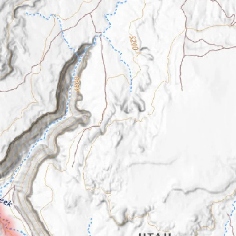
The trail features multiple creek crossings through a canyon.
The route crosses Kane Creek repeatedly throughout its length. Erosion impacts the trail, with repairs maintaining its openness. The canyon begins wide, then narrows, and the road descends into the creek. Navigation within the creek can be challenging due to ongoing changes. Heavy rains significantly alter the trail. Local 4×4 clubs, such as Moab Friends for Wheelin’, occasionally mark the route with colored plastic ribbons. No open driving areas are available on this trail. Recent instances of trail abuse have appeared; efforts focus on keeping vehicles on the designated path. Check trees for ribbons and follow the marked route.
Rating Difficult
The trail is very difficult. The first obstacle, “The Pinch,” includes a canyon wall on the left and a large boulder on the right, requiring traversal over the boulder and a sharp right turn. Even at low creek levels, water depths can reach 4 feet in places. Vehicle scratches from tight brush are probable. Mud may cause vehicles to become stuck; group travel with winch-equipped vehicles is recommended. Hamburger Hill features a long, steep ledge road with large boulders and one tall ledge.
Length 13.5mi
Time 4hrs
High Point 5,148ft
Best Time To Go
March-Nov Hot in summer
Product Information
Product Information
Shipping & Returns
Shipping & Returns

Kane Creek Canyon - Moab UT
Kane Creek Canyon - Moab UT
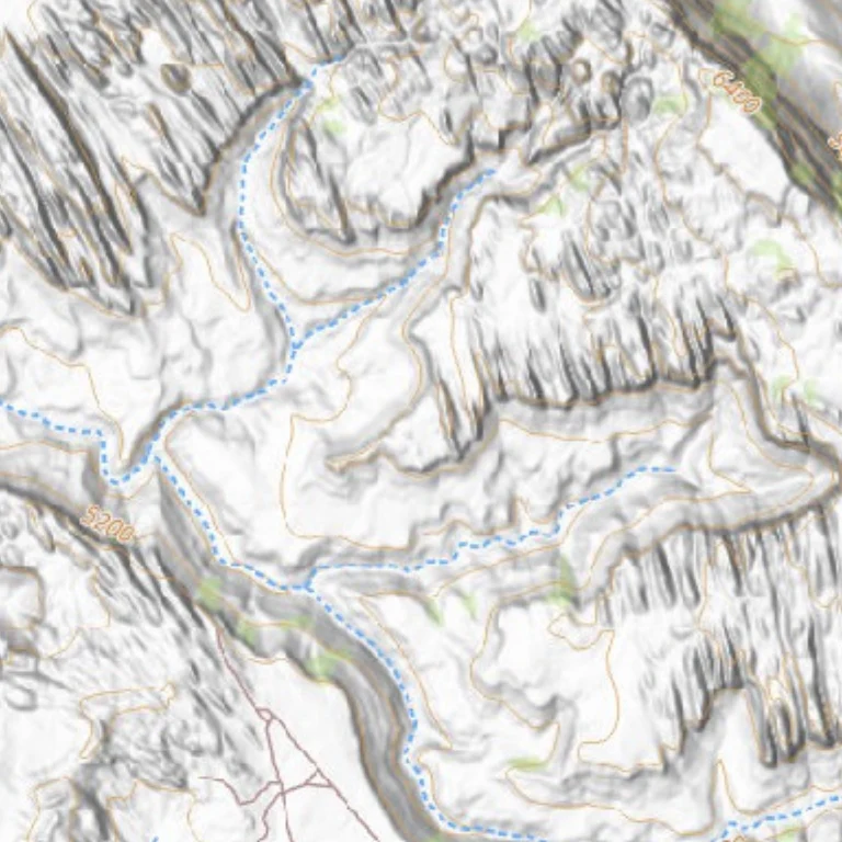
The trail features multiple creek crossings through a canyon.
The route crosses Kane Creek repeatedly throughout its length. Erosion impacts the trail, with repairs maintaining its openness. The canyon begins wide, then narrows, and the road descends into the creek. Navigation within the creek can be challenging due to ongoing changes. Heavy rains significantly alter the trail. Local 4×4 clubs, such as Moab Friends for Wheelin’, occasionally mark the route with colored plastic ribbons. No open driving areas are available on this trail. Recent instances of trail abuse have appeared; efforts focus on keeping vehicles on the designated path. Check trees for ribbons and follow the marked route.
Rating Difficult
The trail is very difficult. The first obstacle, “The Pinch,” includes a canyon wall on the left and a large boulder on the right, requiring traversal over the boulder and a sharp right turn. Even at low creek levels, water depths can reach 4 feet in places. Vehicle scratches from tight brush are probable. Mud may cause vehicles to become stuck; group travel with winch-equipped vehicles is recommended. Hamburger Hill features a long, steep ledge road with large boulders and one tall ledge.
Length 13.5mi
Time 4hrs
High Point 5,148ft
Best Time To Go
March-Nov Hot in summer
$0.70
Original: $1.99
-65%Kane Creek Canyon - Moab UT—
$1.99
$0.70Product Information
Product Information
Shipping & Returns
Shipping & Returns
Description
The trail features multiple creek crossings through a canyon.
The route crosses Kane Creek repeatedly throughout its length. Erosion impacts the trail, with repairs maintaining its openness. The canyon begins wide, then narrows, and the road descends into the creek. Navigation within the creek can be challenging due to ongoing changes. Heavy rains significantly alter the trail. Local 4×4 clubs, such as Moab Friends for Wheelin’, occasionally mark the route with colored plastic ribbons. No open driving areas are available on this trail. Recent instances of trail abuse have appeared; efforts focus on keeping vehicles on the designated path. Check trees for ribbons and follow the marked route.
Rating Difficult
The trail is very difficult. The first obstacle, “The Pinch,” includes a canyon wall on the left and a large boulder on the right, requiring traversal over the boulder and a sharp right turn. Even at low creek levels, water depths can reach 4 feet in places. Vehicle scratches from tight brush are probable. Mud may cause vehicles to become stuck; group travel with winch-equipped vehicles is recommended. Hamburger Hill features a long, steep ledge road with large boulders and one tall ledge.
Length 13.5mi
Time 4hrs
High Point 5,148ft
Best Time To Go
March-Nov Hot in summer