🎉 Up to 70% Off Selected ItemsShop Sale
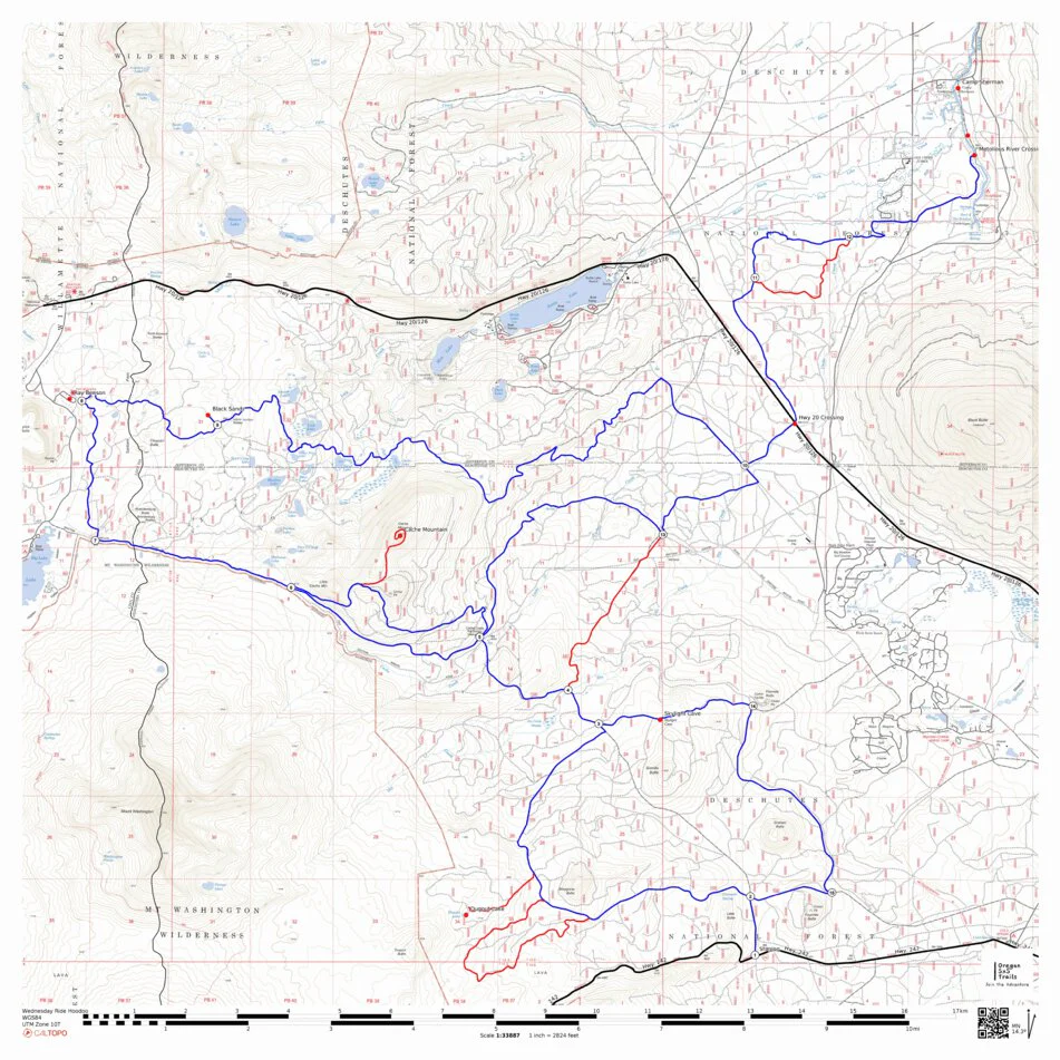
SxS Trails Chemult to Crescent Lake Loop 82 miles Plus Alt.
A locals favorite, Stage or Camp at Walt Haring Sno-Park in Chemult, Big Pine RV Park in Crescent or Crescent Lake Junction Sno-Park in Crescent Lake Junction. Ride scenic trails of the Deschutes and Winema Forests. Visit lakes, rivers and historic sites with epic vistas. Food and fuel are available at Crescent, Chemult and Crescent Lake Junction. Lodging is also available in each town. Add the SxS Trail Coalition map Chemult to Silver Lake and you have over 400 miles of SxS legal and mapped trails to ride.
Disclaimer; This map is presented for public use as-is, with no guarantee of accuracy or completeness. The geographic information contained on this map is not to be construed or used as a "true description”, conditions are ever changing do to weather, changes in and maintenance of roads and trails and government regulations. Always check with the local authorities before proceeding. Every effort has been made to ensure the map accuracy, but errors in mapping or errors in the source documents do occur. SxS Trail Coalition assumes no liability for either any errors, omissions, or inaccuracies in the information provided regardless of their cause, or for any decision made, action taken, or action not taken by the user in reliance upon any maps or information provided. These maps are for information purposes only and may not represent actual conditions.
Product Information
Product Information
Shipping & Returns
Shipping & Returns
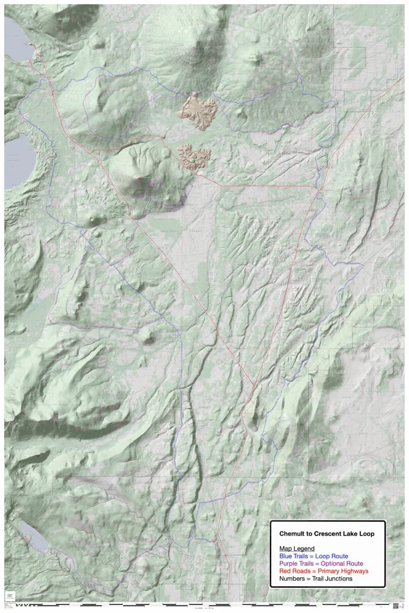


SxS Trails Chemult to Crescent Lake Loop 82 miles Plus Alt.
SxS Trails Chemult to Crescent Lake Loop 82 miles Plus Alt.
A locals favorite, Stage or Camp at Walt Haring Sno-Park in Chemult, Big Pine RV Park in Crescent or Crescent Lake Junction Sno-Park in Crescent Lake Junction. Ride scenic trails of the Deschutes and Winema Forests. Visit lakes, rivers and historic sites with epic vistas. Food and fuel are available at Crescent, Chemult and Crescent Lake Junction. Lodging is also available in each town. Add the SxS Trail Coalition map Chemult to Silver Lake and you have over 400 miles of SxS legal and mapped trails to ride.
Disclaimer; This map is presented for public use as-is, with no guarantee of accuracy or completeness. The geographic information contained on this map is not to be construed or used as a "true description”, conditions are ever changing do to weather, changes in and maintenance of roads and trails and government regulations. Always check with the local authorities before proceeding. Every effort has been made to ensure the map accuracy, but errors in mapping or errors in the source documents do occur. SxS Trail Coalition assumes no liability for either any errors, omissions, or inaccuracies in the information provided regardless of their cause, or for any decision made, action taken, or action not taken by the user in reliance upon any maps or information provided. These maps are for information purposes only and may not represent actual conditions.
$0.70
Original: $1.99
-65%SxS Trails Chemult to Crescent Lake Loop 82 miles Plus Alt.—
$1.99
$0.70Product Information
Product Information
Shipping & Returns
Shipping & Returns
Description
A locals favorite, Stage or Camp at Walt Haring Sno-Park in Chemult, Big Pine RV Park in Crescent or Crescent Lake Junction Sno-Park in Crescent Lake Junction. Ride scenic trails of the Deschutes and Winema Forests. Visit lakes, rivers and historic sites with epic vistas. Food and fuel are available at Crescent, Chemult and Crescent Lake Junction. Lodging is also available in each town. Add the SxS Trail Coalition map Chemult to Silver Lake and you have over 400 miles of SxS legal and mapped trails to ride.
Disclaimer; This map is presented for public use as-is, with no guarantee of accuracy or completeness. The geographic information contained on this map is not to be construed or used as a "true description”, conditions are ever changing do to weather, changes in and maintenance of roads and trails and government regulations. Always check with the local authorities before proceeding. Every effort has been made to ensure the map accuracy, but errors in mapping or errors in the source documents do occur. SxS Trail Coalition assumes no liability for either any errors, omissions, or inaccuracies in the information provided regardless of their cause, or for any decision made, action taken, or action not taken by the user in reliance upon any maps or information provided. These maps are for information purposes only and may not represent actual conditions.