🎉 Up to 70% Off Selected ItemsShop Sale
Cumbria Way
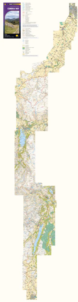
The Cumbria Way is 112km (70 miles) from Ulverston to Carlisle. It passes through Coniston, Dungeon Ghyll, Keswick and Caldbeck in the Lake District National Park. Mostly through valleys rather than over high tops.
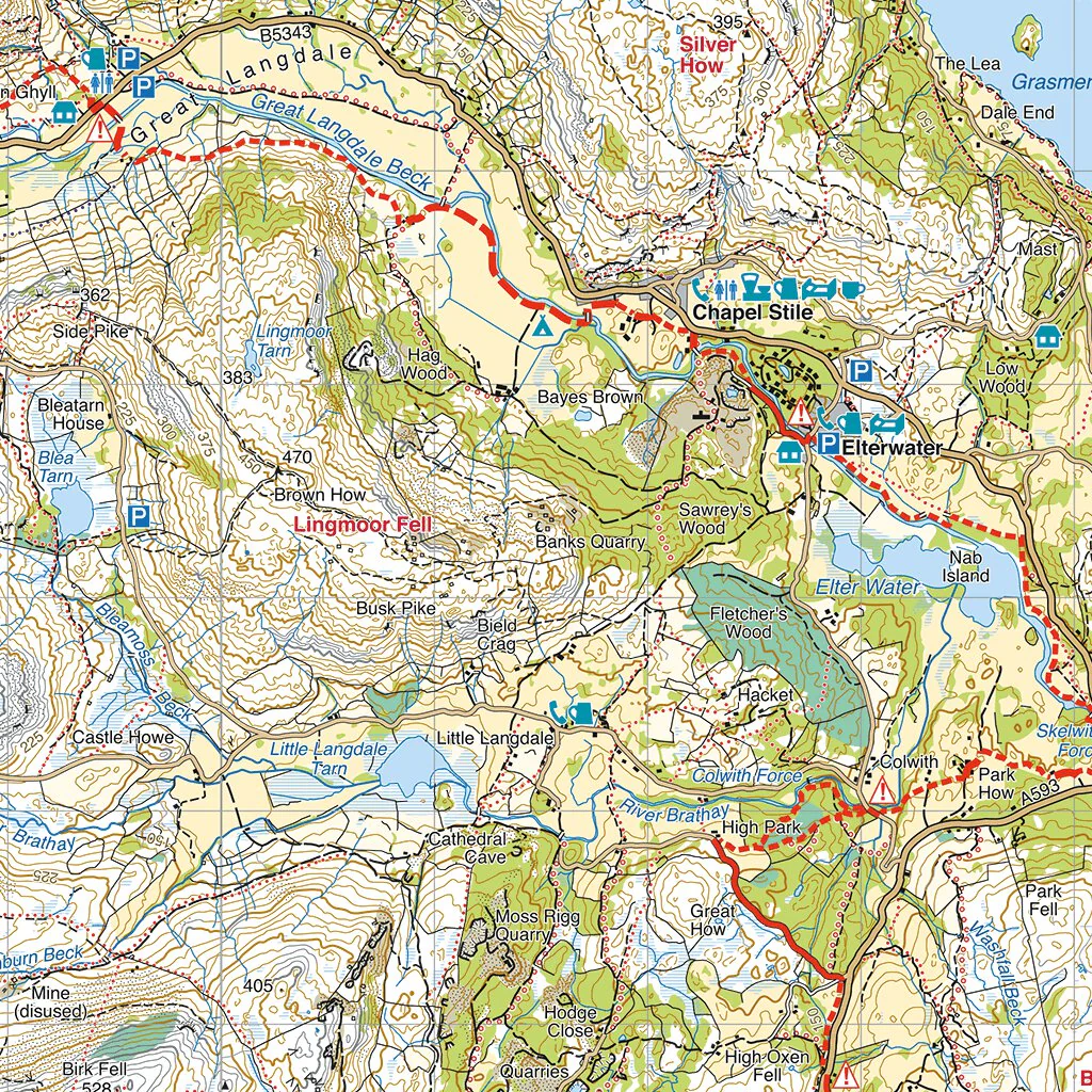
Detailed mapping, full legend. National Grid.
The paper version is mapped at 1:40,000 scale and is available from https://www.harveymaps.co.uk/acatalog/Cumbria-Way-YHWRCU.html#SID=4
Product Information
Product Information
Shipping & Returns
Shipping & Returns
Cumbria Way
Cumbria Way
The Cumbria Way is 112km (70 miles) from Ulverston to Carlisle. It passes through Coniston, Dungeon Ghyll, Keswick and Caldbeck in the Lake District National Park. Mostly through valleys rather than over high tops.
Detailed mapping, full legend. National Grid.
The paper version is mapped at 1:40,000 scale and is available from https://www.harveymaps.co.uk/acatalog/Cumbria-Way-YHWRCU.html#SID=4
$14.99
Cumbria Way—
$14.99
Product Information
Product Information
Shipping & Returns
Shipping & Returns
Description
The Cumbria Way is 112km (70 miles) from Ulverston to Carlisle. It passes through Coniston, Dungeon Ghyll, Keswick and Caldbeck in the Lake District National Park. Mostly through valleys rather than over high tops.
Detailed mapping, full legend. National Grid.
The paper version is mapped at 1:40,000 scale and is available from https://www.harveymaps.co.uk/acatalog/Cumbria-Way-YHWRCU.html#SID=4