🎉 Up to 70% Off Selected ItemsShop Sale
White Peak
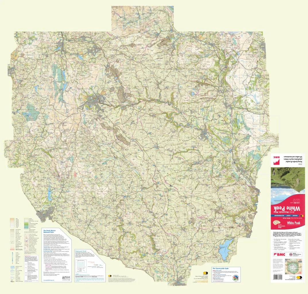
The hills and dales of the White Peak on a single map. Gentle limestone peaks and lush green valleys make up the southern part of the Peak District National Park, one of the most accessible National Parks in the UK.
Includes crag information for climbers.
"The 1:40,000 scale used by British Mountain Maps is excellent for hill walking. These maps provide clear, detailed information." Sir Chris Bonington, mountaineer.
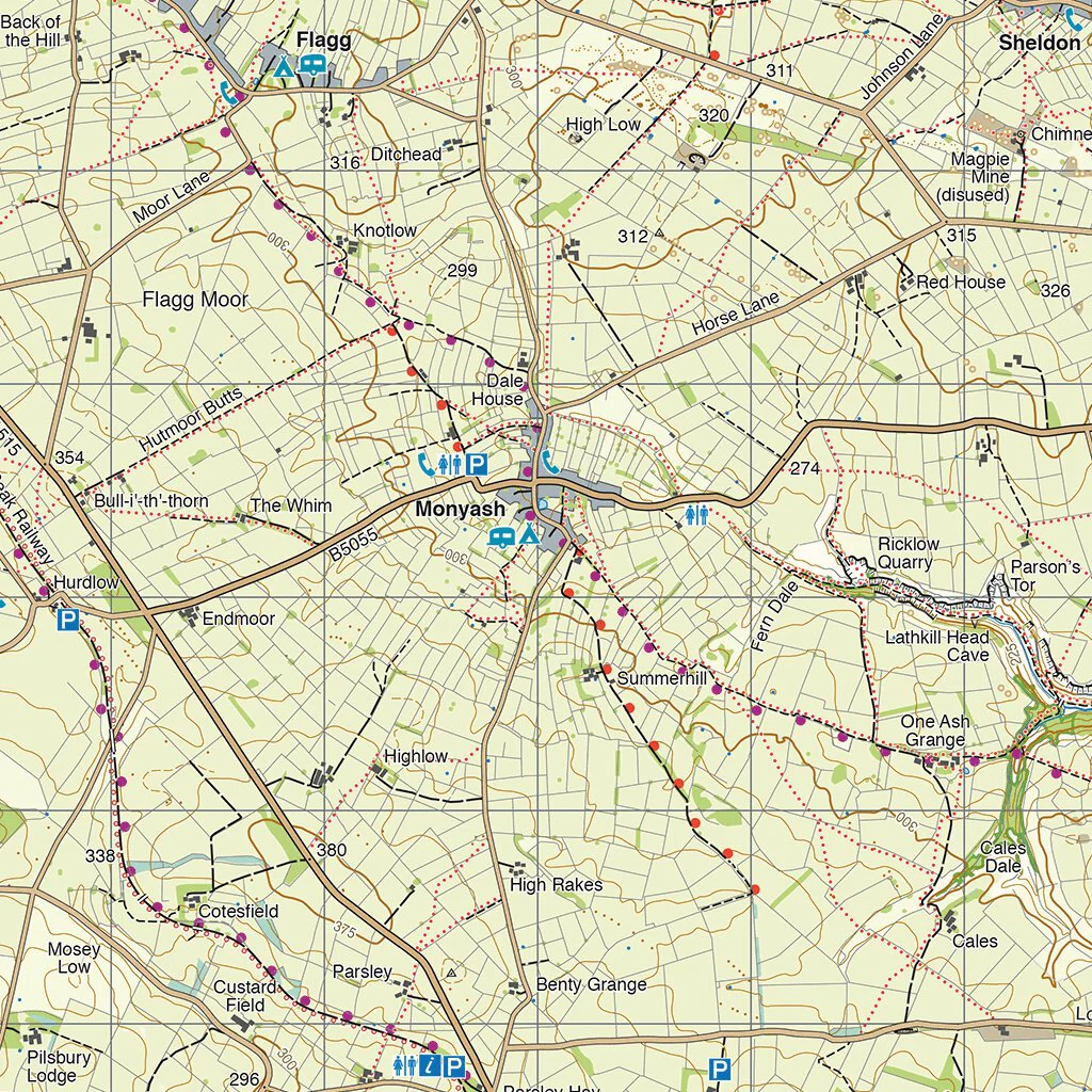
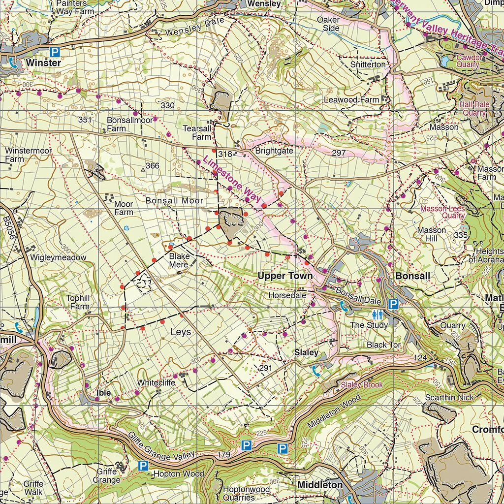
Detailed mapping, full legend. National Grid.
Genuine original HARVEY mapping
Includes Rights of Way
Tried and tested by the British Mountaineering Council
The paper version is mapped at 1:40,000 scale and is available from https://www.harveymaps.co.uk/acatalog/White-Peak-YHBMWP.html#SID=3
Also available: our Dark Peak map covers the northern part of the Peak District National Park.
Product Information
Product Information
Shipping & Returns
Shipping & Returns
White Peak
White Peak
The hills and dales of the White Peak on a single map. Gentle limestone peaks and lush green valleys make up the southern part of the Peak District National Park, one of the most accessible National Parks in the UK.
Includes crag information for climbers.
"The 1:40,000 scale used by British Mountain Maps is excellent for hill walking. These maps provide clear, detailed information." Sir Chris Bonington, mountaineer.
Detailed mapping, full legend. National Grid.
Genuine original HARVEY mapping
Includes Rights of Way
Tried and tested by the British Mountaineering Council
The paper version is mapped at 1:40,000 scale and is available from https://www.harveymaps.co.uk/acatalog/White-Peak-YHBMWP.html#SID=3
Also available: our Dark Peak map covers the northern part of the Peak District National Park.
$7.00
Original: $19.99
-65%White Peak—
$19.99
$7.00Product Information
Product Information
Shipping & Returns
Shipping & Returns
Description
The hills and dales of the White Peak on a single map. Gentle limestone peaks and lush green valleys make up the southern part of the Peak District National Park, one of the most accessible National Parks in the UK.
Includes crag information for climbers.
"The 1:40,000 scale used by British Mountain Maps is excellent for hill walking. These maps provide clear, detailed information." Sir Chris Bonington, mountaineer.
Detailed mapping, full legend. National Grid.
Genuine original HARVEY mapping
Includes Rights of Way
Tried and tested by the British Mountaineering Council
The paper version is mapped at 1:40,000 scale and is available from https://www.harveymaps.co.uk/acatalog/White-Peak-YHBMWP.html#SID=3
Also available: our Dark Peak map covers the northern part of the Peak District National Park.