🎉 Up to 70% Off Selected ItemsShop Sale
SxS Tracks Crescent to McKay Crossing
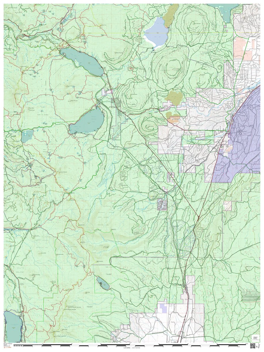
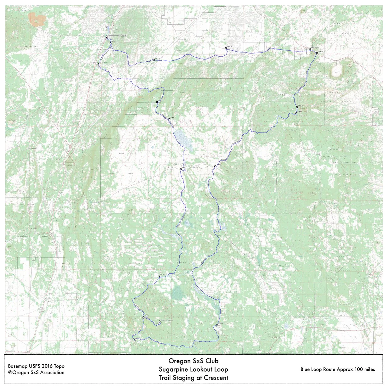
SxS tracks for rides between Paulina Creek area south to Crescent. Also works for Gravel Riders.
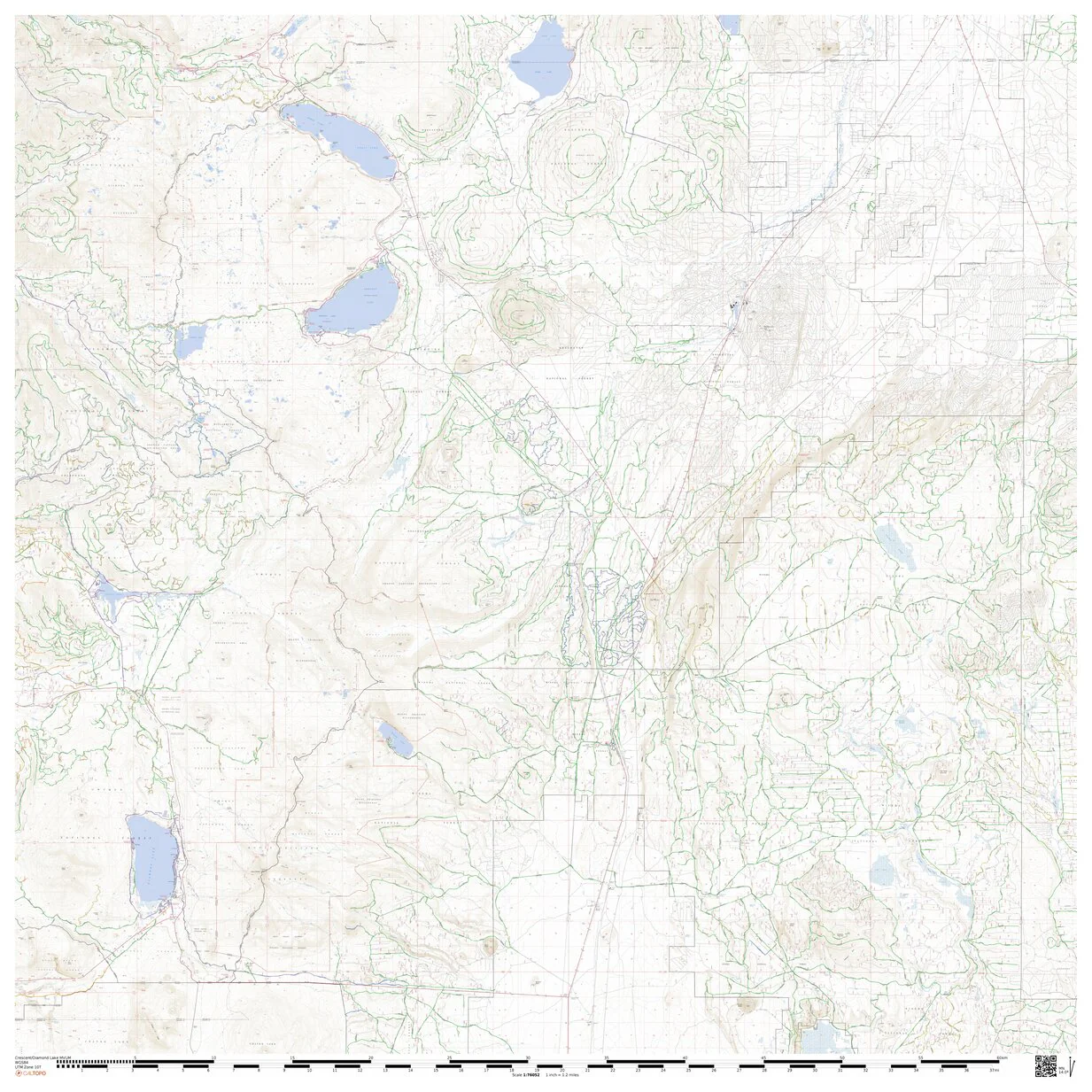
Base map is the USFS 2016 Deschutes Forest Map, overlays are public land, Motor Vehicle Use Map, Map Builders roads and UTV Rugged Riders tracks. This will give user a complete picture of roads and which roads are UTV and gravel bike legal along with land ownership graphically displayed. See the Map Notes for a detailed legend.
Legend:
Green lighted black dotted roads are SXS legal year-round.
Yellow lighted black dotted roads are seasonally open, usually between April1 and Nov. 30.
All other roads are illegal for SXS use.
Colored background land is public land
White background land is private
Red roads are SxS tracks
Product Information
Product Information
Shipping & Returns
Shipping & Returns


SxS Tracks Crescent to McKay Crossing
SxS Tracks Crescent to McKay Crossing
SxS tracks for rides between Paulina Creek area south to Crescent. Also works for Gravel Riders.
Base map is the USFS 2016 Deschutes Forest Map, overlays are public land, Motor Vehicle Use Map, Map Builders roads and UTV Rugged Riders tracks. This will give user a complete picture of roads and which roads are UTV and gravel bike legal along with land ownership graphically displayed. See the Map Notes for a detailed legend.
Legend:
Green lighted black dotted roads are SXS legal year-round.
Yellow lighted black dotted roads are seasonally open, usually between April1 and Nov. 30.
All other roads are illegal for SXS use.
Colored background land is public land
White background land is private
Red roads are SxS tracks
$1.75
Original: $4.99
-65%SxS Tracks Crescent to McKay Crossing—
$4.99
$1.75Product Information
Product Information
Shipping & Returns
Shipping & Returns
Description
SxS tracks for rides between Paulina Creek area south to Crescent. Also works for Gravel Riders.
Base map is the USFS 2016 Deschutes Forest Map, overlays are public land, Motor Vehicle Use Map, Map Builders roads and UTV Rugged Riders tracks. This will give user a complete picture of roads and which roads are UTV and gravel bike legal along with land ownership graphically displayed. See the Map Notes for a detailed legend.
Legend:
Green lighted black dotted roads are SXS legal year-round.
Yellow lighted black dotted roads are seasonally open, usually between April1 and Nov. 30.
All other roads are illegal for SXS use.
Colored background land is public land
White background land is private
Red roads are SxS tracks