🎉 Up to 70% Off Selected ItemsShop Sale
SxS Tracks MVUM Base Map Crescent Area
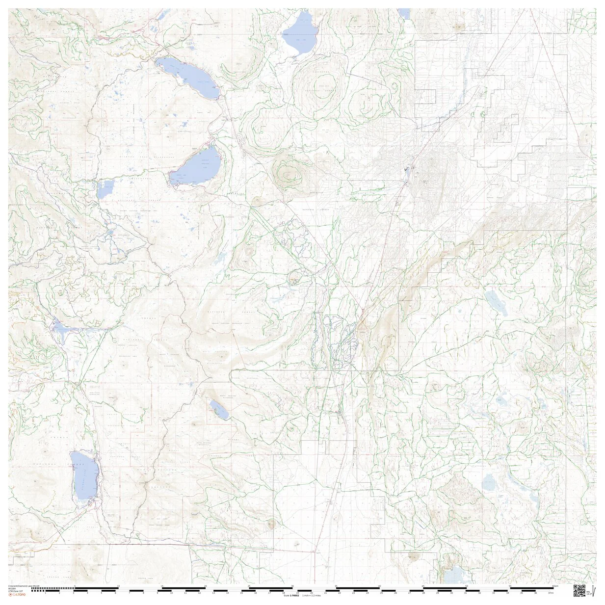
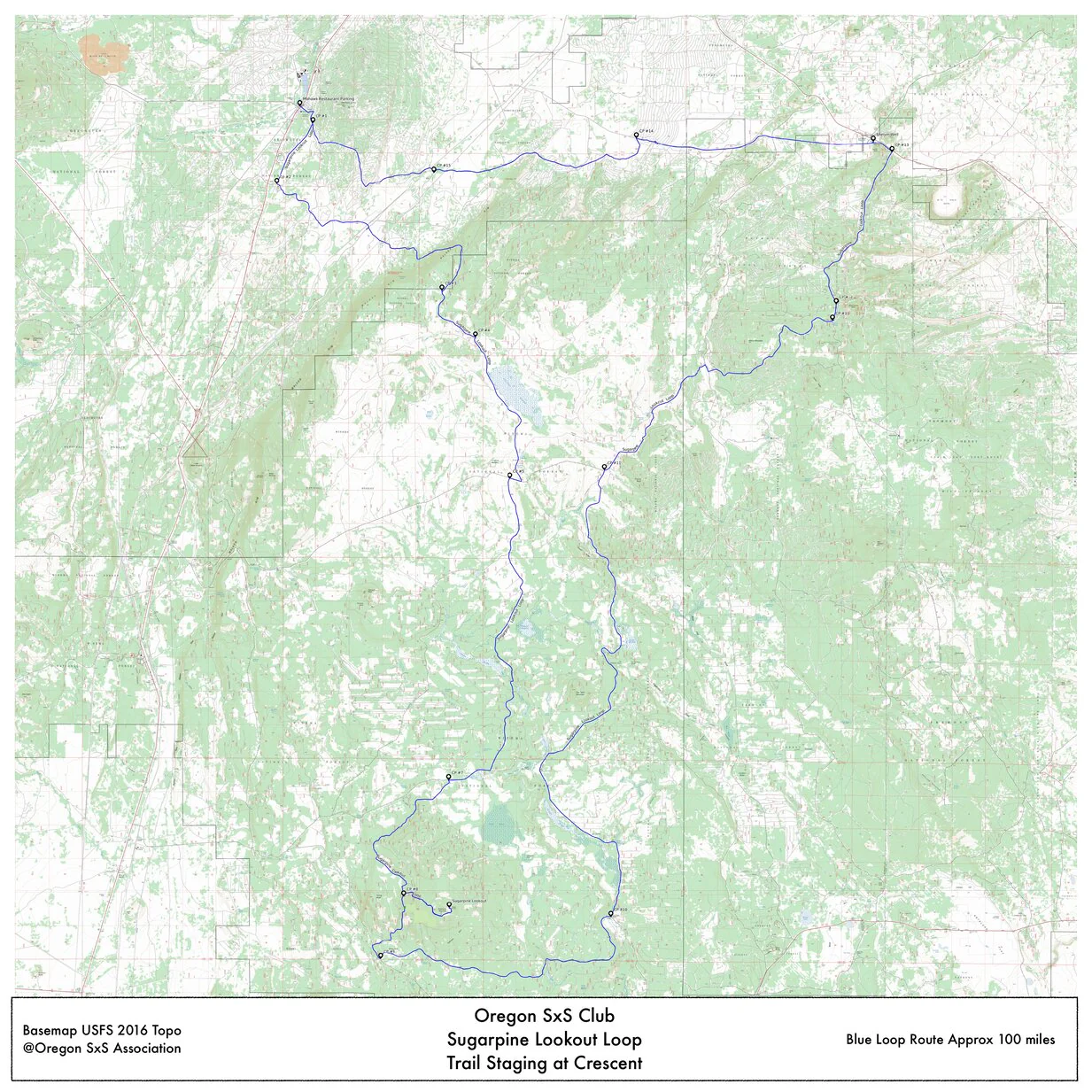
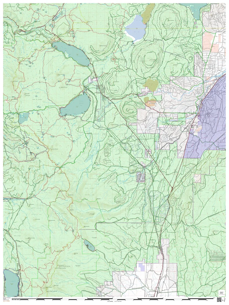
This map is intended for Club members reference document to build custom routes or record rides as an overlay. The area covered is west of Crescent Oregon to Odell Lake and south to Diamond Lake.
LEDEND;
Green or green with black dots highlighted roads are open to UTV travel year around.
Yellow or yellow with black dots highlighted roads are seasonally closed to UTV travel
All other roads are closed to UTV use
Caution: The USFS and BLM MVUM maps are subject to change without notice, check with local authority before proceeding with all ride for current restriction and conditions. Always have current USFS MVUM maps for review.
Product Information
Product Information
Shipping & Returns
Shipping & Returns


SxS Tracks MVUM Base Map Crescent Area
SxS Tracks MVUM Base Map Crescent Area
This map is intended for Club members reference document to build custom routes or record rides as an overlay. The area covered is west of Crescent Oregon to Odell Lake and south to Diamond Lake.
LEDEND;
Green or green with black dots highlighted roads are open to UTV travel year around.
Yellow or yellow with black dots highlighted roads are seasonally closed to UTV travel
All other roads are closed to UTV use
Caution: The USFS and BLM MVUM maps are subject to change without notice, check with local authority before proceeding with all ride for current restriction and conditions. Always have current USFS MVUM maps for review.
$4.99
SxS Tracks MVUM Base Map Crescent Area—
$4.99
Product Information
Product Information
Shipping & Returns
Shipping & Returns
Description
This map is intended for Club members reference document to build custom routes or record rides as an overlay. The area covered is west of Crescent Oregon to Odell Lake and south to Diamond Lake.
LEDEND;
Green or green with black dots highlighted roads are open to UTV travel year around.
Yellow or yellow with black dots highlighted roads are seasonally closed to UTV travel
All other roads are closed to UTV use
Caution: The USFS and BLM MVUM maps are subject to change without notice, check with local authority before proceeding with all ride for current restriction and conditions. Always have current USFS MVUM maps for review.