🎉 Up to 70% Off Selected ItemsShop Sale
Crescent Oregon Overland Adventure Routes Base Map
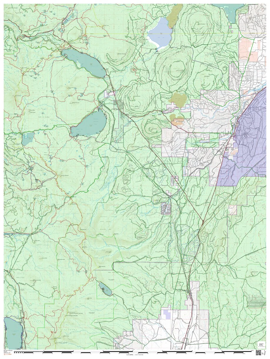
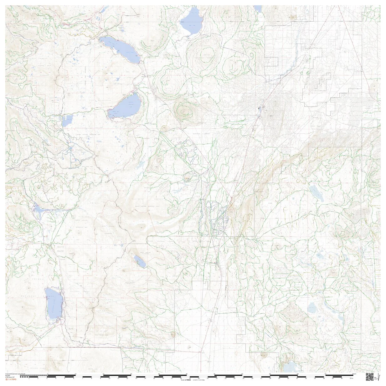
This base map combines USFS MVUM, BLM roads, State/local/private forest and historic fire information into one map for lands east of Crescent Oregon to Fort Rock and south Paulina to Chemult Oregon.
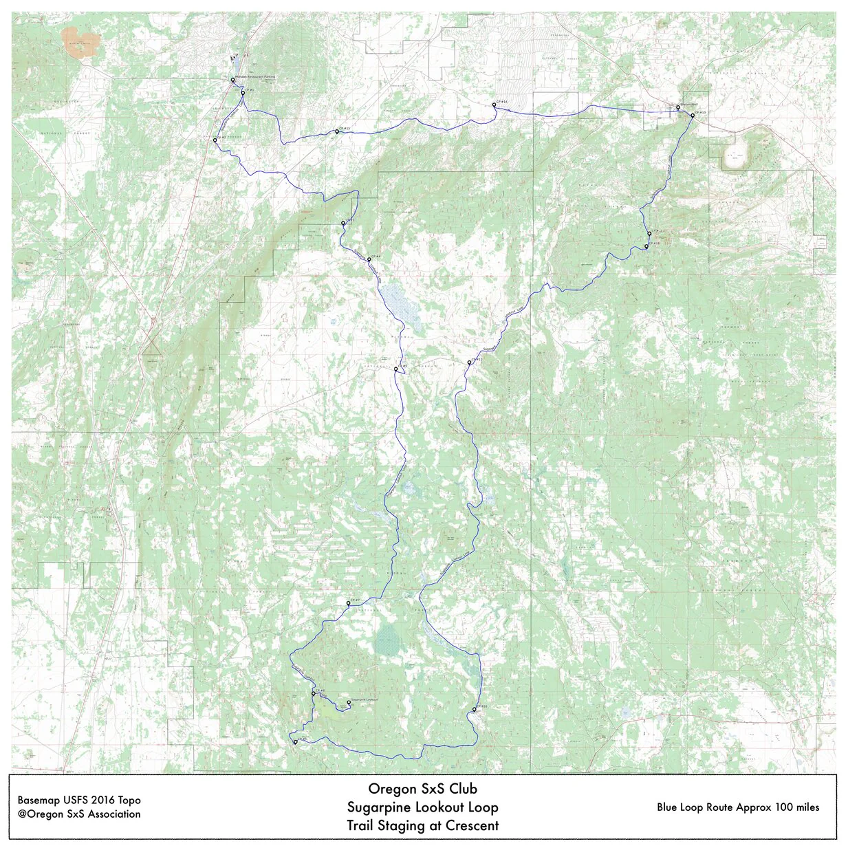
This and bundle it is also included in are intended as base maps for UTV drivers to plan custom rides and track rides in the Avenza app on known UTV legal roads and trails. Additionally historic fire information is shown so drivers can avoid these areas.
Map Legend;
Green highlighted roads and trails are UTV legal year around
Yellow highlighted roads and trails are UTV legal seasonally April 1 thru Nov. 30
All other roads or trails shown are NOT LEGAL for UTV use
Caution: The included information is subject to change without notice. Always check with local authorities and agencies for proceeding on all rides.
Product Information
Product Information
Shipping & Returns
Shipping & Returns


Crescent Oregon Overland Adventure Routes Base Map
Crescent Oregon Overland Adventure Routes Base Map
This base map combines USFS MVUM, BLM roads, State/local/private forest and historic fire information into one map for lands east of Crescent Oregon to Fort Rock and south Paulina to Chemult Oregon.
This and bundle it is also included in are intended as base maps for UTV drivers to plan custom rides and track rides in the Avenza app on known UTV legal roads and trails. Additionally historic fire information is shown so drivers can avoid these areas.
Map Legend;
Green highlighted roads and trails are UTV legal year around
Yellow highlighted roads and trails are UTV legal seasonally April 1 thru Nov. 30
All other roads or trails shown are NOT LEGAL for UTV use
Caution: The included information is subject to change without notice. Always check with local authorities and agencies for proceeding on all rides.
$1.75
Original: $4.99
-65%Crescent Oregon Overland Adventure Routes Base Map—
$4.99
$1.75Product Information
Product Information
Shipping & Returns
Shipping & Returns
Description
This base map combines USFS MVUM, BLM roads, State/local/private forest and historic fire information into one map for lands east of Crescent Oregon to Fort Rock and south Paulina to Chemult Oregon.
This and bundle it is also included in are intended as base maps for UTV drivers to plan custom rides and track rides in the Avenza app on known UTV legal roads and trails. Additionally historic fire information is shown so drivers can avoid these areas.
Map Legend;
Green highlighted roads and trails are UTV legal year around
Yellow highlighted roads and trails are UTV legal seasonally April 1 thru Nov. 30
All other roads or trails shown are NOT LEGAL for UTV use
Caution: The included information is subject to change without notice. Always check with local authorities and agencies for proceeding on all rides.