🎉 Up to 70% Off Selected ItemsShop Sale
Wickiup Res. Area Motor Vehicle Use Map
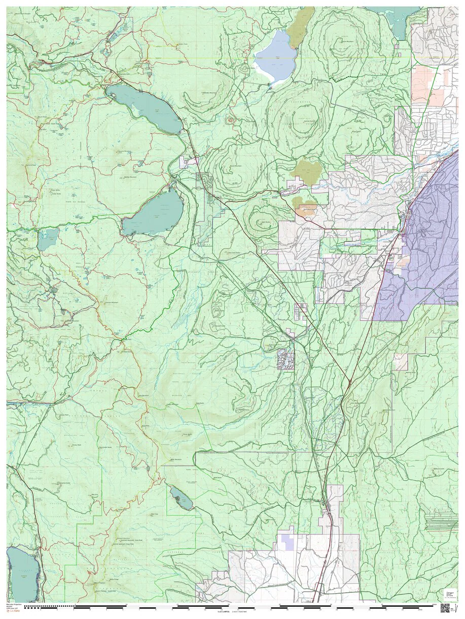
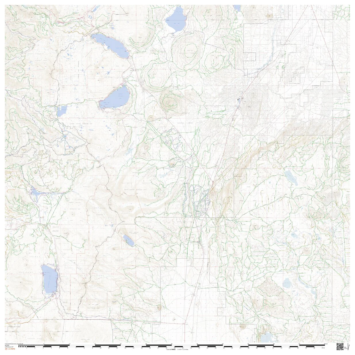
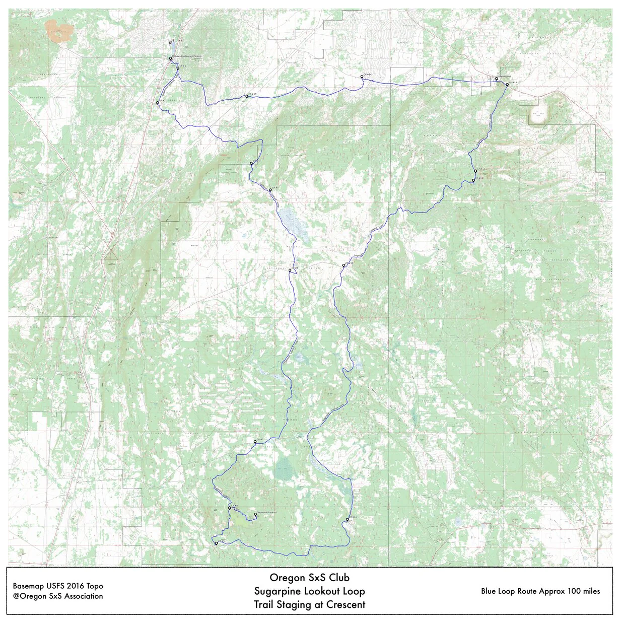
This map is an custom color coded overlay of the USFS Motor Vehicle Use Map for 2025 on a the USFS 2016 topo map. This covers the Deschutes NF north from Crescent Lake to Mount Bachelor. See map Legend below for details.
The map is intend for the exclusive use of Central Oregon SxS Club Members.
Legend;
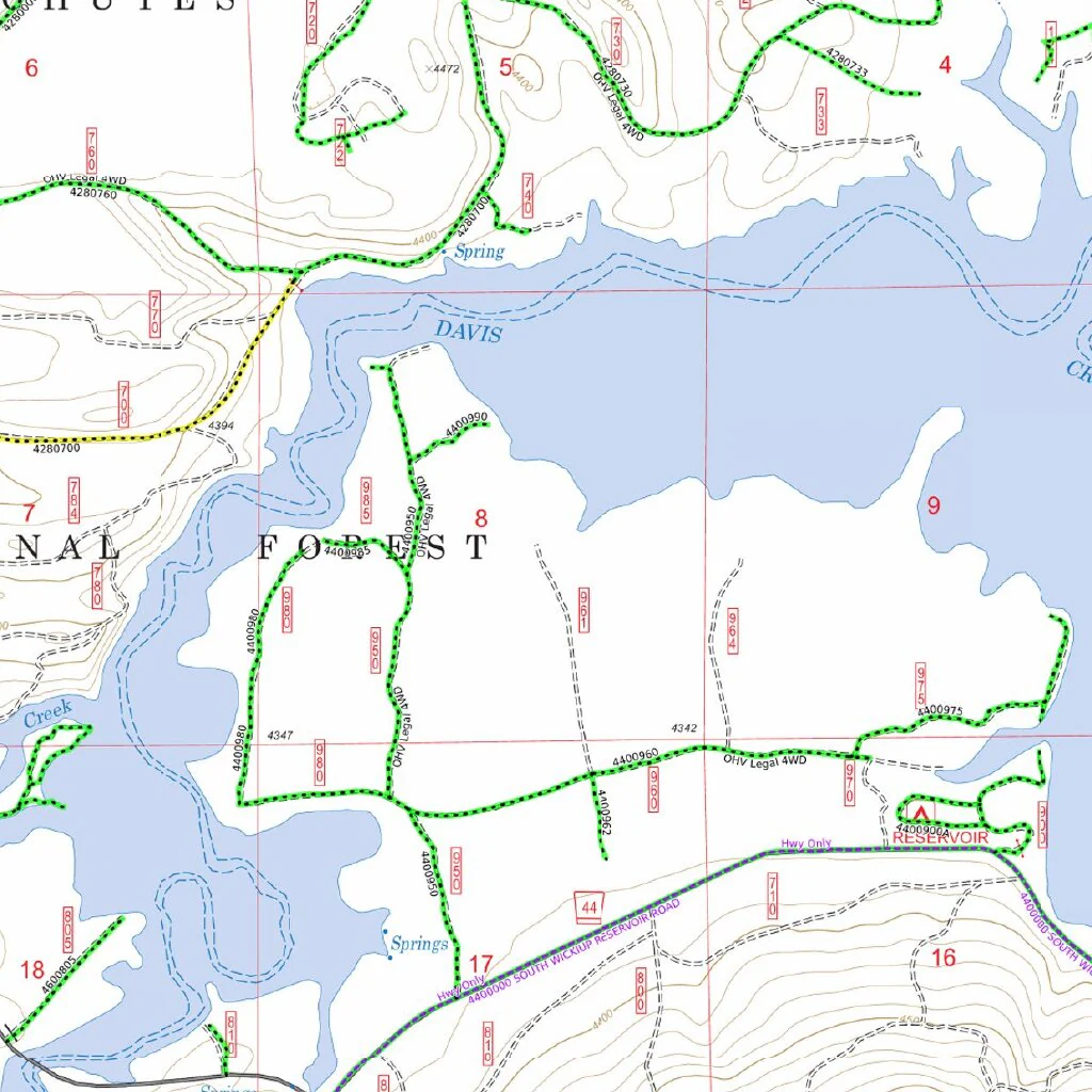
Green dotted roads are MVUM SxS and all other vehicle legal year around.
Yellow dotted roads are MVUM seasonally opened (usually closed Nov. 30 thru April 1).
All other roads shown are only for use by highway legal and licensed vehicles.
This is intended for SxS and overland vehicle use only and is subject change and/or closures without notice. It is the maps user's liability to confirm the accuracy of this with local authorities before proceeding.
Product Information
Product Information
Shipping & Returns
Shipping & Returns


Wickiup Res. Area Motor Vehicle Use Map
Wickiup Res. Area Motor Vehicle Use Map
This map is an custom color coded overlay of the USFS Motor Vehicle Use Map for 2025 on a the USFS 2016 topo map. This covers the Deschutes NF north from Crescent Lake to Mount Bachelor. See map Legend below for details.
The map is intend for the exclusive use of Central Oregon SxS Club Members.
Legend;
Green dotted roads are MVUM SxS and all other vehicle legal year around.
Yellow dotted roads are MVUM seasonally opened (usually closed Nov. 30 thru April 1).
All other roads shown are only for use by highway legal and licensed vehicles.
This is intended for SxS and overland vehicle use only and is subject change and/or closures without notice. It is the maps user's liability to confirm the accuracy of this with local authorities before proceeding.
$1.75
Original: $4.99
-65%Wickiup Res. Area Motor Vehicle Use Map—
$4.99
$1.75Product Information
Product Information
Shipping & Returns
Shipping & Returns
Description
This map is an custom color coded overlay of the USFS Motor Vehicle Use Map for 2025 on a the USFS 2016 topo map. This covers the Deschutes NF north from Crescent Lake to Mount Bachelor. See map Legend below for details.
The map is intend for the exclusive use of Central Oregon SxS Club Members.
Legend;
Green dotted roads are MVUM SxS and all other vehicle legal year around.
Yellow dotted roads are MVUM seasonally opened (usually closed Nov. 30 thru April 1).
All other roads shown are only for use by highway legal and licensed vehicles.
This is intended for SxS and overland vehicle use only and is subject change and/or closures without notice. It is the maps user's liability to confirm the accuracy of this with local authorities before proceeding.