🎉 Up to 70% Off Selected ItemsShop Sale
14ers of Colorado - High Country Recreation Maps Bundle
This is a one-time purchase. For buyers of this current map, a free updated version will soon be available! You can find new places to explore, be responsible, and stay safe when using this map.
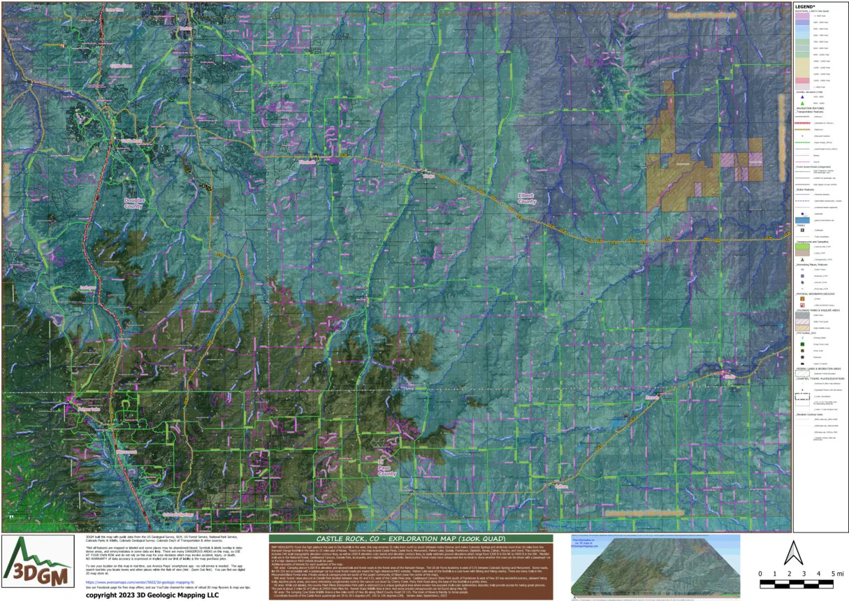
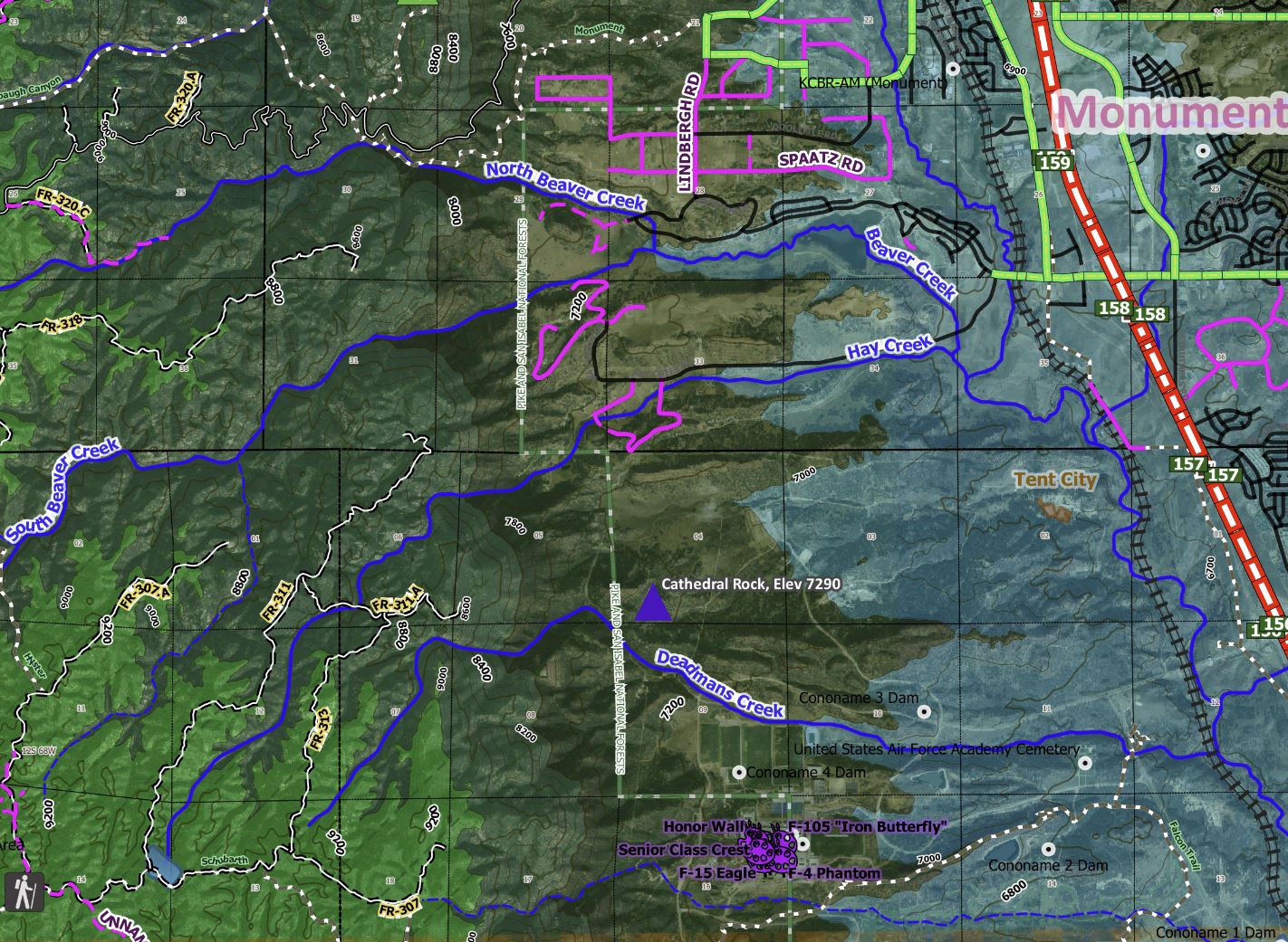
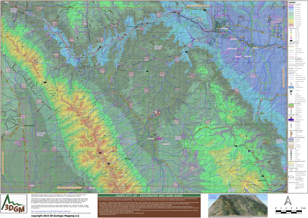
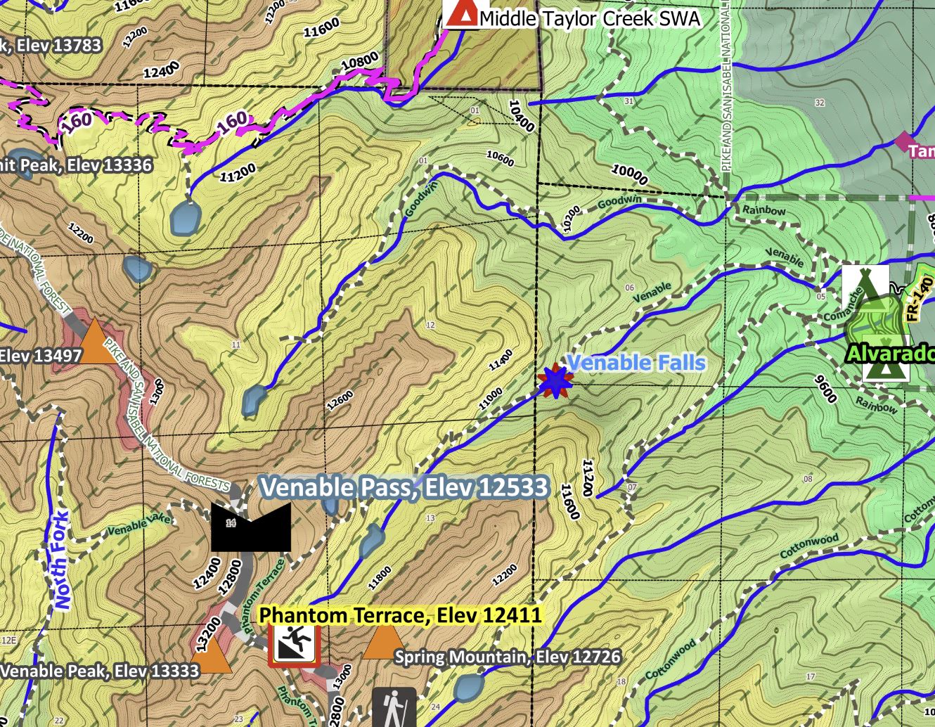
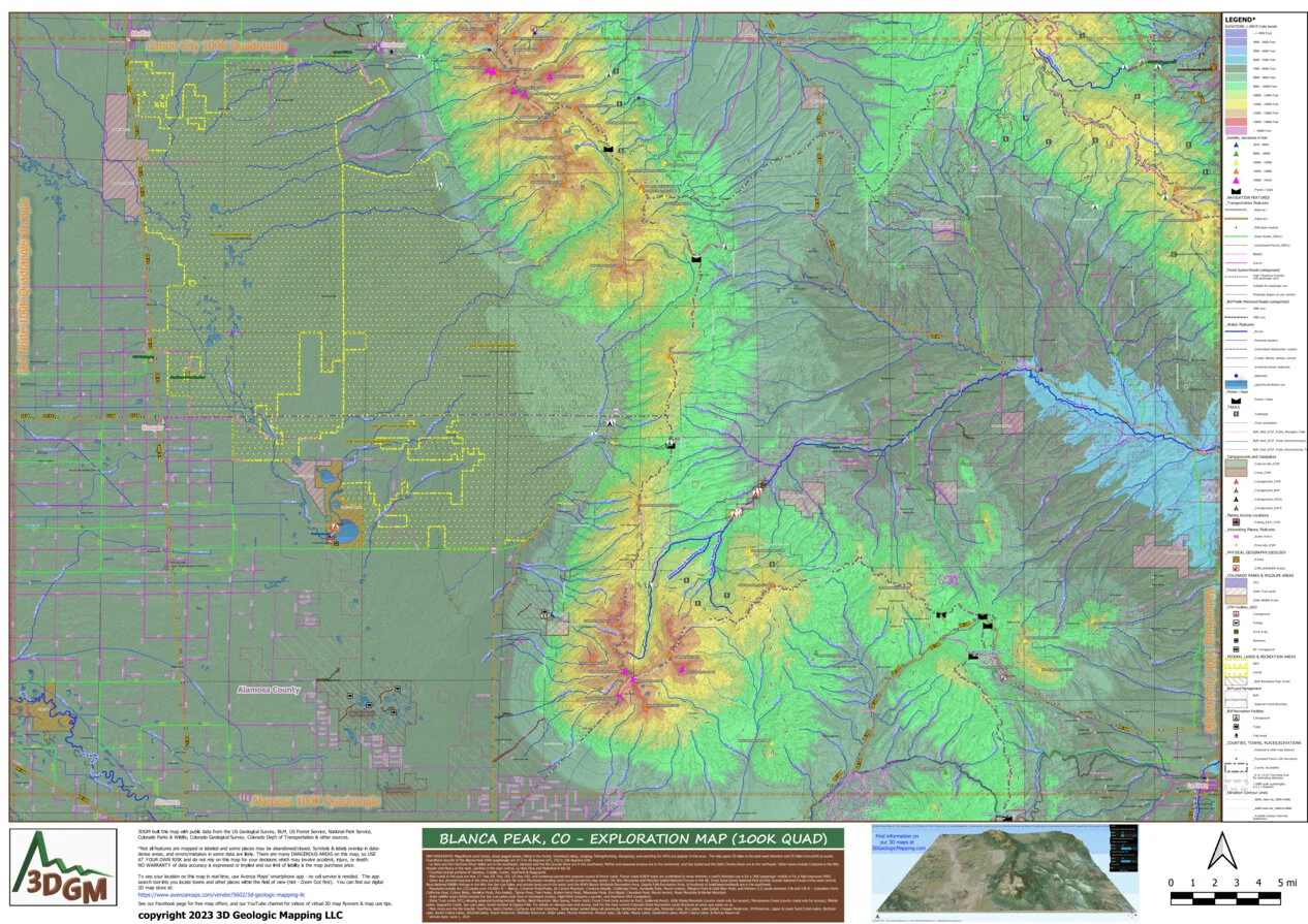
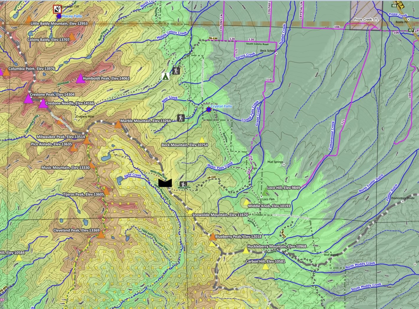
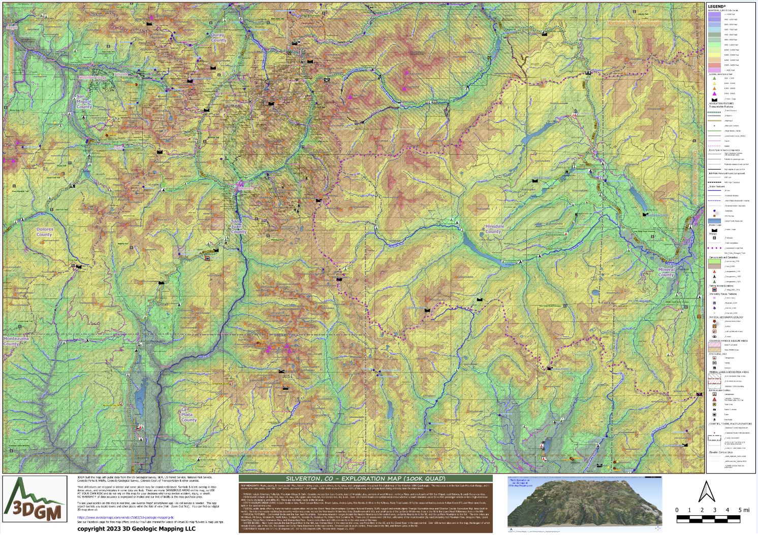
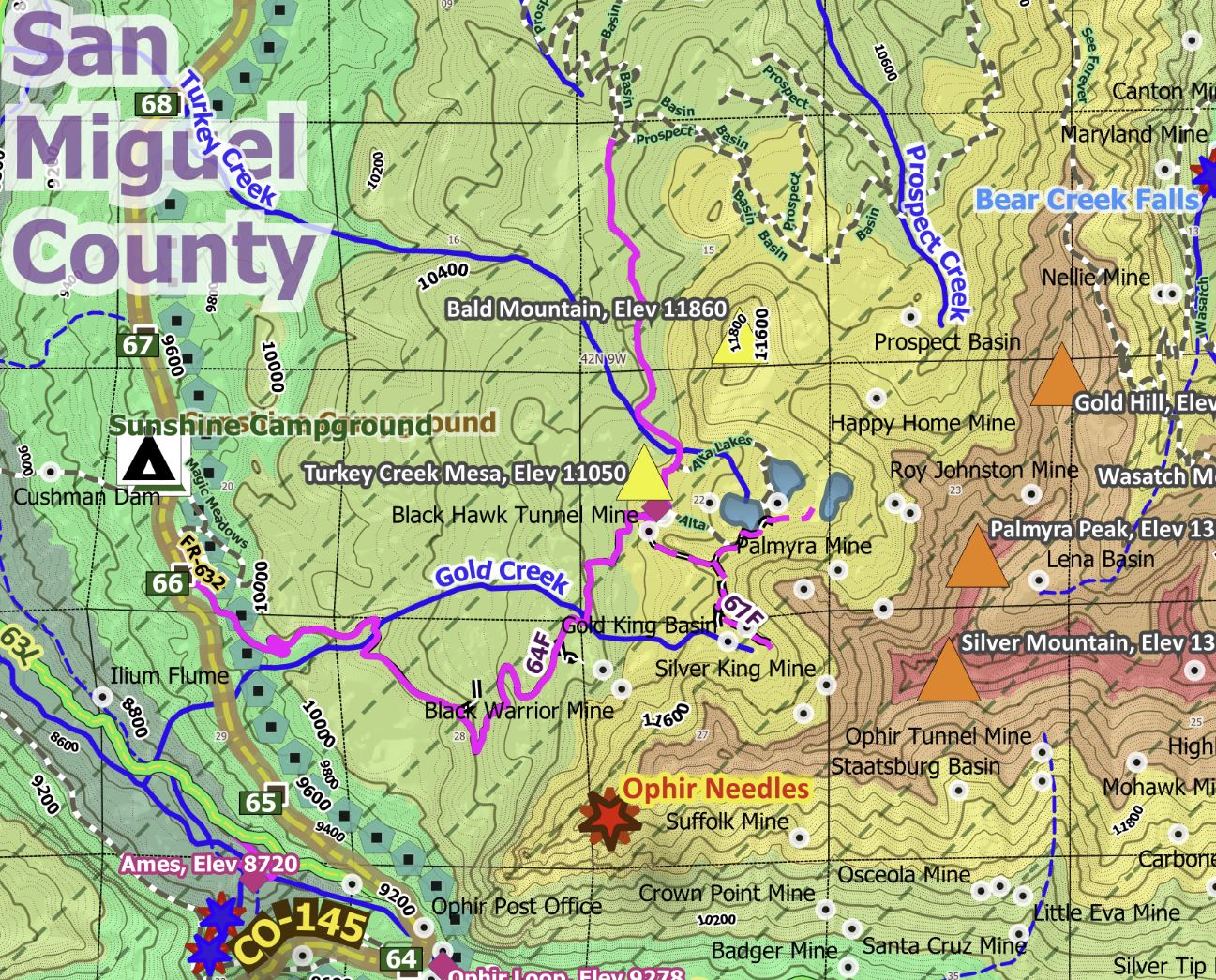
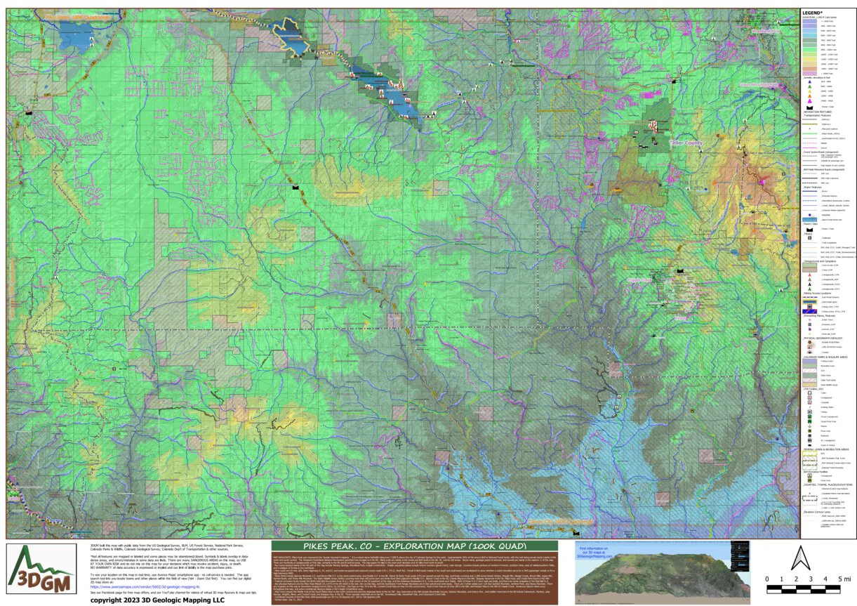
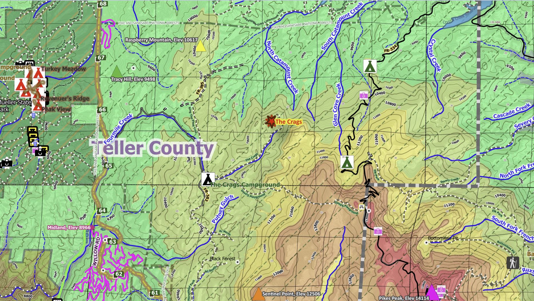
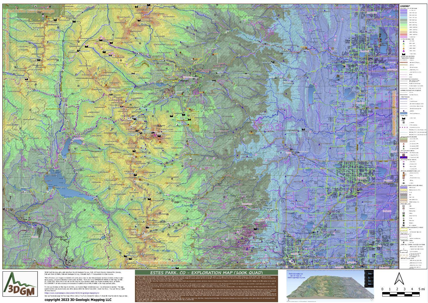
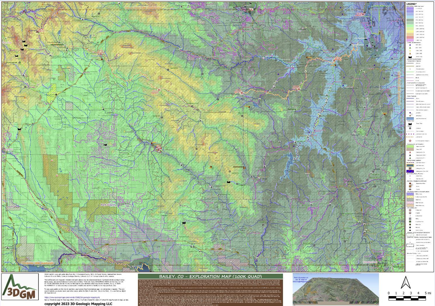
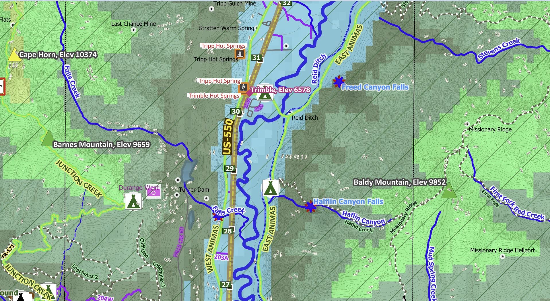
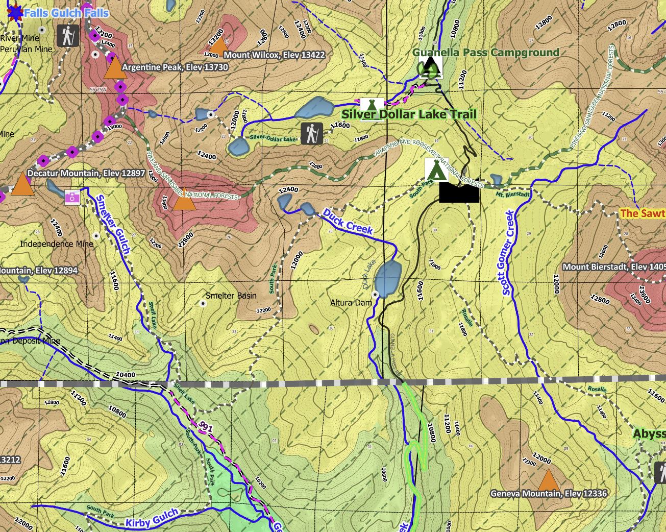
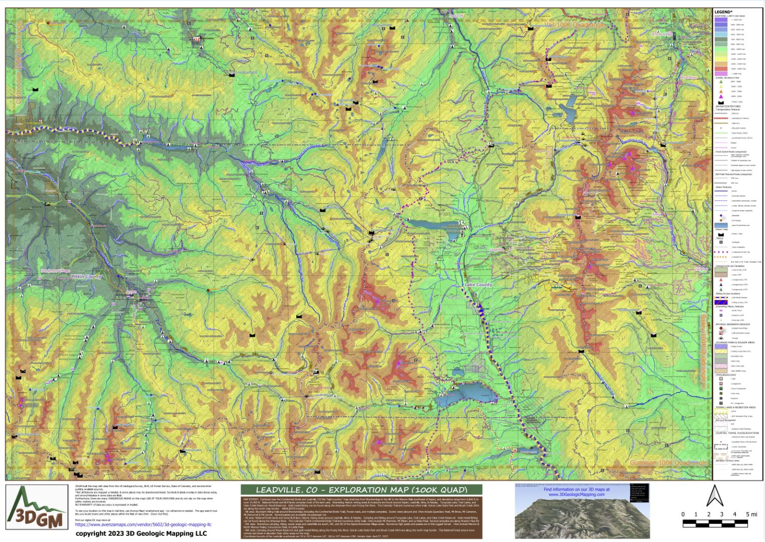
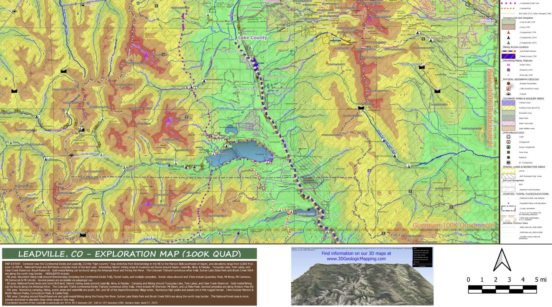
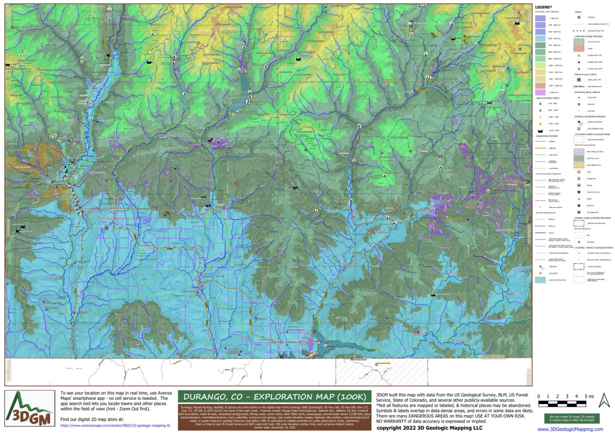
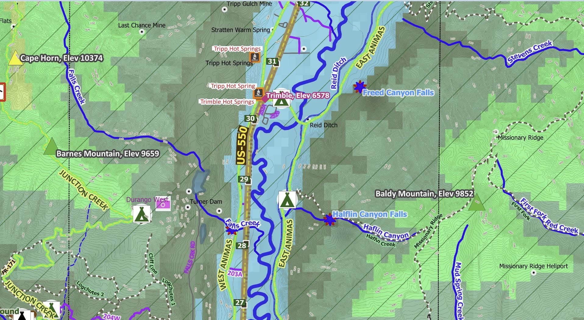
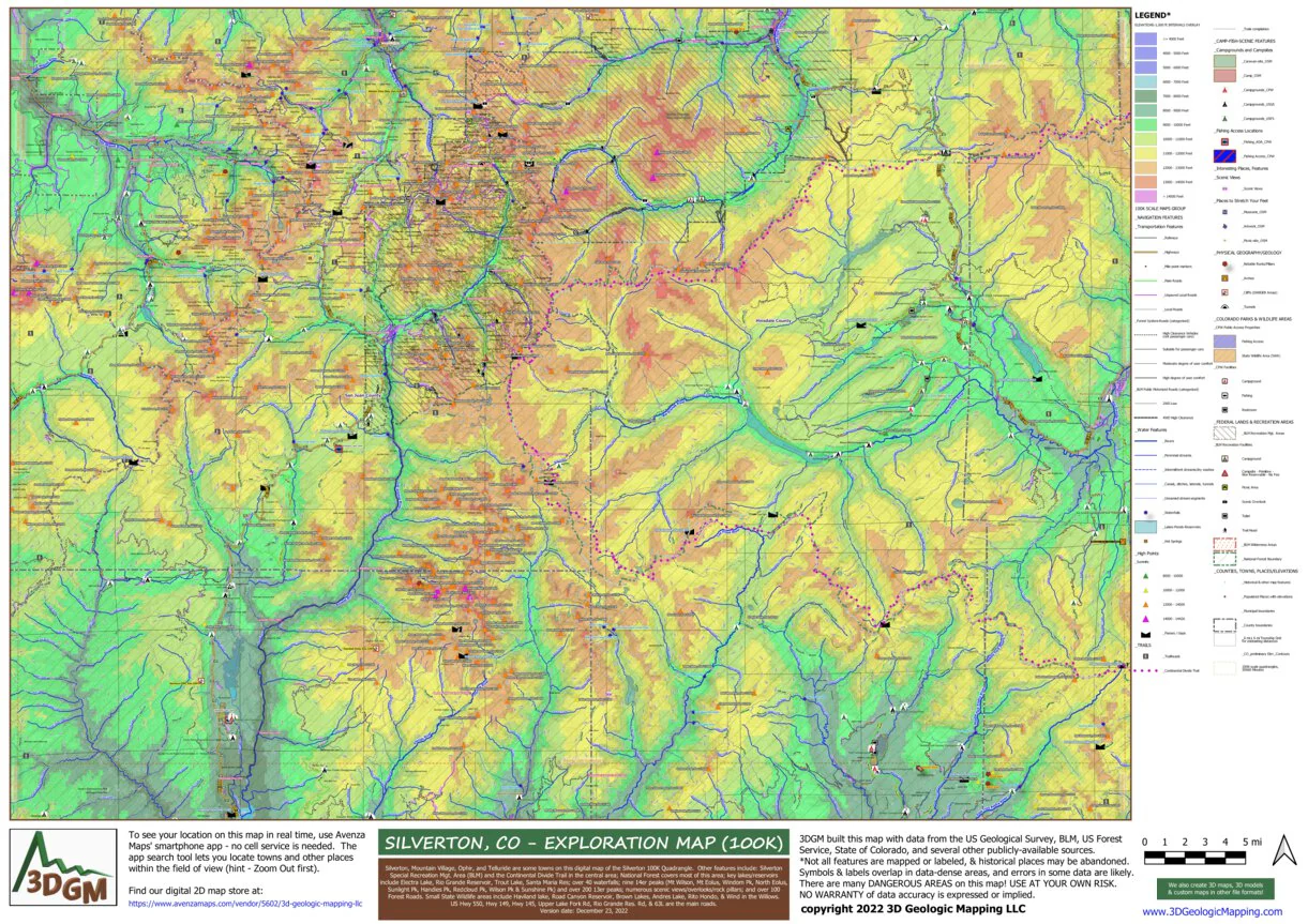
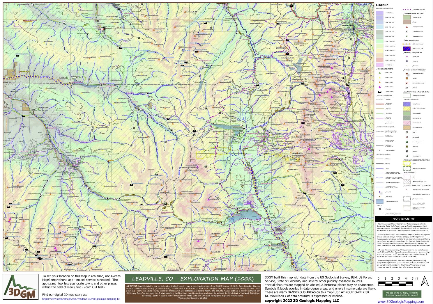
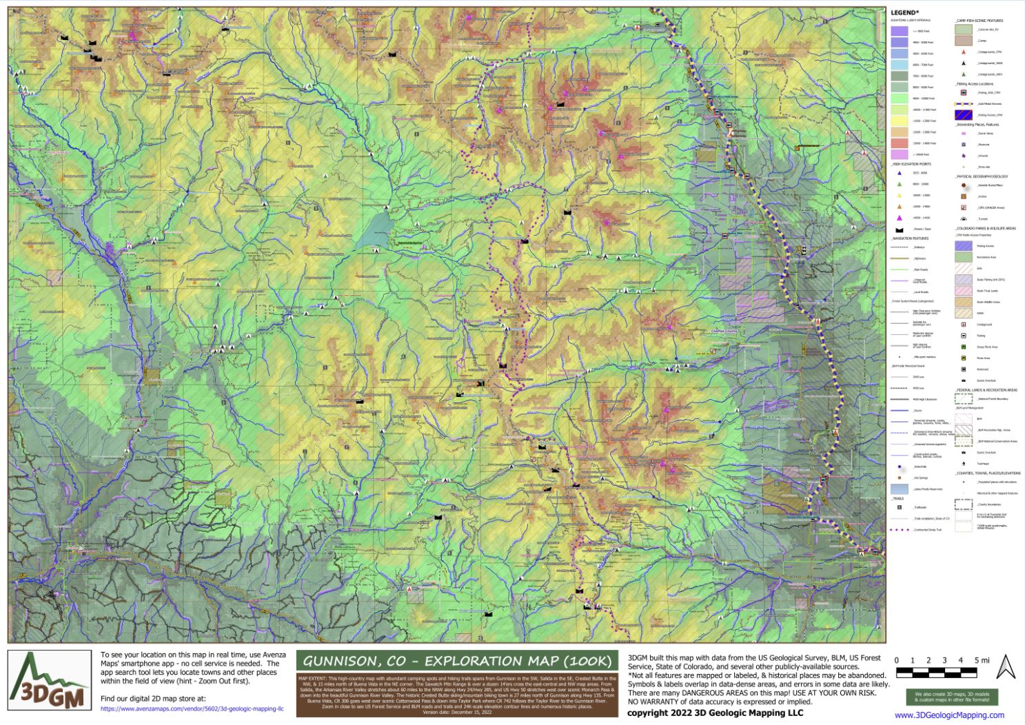
This bargain bundle of 13 maps covers the beautiful "highest country" areas of Colorado! Recreation features abound on the map areas around all 57 of the peaks over 14,000 feet in Colorado. Zoom in to see the elevation contours which come from USGS' 24K-scale topographic maps. Detailed legends, and labels for most features, let you find "very cool" places of interest near the 14ers: waterfalls, cliffs, overlooks, trails, campsites, backroads, gold medal fishing streams/lakes & access points; National Forests/BLM recreation areas and their roads (symbolized by the types of vehicles intended); State Parks & their facilities plus other accessible State lands like wildlife areas (for details on uses allowed for the properties refer to https://cpw.state.co.us/Documents/RulesRegs/Brochure/lands.pdf) several Federal lands (National parks, monuments & wildlife areas); streams/lakes/reservoirs, hot springs, tunnels, highways w/mile-markers labeled, labeled main/unpaved/local roads; historic landmarks (like mines, cemeteries, schools, springs, landing strips...); picnic spots, scenic views, & yes, many restrooms!
Recent comments on our maps from trail lovers and rockhounds include: "That is so cool!!!!!!", "Kinda really brings out the kid in all of us, doesnt it? My rxn exactly", "Super neat", "Okay, I’m in!"
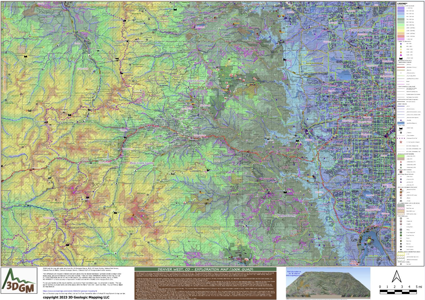
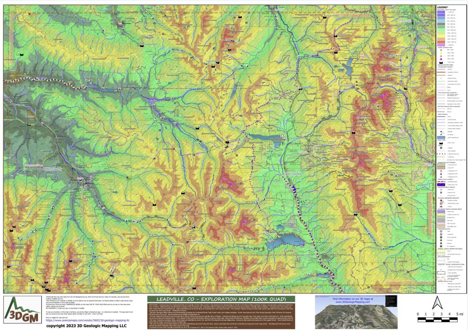
With thirteen (13) 100K scale quadrangle area maps at about 2,000 sq mi/map (including the buffer on each map), this package covers about 1/4 of the entire area of the state of Colorado (which has 104,185 sq mi) for well under the cost of 4 of the maps if sold separately. This map bundle is a FANTASTIC deal!
Product Information
Product Information
Shipping & Returns
Shipping & Returns
14ers of Colorado - High Country Recreation Maps Bundle
14ers of Colorado - High Country Recreation Maps Bundle
This is a one-time purchase. For buyers of this current map, a free updated version will soon be available! You can find new places to explore, be responsible, and stay safe when using this map.
This bargain bundle of 13 maps covers the beautiful "highest country" areas of Colorado! Recreation features abound on the map areas around all 57 of the peaks over 14,000 feet in Colorado. Zoom in to see the elevation contours which come from USGS' 24K-scale topographic maps. Detailed legends, and labels for most features, let you find "very cool" places of interest near the 14ers: waterfalls, cliffs, overlooks, trails, campsites, backroads, gold medal fishing streams/lakes & access points; National Forests/BLM recreation areas and their roads (symbolized by the types of vehicles intended); State Parks & their facilities plus other accessible State lands like wildlife areas (for details on uses allowed for the properties refer to https://cpw.state.co.us/Documents/RulesRegs/Brochure/lands.pdf) several Federal lands (National parks, monuments & wildlife areas); streams/lakes/reservoirs, hot springs, tunnels, highways w/mile-markers labeled, labeled main/unpaved/local roads; historic landmarks (like mines, cemeteries, schools, springs, landing strips...); picnic spots, scenic views, & yes, many restrooms!
Recent comments on our maps from trail lovers and rockhounds include: "That is so cool!!!!!!", "Kinda really brings out the kid in all of us, doesnt it? My rxn exactly", "Super neat", "Okay, I’m in!"
With thirteen (13) 100K scale quadrangle area maps at about 2,000 sq mi/map (including the buffer on each map), this package covers about 1/4 of the entire area of the state of Colorado (which has 104,185 sq mi) for well under the cost of 4 of the maps if sold separately. This map bundle is a FANTASTIC deal!
$17.99
14ers of Colorado - High Country Recreation Maps Bundle—
$17.99
Product Information
Product Information
Shipping & Returns
Shipping & Returns
Description
This is a one-time purchase. For buyers of this current map, a free updated version will soon be available! You can find new places to explore, be responsible, and stay safe when using this map.
This bargain bundle of 13 maps covers the beautiful "highest country" areas of Colorado! Recreation features abound on the map areas around all 57 of the peaks over 14,000 feet in Colorado. Zoom in to see the elevation contours which come from USGS' 24K-scale topographic maps. Detailed legends, and labels for most features, let you find "very cool" places of interest near the 14ers: waterfalls, cliffs, overlooks, trails, campsites, backroads, gold medal fishing streams/lakes & access points; National Forests/BLM recreation areas and their roads (symbolized by the types of vehicles intended); State Parks & their facilities plus other accessible State lands like wildlife areas (for details on uses allowed for the properties refer to https://cpw.state.co.us/Documents/RulesRegs/Brochure/lands.pdf) several Federal lands (National parks, monuments & wildlife areas); streams/lakes/reservoirs, hot springs, tunnels, highways w/mile-markers labeled, labeled main/unpaved/local roads; historic landmarks (like mines, cemeteries, schools, springs, landing strips...); picnic spots, scenic views, & yes, many restrooms!
Recent comments on our maps from trail lovers and rockhounds include: "That is so cool!!!!!!", "Kinda really brings out the kid in all of us, doesnt it? My rxn exactly", "Super neat", "Okay, I’m in!"
With thirteen (13) 100K scale quadrangle area maps at about 2,000 sq mi/map (including the buffer on each map), this package covers about 1/4 of the entire area of the state of Colorado (which has 104,185 sq mi) for well under the cost of 4 of the maps if sold separately. This map bundle is a FANTASTIC deal!