🎉 Up to 70% Off Selected ItemsShop Sale
Canon City, CO Exploration Map for Sightseeing
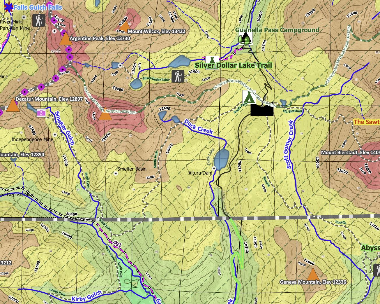
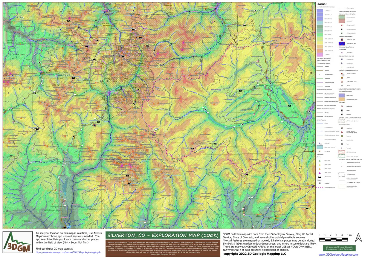
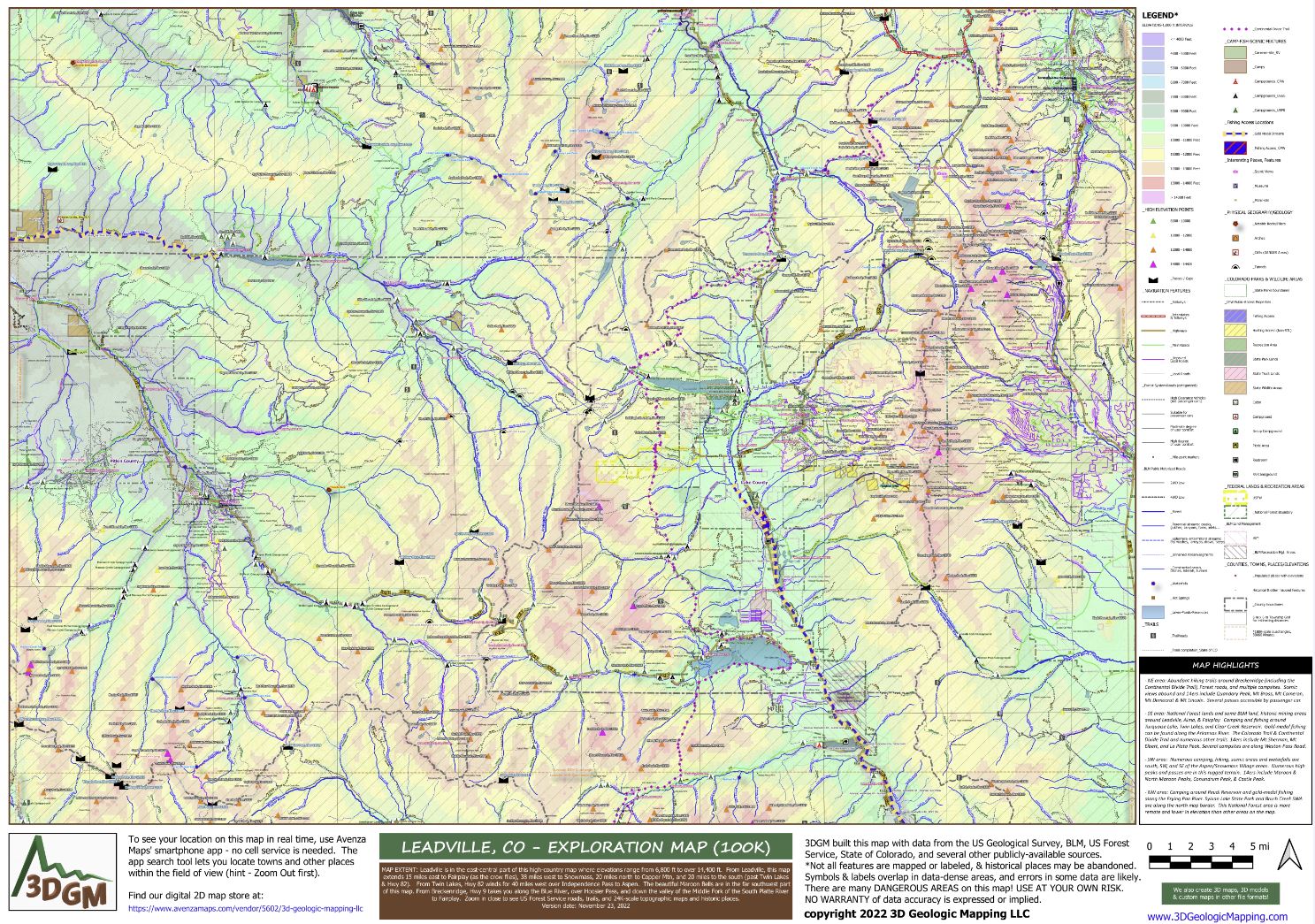
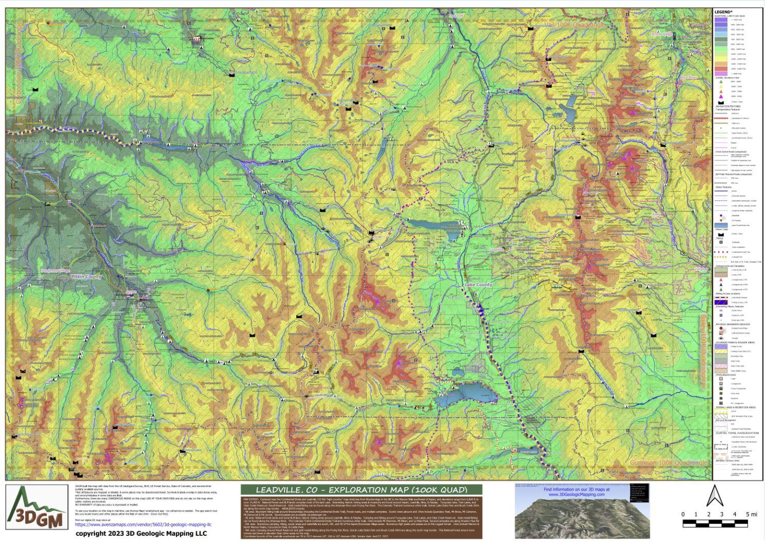
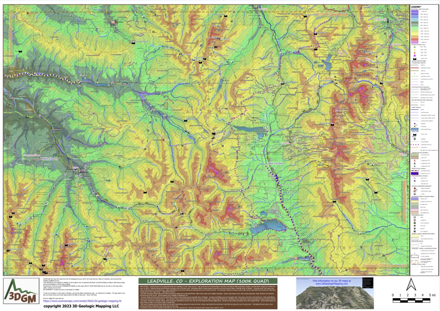
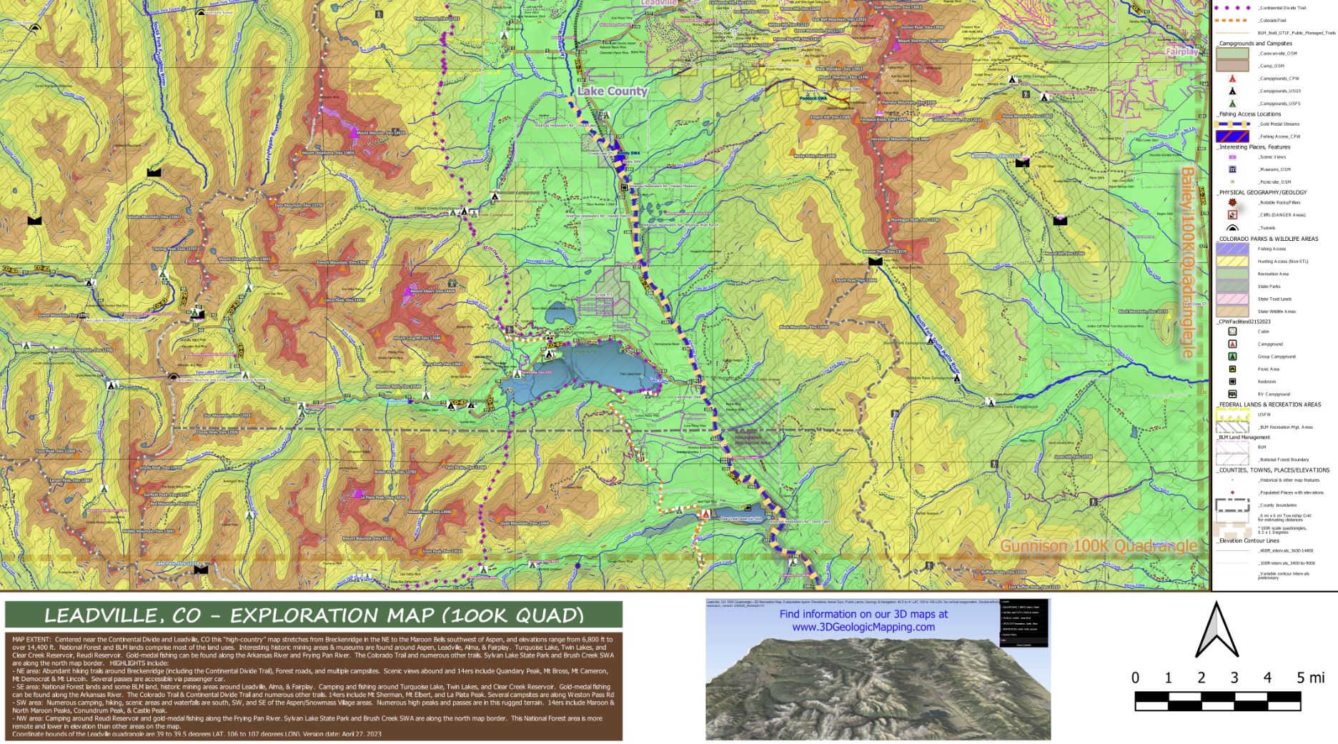
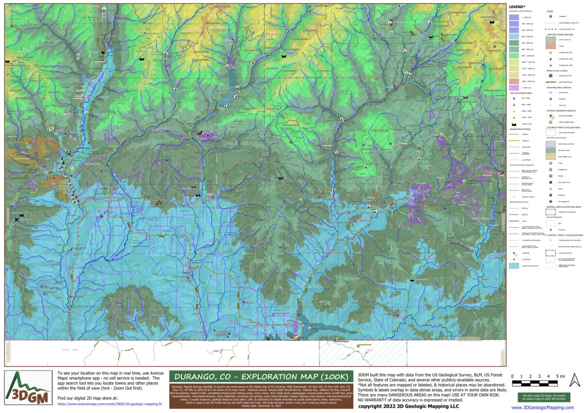
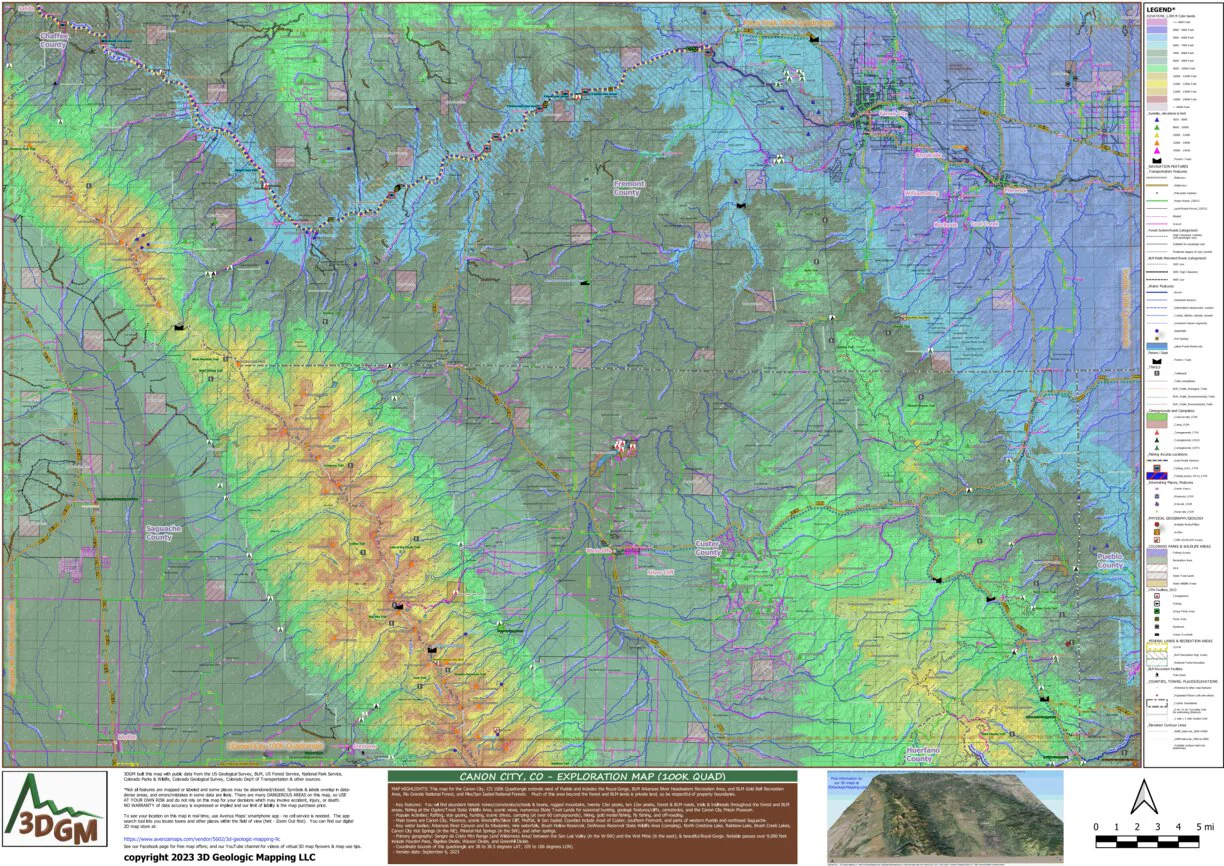
MAP HIGHLIGHTS: This map for the Canon City, CO 100K Quadrangle extends west of Pueblo and includes the Royal Gorge, BLM Arkansas River Headwaters Recreation Area, and BLM Gold Belt Recreation Area, Rio Grande National Forest, and Pike/San Isabel National Forests. Much of this area beyond the forest and BLM lands is private land, so be respectful of property boundaries.
- Key features: You will find abundant historic mines/cemeteries/schools & towns, rugged mountains, twenty 13er peaks, ten 12er peaks, forest & BLM roads, trails & trailheads throughout the forest and BLM areas, fishing at the Ogden/Treat State Wildlife Area, scenic views, numerous State Trust Lands for seasonal hunting, geologic features/cliffs, cemeteries, and the Canon City Prison Museum.
- Popular Activities: Rafting, star gazing, hunting, scenic drives, camping (at over 60 campgrounds), hiking, gold medal fishing, fly fishing, and off-roading.
- Main towns are Canon City, Florence, scenic Westcliffe/Silver Cliff, Moffat, & San Isabel. Counties include most of Custer, southern Fremont, and parts of western Pueblo and northeast Saguache.
- Key water bodies: Arkansas River Canyon and its tributaries, nine waterfalls, Brush Hollow Reservoir, DeWeese Reservoir State Wildlife Area (camping), North Crestone Lake, Rainbow Lake, Brush Creek Lakes, Canon City Hot Springs (in the NE), Mineral Hot Springs (in the SW), and other springs.
- Primary geography: Sangre de Cristo Mtn Range (and Wilderness Area) between the San Luis Valley (in the W-SW) and the Wet Mtns (in the east); & beautiful Royal Gorge. Notable passes over 9,000 feet include Hayden Pass, Bigelow Divide, Wixson Divide, and Greenhill Divide.
- Coordinate bounds of this quadrangle are 38 to 38.5 degrees LAT, 105 to 106 degrees LON).
Check out this flyover video of a 3D map for the Canon City area! https://youtu.be/ww7mnpJ_3h0
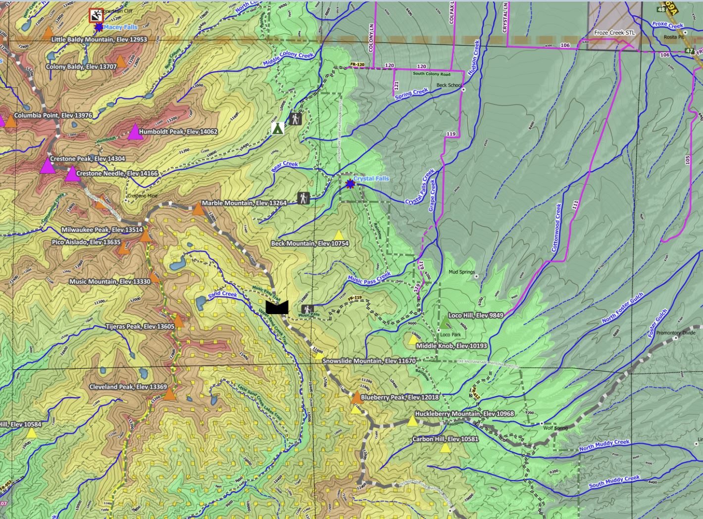
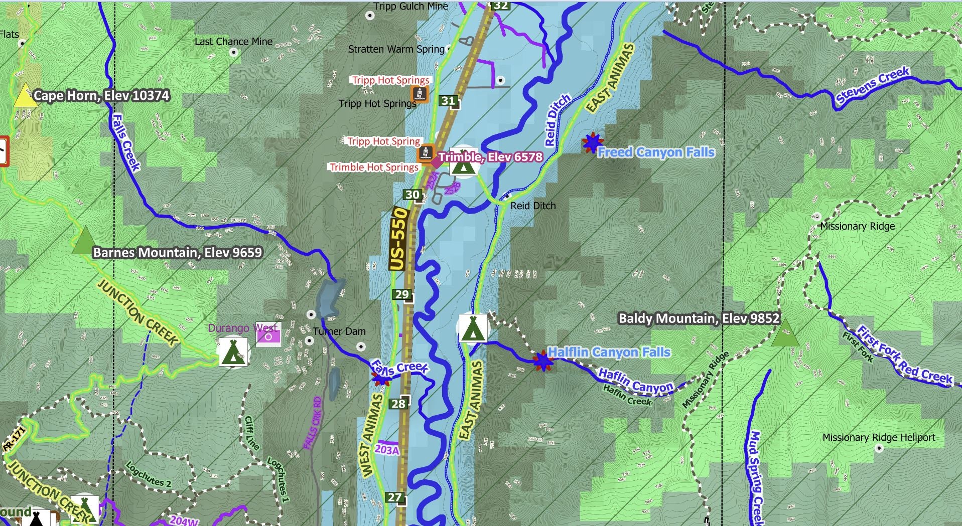
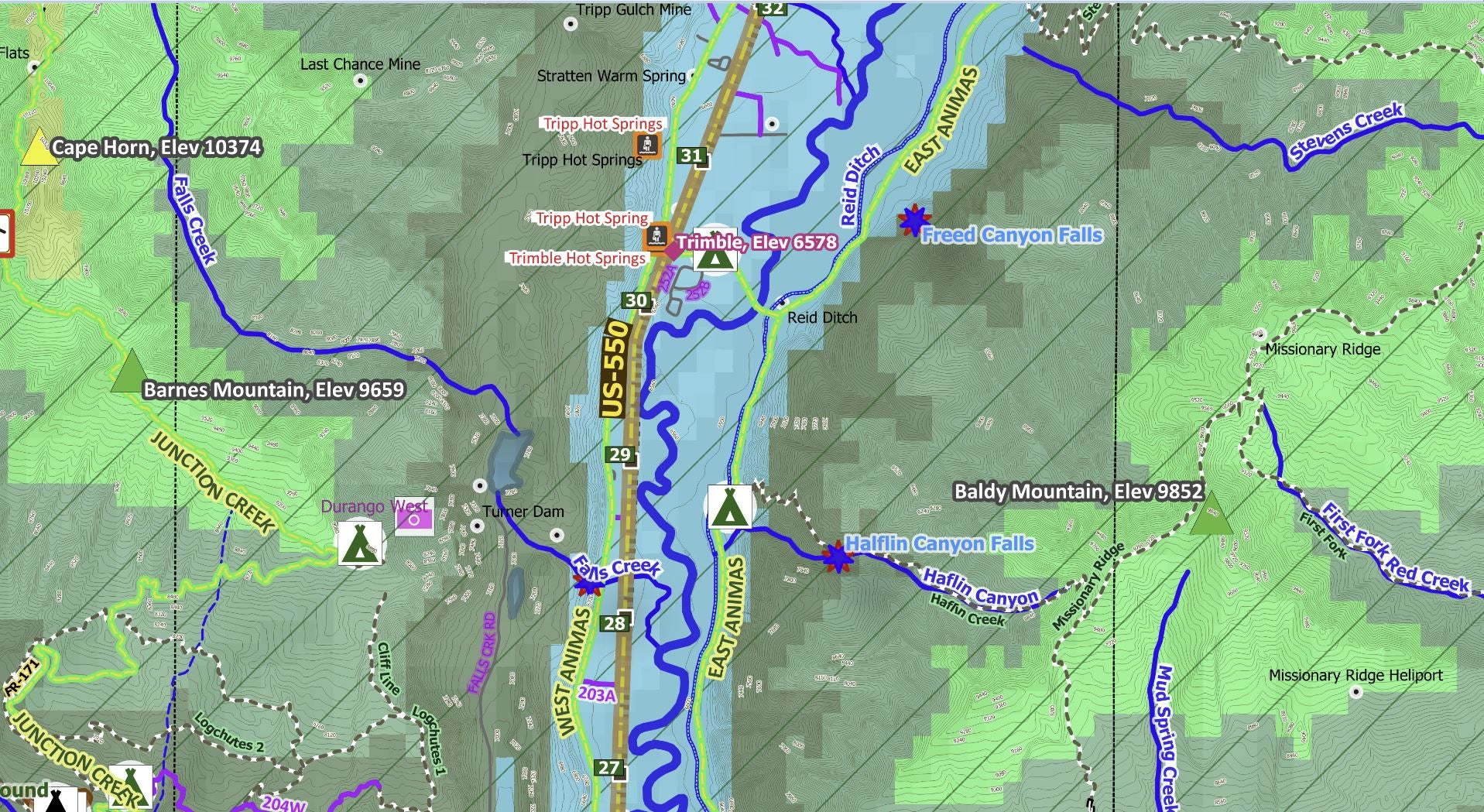
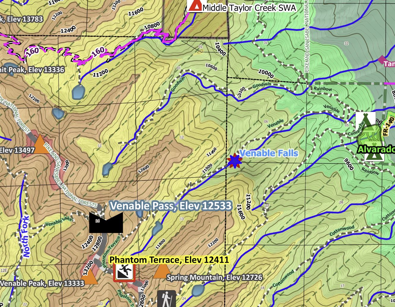
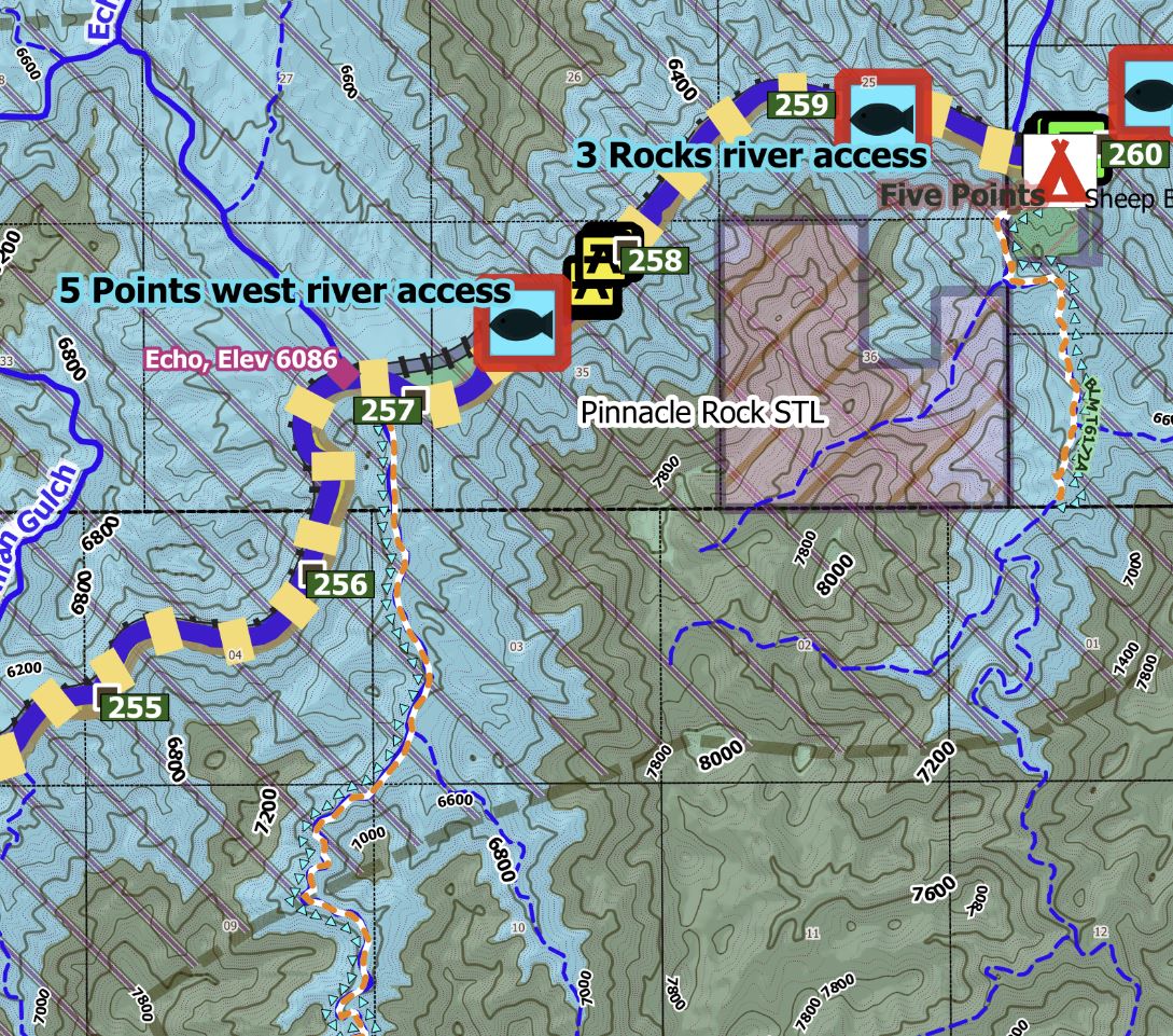
Other map features include scenic byways, RV campgrounds, fishing access areas, place names/elevations, streams/irrigation ditches, color-coded elevation ranges from about 5,300 feet to nearly 14,000K feet, highways with mile markers, and notable amenities on public lands (picnic areas, restrooms).
The Avenza Maps smartphone app lets you see your location as you move around in the map area (without needing cell service), set a location pin to find your way back to your car or campsite, track your path in real-time, and more!
Check out this flyover video of a 3D map for the Canon City area! https://youtu.be/ww7mnpJ_3h0
Product Information
Product Information
Shipping & Returns
Shipping & Returns
Canon City, CO Exploration Map for Sightseeing
Canon City, CO Exploration Map for Sightseeing
MAP HIGHLIGHTS: This map for the Canon City, CO 100K Quadrangle extends west of Pueblo and includes the Royal Gorge, BLM Arkansas River Headwaters Recreation Area, and BLM Gold Belt Recreation Area, Rio Grande National Forest, and Pike/San Isabel National Forests. Much of this area beyond the forest and BLM lands is private land, so be respectful of property boundaries.
- Key features: You will find abundant historic mines/cemeteries/schools & towns, rugged mountains, twenty 13er peaks, ten 12er peaks, forest & BLM roads, trails & trailheads throughout the forest and BLM areas, fishing at the Ogden/Treat State Wildlife Area, scenic views, numerous State Trust Lands for seasonal hunting, geologic features/cliffs, cemeteries, and the Canon City Prison Museum.
- Popular Activities: Rafting, star gazing, hunting, scenic drives, camping (at over 60 campgrounds), hiking, gold medal fishing, fly fishing, and off-roading.
- Main towns are Canon City, Florence, scenic Westcliffe/Silver Cliff, Moffat, & San Isabel. Counties include most of Custer, southern Fremont, and parts of western Pueblo and northeast Saguache.
- Key water bodies: Arkansas River Canyon and its tributaries, nine waterfalls, Brush Hollow Reservoir, DeWeese Reservoir State Wildlife Area (camping), North Crestone Lake, Rainbow Lake, Brush Creek Lakes, Canon City Hot Springs (in the NE), Mineral Hot Springs (in the SW), and other springs.
- Primary geography: Sangre de Cristo Mtn Range (and Wilderness Area) between the San Luis Valley (in the W-SW) and the Wet Mtns (in the east); & beautiful Royal Gorge. Notable passes over 9,000 feet include Hayden Pass, Bigelow Divide, Wixson Divide, and Greenhill Divide.
- Coordinate bounds of this quadrangle are 38 to 38.5 degrees LAT, 105 to 106 degrees LON).
Check out this flyover video of a 3D map for the Canon City area! https://youtu.be/ww7mnpJ_3h0
Other map features include scenic byways, RV campgrounds, fishing access areas, place names/elevations, streams/irrigation ditches, color-coded elevation ranges from about 5,300 feet to nearly 14,000K feet, highways with mile markers, and notable amenities on public lands (picnic areas, restrooms).
The Avenza Maps smartphone app lets you see your location as you move around in the map area (without needing cell service), set a location pin to find your way back to your car or campsite, track your path in real-time, and more!
Check out this flyover video of a 3D map for the Canon City area! https://youtu.be/ww7mnpJ_3h0
$1.75
Original: $4.99
-65%Canon City, CO Exploration Map for Sightseeing—
$4.99
$1.75Product Information
Product Information
Shipping & Returns
Shipping & Returns
Description
MAP HIGHLIGHTS: This map for the Canon City, CO 100K Quadrangle extends west of Pueblo and includes the Royal Gorge, BLM Arkansas River Headwaters Recreation Area, and BLM Gold Belt Recreation Area, Rio Grande National Forest, and Pike/San Isabel National Forests. Much of this area beyond the forest and BLM lands is private land, so be respectful of property boundaries.
- Key features: You will find abundant historic mines/cemeteries/schools & towns, rugged mountains, twenty 13er peaks, ten 12er peaks, forest & BLM roads, trails & trailheads throughout the forest and BLM areas, fishing at the Ogden/Treat State Wildlife Area, scenic views, numerous State Trust Lands for seasonal hunting, geologic features/cliffs, cemeteries, and the Canon City Prison Museum.
- Popular Activities: Rafting, star gazing, hunting, scenic drives, camping (at over 60 campgrounds), hiking, gold medal fishing, fly fishing, and off-roading.
- Main towns are Canon City, Florence, scenic Westcliffe/Silver Cliff, Moffat, & San Isabel. Counties include most of Custer, southern Fremont, and parts of western Pueblo and northeast Saguache.
- Key water bodies: Arkansas River Canyon and its tributaries, nine waterfalls, Brush Hollow Reservoir, DeWeese Reservoir State Wildlife Area (camping), North Crestone Lake, Rainbow Lake, Brush Creek Lakes, Canon City Hot Springs (in the NE), Mineral Hot Springs (in the SW), and other springs.
- Primary geography: Sangre de Cristo Mtn Range (and Wilderness Area) between the San Luis Valley (in the W-SW) and the Wet Mtns (in the east); & beautiful Royal Gorge. Notable passes over 9,000 feet include Hayden Pass, Bigelow Divide, Wixson Divide, and Greenhill Divide.
- Coordinate bounds of this quadrangle are 38 to 38.5 degrees LAT, 105 to 106 degrees LON).
Check out this flyover video of a 3D map for the Canon City area! https://youtu.be/ww7mnpJ_3h0
Other map features include scenic byways, RV campgrounds, fishing access areas, place names/elevations, streams/irrigation ditches, color-coded elevation ranges from about 5,300 feet to nearly 14,000K feet, highways with mile markers, and notable amenities on public lands (picnic areas, restrooms).
The Avenza Maps smartphone app lets you see your location as you move around in the map area (without needing cell service), set a location pin to find your way back to your car or campsite, track your path in real-time, and more!
Check out this flyover video of a 3D map for the Canon City area! https://youtu.be/ww7mnpJ_3h0