🎉 Up to 70% Off Selected ItemsShop Sale
Castle Rock Exploration Map for Sightseeing
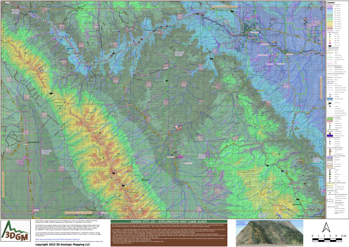
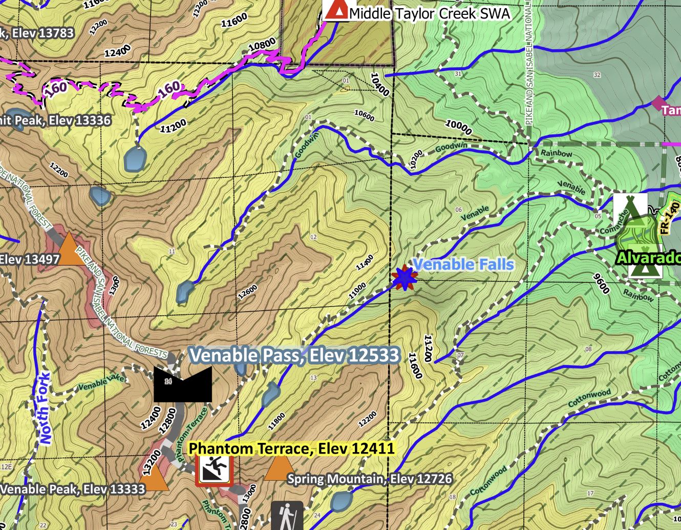
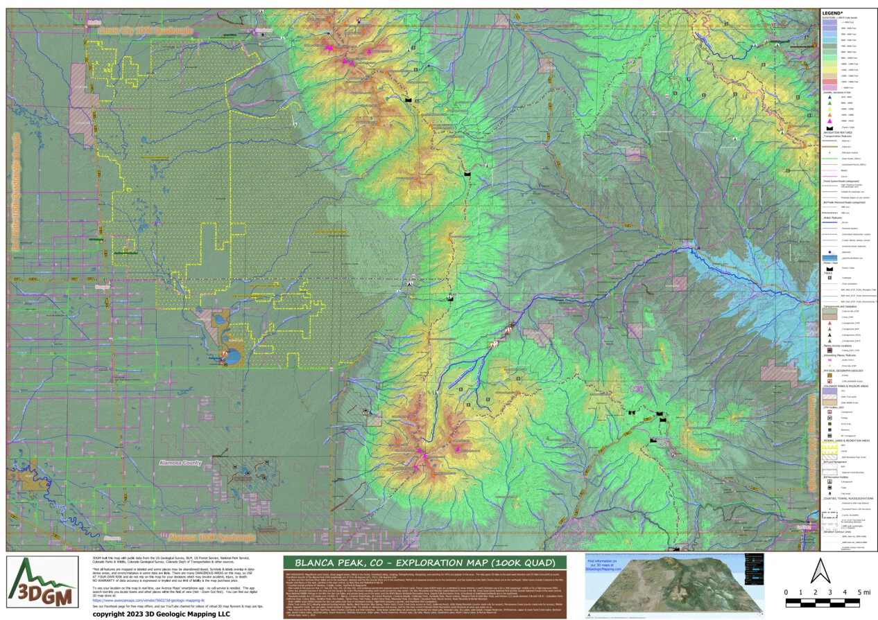
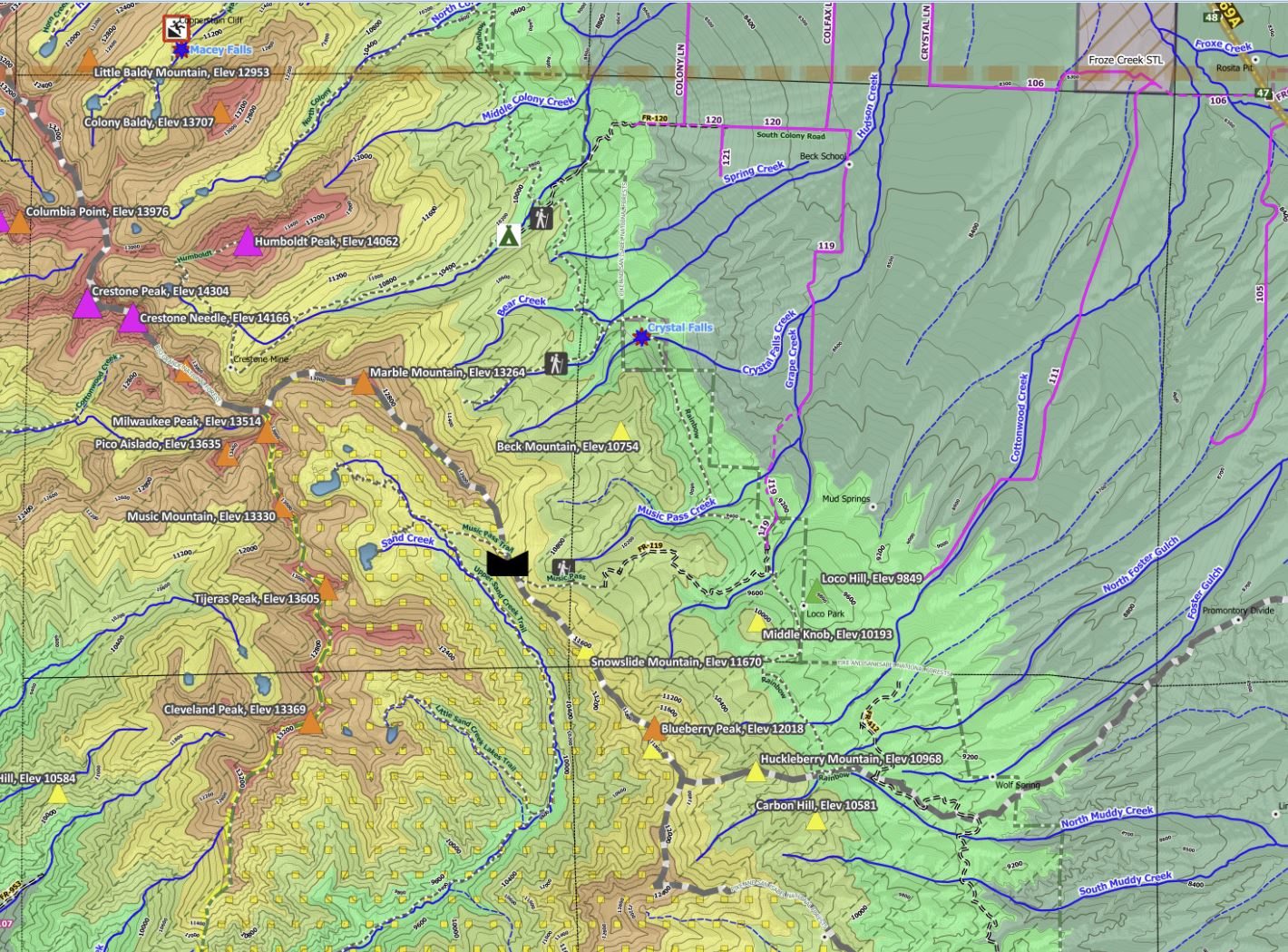
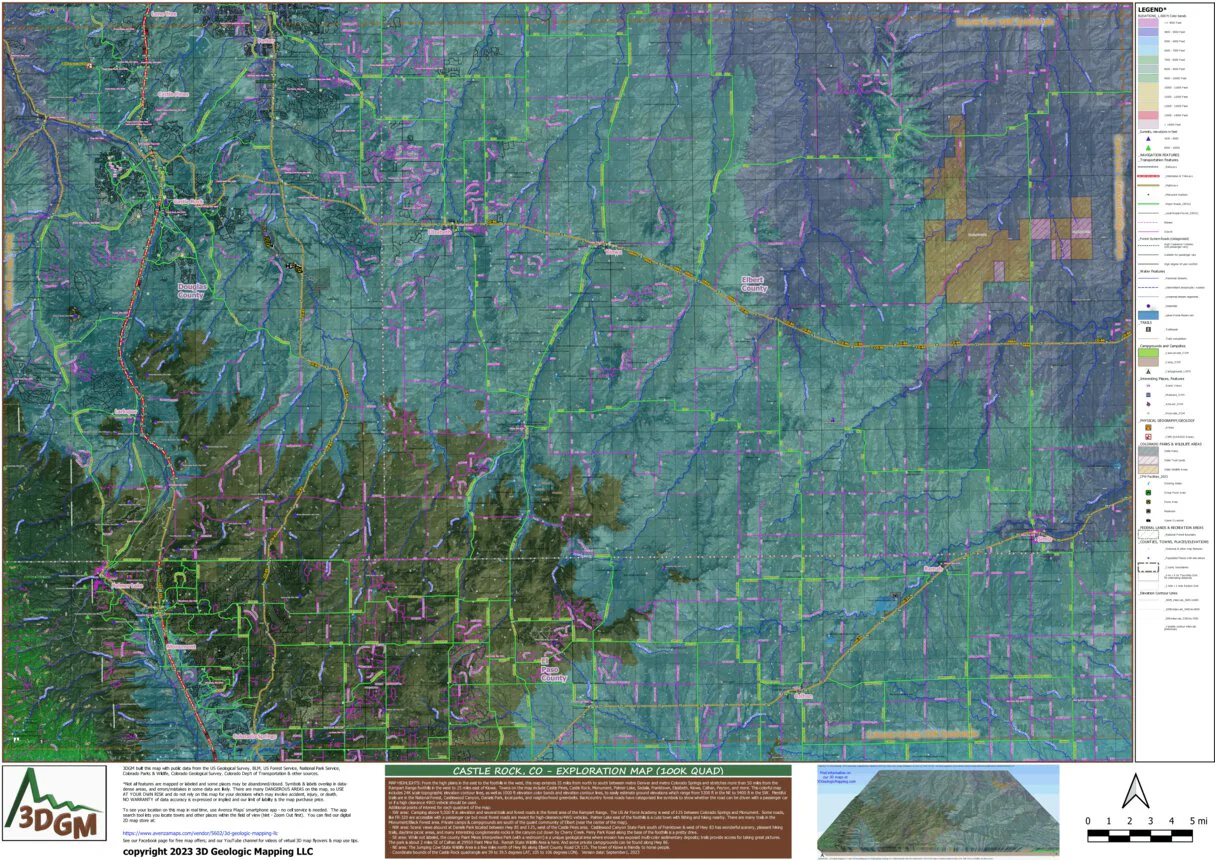
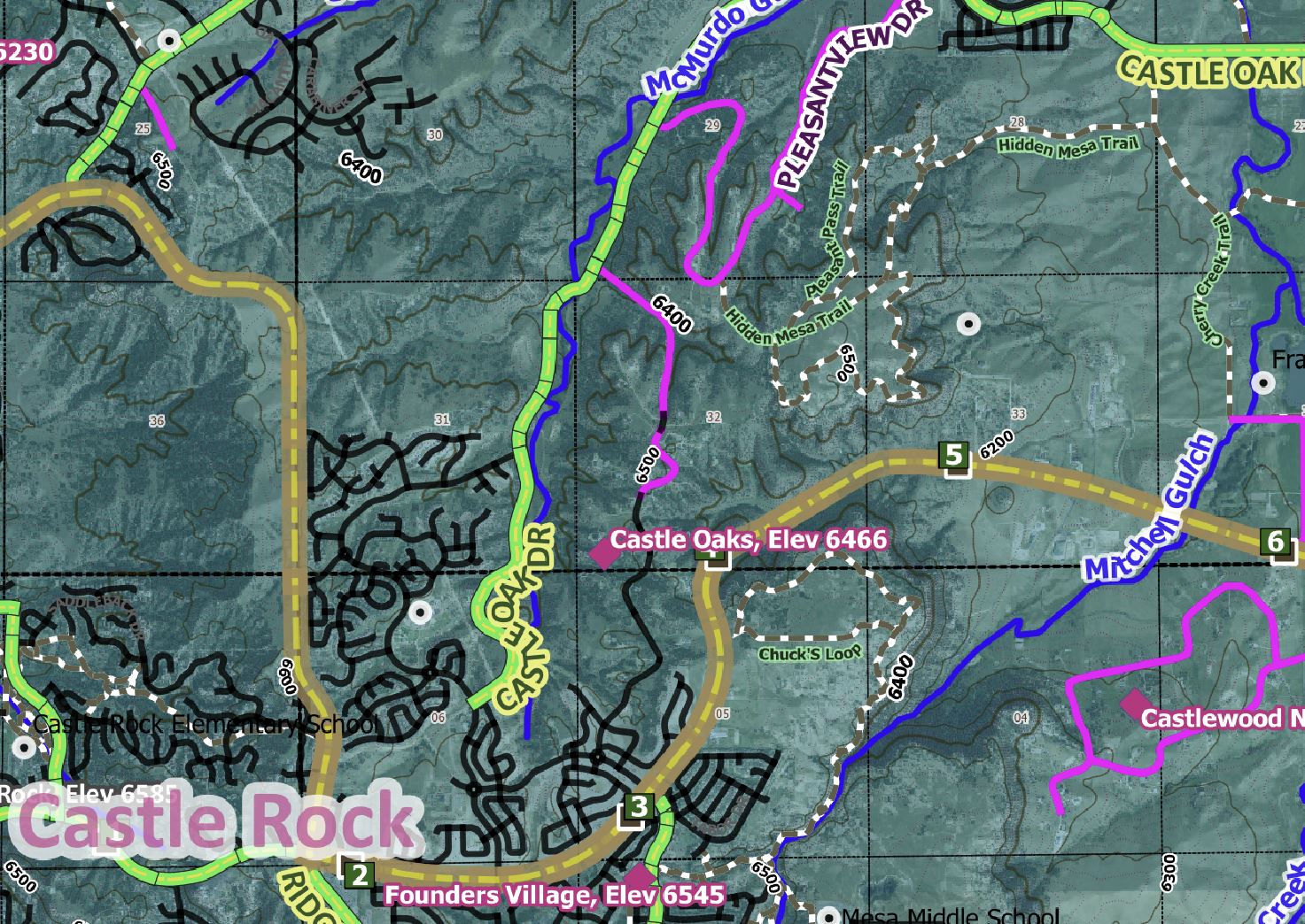
From the high plains in the east to the foothills in the west, this map extends 35 miles from north to south between metro Denver and metro Colorado Springs, and stretches more than 50 miles from the Rampart Range foothills in the west to 25 miles east of Kiowa. Towns on the map include Castle Pines, Castle Rock, Monument, Palmer Lake, Sedalia, Franktown, Elizabeth, Kiowa, Calhan, Peyton, and more. This colorful map includes 24K scale topographic elevation contour lines, as well as 1000 ft elevation color bands and elevation contour lines, to easily estimate ground elevations which range from 5300 ft in the NE to 9400 ft in the SW. Plentiful trails are in the National Forest, Castlewood Canyon, Daniels Park, local parks, and neighborhood greenbelts. Backcountry forest roads have categorized line symbols to show whether the road can be driven with a passenger car or if a high clearance 4WD vehicle should be used.
Our “Map Highlights” list many points of interest for each quadrant of the map:
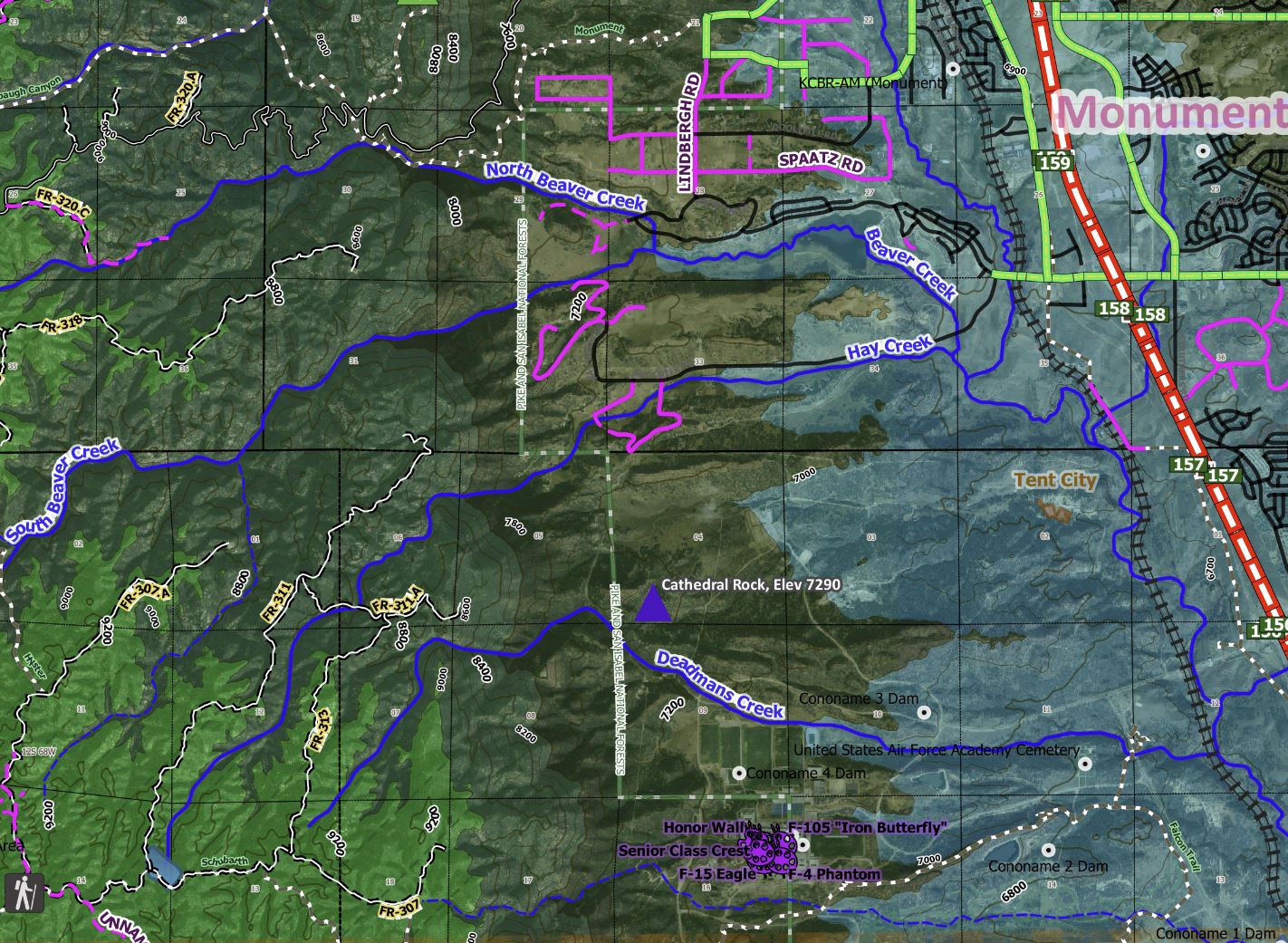
- SW area: Camping above 9,000 ft in elevation and several trails and forest roads in the forest area of the Rampart Range. The US Air Force Academy is west of I-25 between Colorado Springs and Monument. Some roads, like FR-320 are accessible with a passenger car but most forest roads are meant for high-clearance/4WD vehicles. Palmer Lake east of the foothills is a cute town with fishing and hiking nearby. There are many trails in the Monument/Black Forest area. Private camps & campgrounds are south of the quaint community of Elbert (near the center of the map).
- NW area: Scenic views abound at Daniels Park located between Hwy 85 and I-25, west of the Castle Pines area. Castlewood Canyon State Park south of Franktown & west of Hwy 83 has wonderful scenery, pleasant hiking trails, daytime picnic areas, and many interesting conglomerate rocks in the canyon cut down by Cherry Creek. Perry Park Road along the base of the foothills is a pretty drive.
- SE area: While not labeled, the county Paint Mines Interpretive Park (with a restroom!) is a unique geological area where erosion has exposed multi-color sedimentary deposits; trails provide access for taking great pictures. The park is about 2 miles SE of Calhan at 29950 Paint Mine Rd. Ramah State Wildlife Area is here. And some private campgrounds can be found along Hwy 86.
- NE area: The Jumping Cow State Wildlife Area is a few miles north of Hwy 86 along Elbert County Road CR 125. The town of Kiowa is friendly to horse people.
Coordinate bounds of the Castle Rock quadrangle are 39 to 39.5 degrees LAT, 105 to 106 degrees LON).
Other map features include trailheads, campsites/campgrounds, scenic views, State Parks/other State lands; names and elevations peaks & places; lakes/streams, a waterfall, geologic features (arches, cliffs), color-coded elevation ranges, interstates/highways with mile markers, main/secondary/local roads, a museum in Castle Rock, artworks, and notable amenities on public lands (picnic areas, restrooms).
The Avenza Maps smartphone app lets you see your location as you move around in the map area, set a location pin to find your way back to your car or campsite, track your path in real-time, and more!
Product Information
Product Information
Shipping & Returns
Shipping & Returns
Castle Rock Exploration Map for Sightseeing
Castle Rock Exploration Map for Sightseeing
From the high plains in the east to the foothills in the west, this map extends 35 miles from north to south between metro Denver and metro Colorado Springs, and stretches more than 50 miles from the Rampart Range foothills in the west to 25 miles east of Kiowa. Towns on the map include Castle Pines, Castle Rock, Monument, Palmer Lake, Sedalia, Franktown, Elizabeth, Kiowa, Calhan, Peyton, and more. This colorful map includes 24K scale topographic elevation contour lines, as well as 1000 ft elevation color bands and elevation contour lines, to easily estimate ground elevations which range from 5300 ft in the NE to 9400 ft in the SW. Plentiful trails are in the National Forest, Castlewood Canyon, Daniels Park, local parks, and neighborhood greenbelts. Backcountry forest roads have categorized line symbols to show whether the road can be driven with a passenger car or if a high clearance 4WD vehicle should be used.
Our “Map Highlights” list many points of interest for each quadrant of the map:
- SW area: Camping above 9,000 ft in elevation and several trails and forest roads in the forest area of the Rampart Range. The US Air Force Academy is west of I-25 between Colorado Springs and Monument. Some roads, like FR-320 are accessible with a passenger car but most forest roads are meant for high-clearance/4WD vehicles. Palmer Lake east of the foothills is a cute town with fishing and hiking nearby. There are many trails in the Monument/Black Forest area. Private camps & campgrounds are south of the quaint community of Elbert (near the center of the map).
- NW area: Scenic views abound at Daniels Park located between Hwy 85 and I-25, west of the Castle Pines area. Castlewood Canyon State Park south of Franktown & west of Hwy 83 has wonderful scenery, pleasant hiking trails, daytime picnic areas, and many interesting conglomerate rocks in the canyon cut down by Cherry Creek. Perry Park Road along the base of the foothills is a pretty drive.
- SE area: While not labeled, the county Paint Mines Interpretive Park (with a restroom!) is a unique geological area where erosion has exposed multi-color sedimentary deposits; trails provide access for taking great pictures. The park is about 2 miles SE of Calhan at 29950 Paint Mine Rd. Ramah State Wildlife Area is here. And some private campgrounds can be found along Hwy 86.
- NE area: The Jumping Cow State Wildlife Area is a few miles north of Hwy 86 along Elbert County Road CR 125. The town of Kiowa is friendly to horse people.
Coordinate bounds of the Castle Rock quadrangle are 39 to 39.5 degrees LAT, 105 to 106 degrees LON).
Other map features include trailheads, campsites/campgrounds, scenic views, State Parks/other State lands; names and elevations peaks & places; lakes/streams, a waterfall, geologic features (arches, cliffs), color-coded elevation ranges, interstates/highways with mile markers, main/secondary/local roads, a museum in Castle Rock, artworks, and notable amenities on public lands (picnic areas, restrooms).
The Avenza Maps smartphone app lets you see your location as you move around in the map area, set a location pin to find your way back to your car or campsite, track your path in real-time, and more!
$1.75
Original: $4.99
-65%Castle Rock Exploration Map for Sightseeing—
$4.99
$1.75Product Information
Product Information
Shipping & Returns
Shipping & Returns
Description
From the high plains in the east to the foothills in the west, this map extends 35 miles from north to south between metro Denver and metro Colorado Springs, and stretches more than 50 miles from the Rampart Range foothills in the west to 25 miles east of Kiowa. Towns on the map include Castle Pines, Castle Rock, Monument, Palmer Lake, Sedalia, Franktown, Elizabeth, Kiowa, Calhan, Peyton, and more. This colorful map includes 24K scale topographic elevation contour lines, as well as 1000 ft elevation color bands and elevation contour lines, to easily estimate ground elevations which range from 5300 ft in the NE to 9400 ft in the SW. Plentiful trails are in the National Forest, Castlewood Canyon, Daniels Park, local parks, and neighborhood greenbelts. Backcountry forest roads have categorized line symbols to show whether the road can be driven with a passenger car or if a high clearance 4WD vehicle should be used.
Our “Map Highlights” list many points of interest for each quadrant of the map:
- SW area: Camping above 9,000 ft in elevation and several trails and forest roads in the forest area of the Rampart Range. The US Air Force Academy is west of I-25 between Colorado Springs and Monument. Some roads, like FR-320 are accessible with a passenger car but most forest roads are meant for high-clearance/4WD vehicles. Palmer Lake east of the foothills is a cute town with fishing and hiking nearby. There are many trails in the Monument/Black Forest area. Private camps & campgrounds are south of the quaint community of Elbert (near the center of the map).
- NW area: Scenic views abound at Daniels Park located between Hwy 85 and I-25, west of the Castle Pines area. Castlewood Canyon State Park south of Franktown & west of Hwy 83 has wonderful scenery, pleasant hiking trails, daytime picnic areas, and many interesting conglomerate rocks in the canyon cut down by Cherry Creek. Perry Park Road along the base of the foothills is a pretty drive.
- SE area: While not labeled, the county Paint Mines Interpretive Park (with a restroom!) is a unique geological area where erosion has exposed multi-color sedimentary deposits; trails provide access for taking great pictures. The park is about 2 miles SE of Calhan at 29950 Paint Mine Rd. Ramah State Wildlife Area is here. And some private campgrounds can be found along Hwy 86.
- NE area: The Jumping Cow State Wildlife Area is a few miles north of Hwy 86 along Elbert County Road CR 125. The town of Kiowa is friendly to horse people.
Coordinate bounds of the Castle Rock quadrangle are 39 to 39.5 degrees LAT, 105 to 106 degrees LON).
Other map features include trailheads, campsites/campgrounds, scenic views, State Parks/other State lands; names and elevations peaks & places; lakes/streams, a waterfall, geologic features (arches, cliffs), color-coded elevation ranges, interstates/highways with mile markers, main/secondary/local roads, a museum in Castle Rock, artworks, and notable amenities on public lands (picnic areas, restrooms).
The Avenza Maps smartphone app lets you see your location as you move around in the map area, set a location pin to find your way back to your car or campsite, track your path in real-time, and more!