🎉 Up to 70% Off Selected ItemsShop Sale
Blanca Peak, CO Exploration Map for Sightseeing
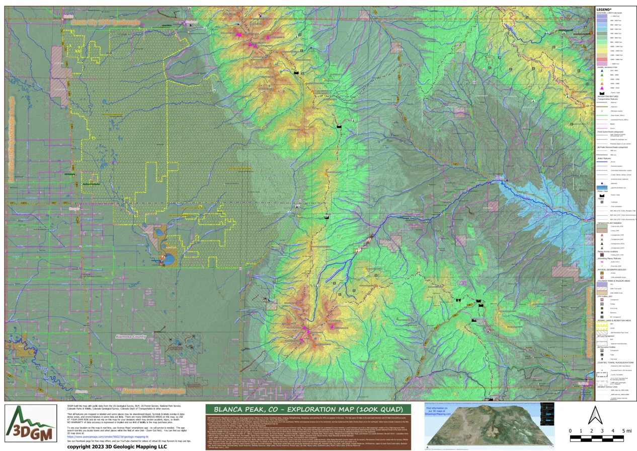
HIGHLIGHTS IN OUR MAP's TITLE BAR: Magnificent sand dunes, steep jagged peaks, hiking in the forest, horseback riding, camping, fishing/hunting, stargazing, and watching for UFOs are popular in this area. The map spans 55 miles in the east-west direction and 35 miles from north to south. Coordinate bounds of the Blanca Peak 100K quadrangle are 37.5 to 38 degrees LAT, 105 to 106 degrees LON.
- La Veta and the Huerfano River Valley are in the southeast; Alamosa and the Rio Grande River are in the southwest; Moffat and seasonal arroyos are in the northwest; and San Isabel and the Saint Charles River are in the northeast. Other towns include Crestone in the NW, Hooper and Mosca in the west, Gardner in the east central, La Veta Pass and Muleshoe in the SE.
- Counties include portions of Alamosa, Costilla, Custer, Huerfano & Saguache.
- Main roads in this area are Hwy 17, Hwy 69, Hwy 165, US Hwy 160, and numerous paved and unpaved county & forest roads. Forest roads & BLM roads are symbolized to show whether a road's intended use is for a 2WD passenger vehicle or for a high-clearance 4WD.
- Other key physical features in the area are the Sangre De Cristo Mountains trending north-south across the map center; the Wet Mountains and Pike/San Isabel National Forests in the NE, Great Sand Dunes National Park and Rio Grande National Forest in the west-central; Baca National Wildlife Refuge in the NW; the San Luis Valley and private lands are in the west; and the BLM's Blanca Wetlands Recreation Area, Zapata Falls Recreation Area, & hundreds of small lakes/wetlands are in the southwest.
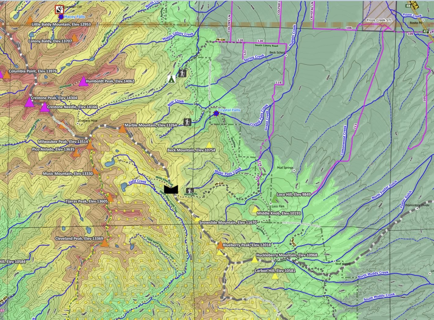
- Mountains include ten (10) peaks over 14,000+ ft -- Blanca, Crestone Peak/Peaks, Kit Carson Mountain, Crestone Needle, Challenger Point, Humboldt Peak, Mount Lindsey, Ellington Point & Little Bear Peak; and thirteen (13) peaks between 13K and 14K ft -- Columbian Point, California Peak, Colony Baldy, Hamilton Peak, Pico Aislado, Tijeras Peak, Twin Peaks, Broken Hand Peak, Milwaukee Peak, Iron Nipple, Cleveland Peak, Mount Herard, Music Mountain & Marble Mountain.
- State wildlife areas (SWA) include the San Luis Lakes (only foot or horseback access), Higel SWA (requires a permit), and Huerfano SWA (campsites).
- State Trust Lands (STL) allowing seasonal hunting include: Badito, Black Mountain, Blue Spring, Foster Gulch, Froze Creek (only access by foot), Guillermo Ranch, Little Sheep Mountain (county roads only for access), Manzanares Creek (county roads only for access), Mishak Lakes, Saguache Creek, San Luis Lakes, South Gardner & Zapata Falls. For details on allowed uses and access, look for the most current Colorado State Recreation Lands Brochure at www.cpw.state.co.us.
- Main rivers are the Rio Grande, Huerfano, Saint Charles, Cucharas and their branches. Some larger named lakes not previously mentioned are Head Lake, Weisman Lake, Dry Lakes, Lake Isabel, Creager Reservoir, JM Reserovir, Upper & Lower Sand Creek Lakes, Bachelor Lake, South Colony Lakes, Winchell Lakes, Roach Reservoir, McKinley Reservoir, Dollar Lakes, Murray Reservoir, Pioneer Lake, Lily Lake, Macey Lakes, Deadmans Lakes, North Colony Lakes, & Murray Reservoir.
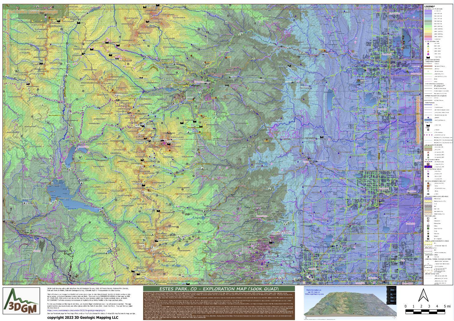
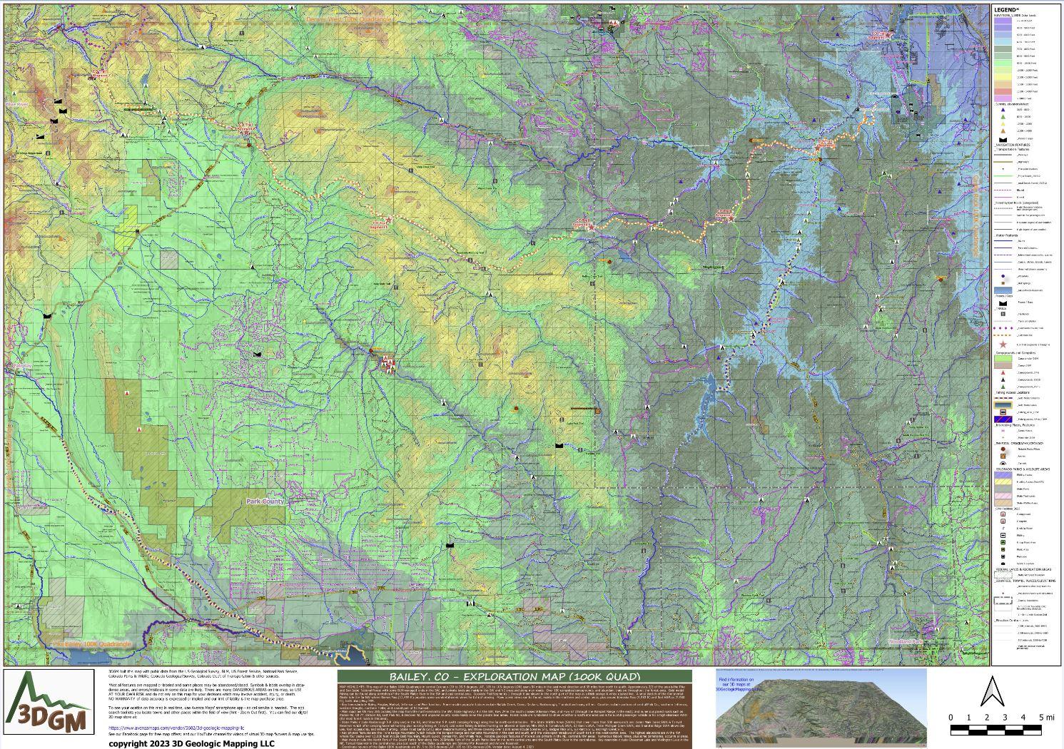
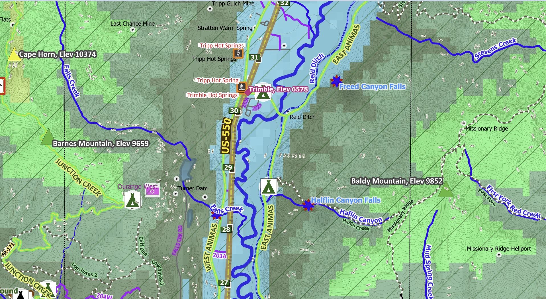
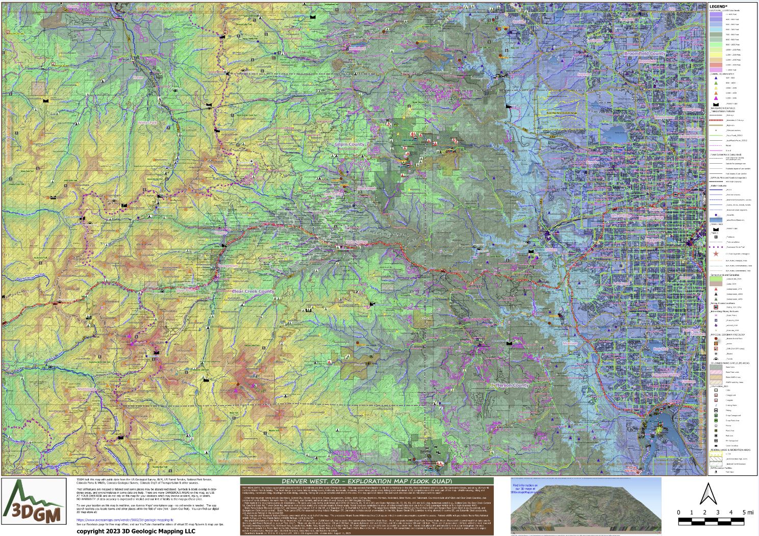
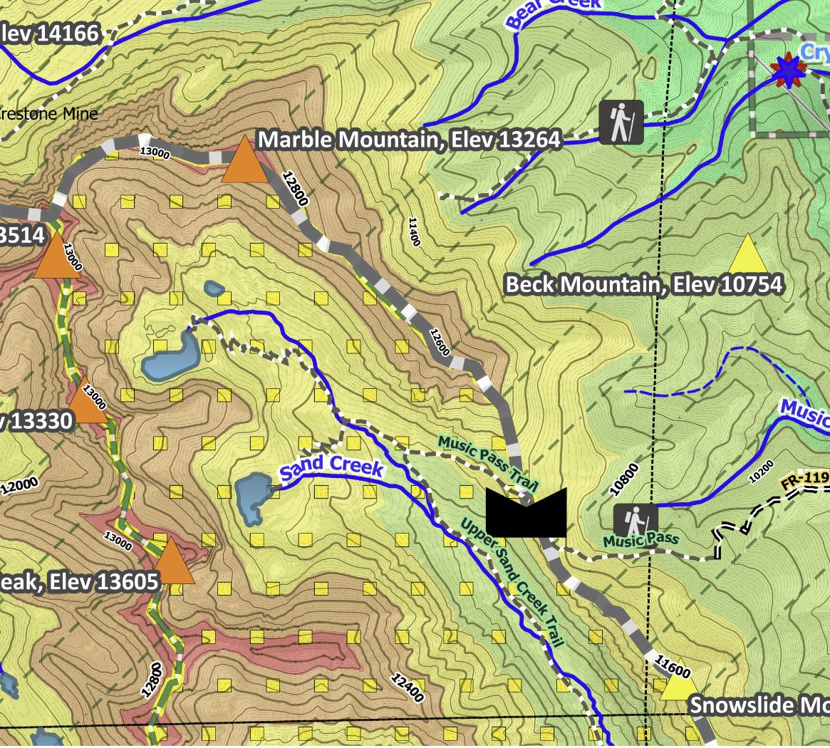
Other map features you'll like include trails/trailheads, campsites/RV campgrounds, fishing areas, scenic views, passes/gaps, place names/elevations, streams, waterfalls, interesting geologic features (cliffs & arches), color-coded elevation ranges from about 6K to over 14K feet, highways with mile markers, waterfalls, and notable amenities on public lands (picnic areas, restrooms).
The Avenza Maps smartphone app lets you see your location as you move around in the map area (without needing cell service), set a location pin to find your way back to your car or campsite, track your path in real-time, and more!
Product Information
Product Information
Shipping & Returns
Shipping & Returns
Blanca Peak, CO Exploration Map for Sightseeing
Blanca Peak, CO Exploration Map for Sightseeing
HIGHLIGHTS IN OUR MAP's TITLE BAR: Magnificent sand dunes, steep jagged peaks, hiking in the forest, horseback riding, camping, fishing/hunting, stargazing, and watching for UFOs are popular in this area. The map spans 55 miles in the east-west direction and 35 miles from north to south. Coordinate bounds of the Blanca Peak 100K quadrangle are 37.5 to 38 degrees LAT, 105 to 106 degrees LON.
- La Veta and the Huerfano River Valley are in the southeast; Alamosa and the Rio Grande River are in the southwest; Moffat and seasonal arroyos are in the northwest; and San Isabel and the Saint Charles River are in the northeast. Other towns include Crestone in the NW, Hooper and Mosca in the west, Gardner in the east central, La Veta Pass and Muleshoe in the SE.
- Counties include portions of Alamosa, Costilla, Custer, Huerfano & Saguache.
- Main roads in this area are Hwy 17, Hwy 69, Hwy 165, US Hwy 160, and numerous paved and unpaved county & forest roads. Forest roads & BLM roads are symbolized to show whether a road's intended use is for a 2WD passenger vehicle or for a high-clearance 4WD.
- Other key physical features in the area are the Sangre De Cristo Mountains trending north-south across the map center; the Wet Mountains and Pike/San Isabel National Forests in the NE, Great Sand Dunes National Park and Rio Grande National Forest in the west-central; Baca National Wildlife Refuge in the NW; the San Luis Valley and private lands are in the west; and the BLM's Blanca Wetlands Recreation Area, Zapata Falls Recreation Area, & hundreds of small lakes/wetlands are in the southwest.
- Mountains include ten (10) peaks over 14,000+ ft -- Blanca, Crestone Peak/Peaks, Kit Carson Mountain, Crestone Needle, Challenger Point, Humboldt Peak, Mount Lindsey, Ellington Point & Little Bear Peak; and thirteen (13) peaks between 13K and 14K ft -- Columbian Point, California Peak, Colony Baldy, Hamilton Peak, Pico Aislado, Tijeras Peak, Twin Peaks, Broken Hand Peak, Milwaukee Peak, Iron Nipple, Cleveland Peak, Mount Herard, Music Mountain & Marble Mountain.
- State wildlife areas (SWA) include the San Luis Lakes (only foot or horseback access), Higel SWA (requires a permit), and Huerfano SWA (campsites).
- State Trust Lands (STL) allowing seasonal hunting include: Badito, Black Mountain, Blue Spring, Foster Gulch, Froze Creek (only access by foot), Guillermo Ranch, Little Sheep Mountain (county roads only for access), Manzanares Creek (county roads only for access), Mishak Lakes, Saguache Creek, San Luis Lakes, South Gardner & Zapata Falls. For details on allowed uses and access, look for the most current Colorado State Recreation Lands Brochure at www.cpw.state.co.us.
- Main rivers are the Rio Grande, Huerfano, Saint Charles, Cucharas and their branches. Some larger named lakes not previously mentioned are Head Lake, Weisman Lake, Dry Lakes, Lake Isabel, Creager Reservoir, JM Reserovir, Upper & Lower Sand Creek Lakes, Bachelor Lake, South Colony Lakes, Winchell Lakes, Roach Reservoir, McKinley Reservoir, Dollar Lakes, Murray Reservoir, Pioneer Lake, Lily Lake, Macey Lakes, Deadmans Lakes, North Colony Lakes, & Murray Reservoir.
Other map features you'll like include trails/trailheads, campsites/RV campgrounds, fishing areas, scenic views, passes/gaps, place names/elevations, streams, waterfalls, interesting geologic features (cliffs & arches), color-coded elevation ranges from about 6K to over 14K feet, highways with mile markers, waterfalls, and notable amenities on public lands (picnic areas, restrooms).
The Avenza Maps smartphone app lets you see your location as you move around in the map area (without needing cell service), set a location pin to find your way back to your car or campsite, track your path in real-time, and more!
$1.75
Original: $4.99
-65%Blanca Peak, CO Exploration Map for Sightseeing—
$4.99
$1.75Product Information
Product Information
Shipping & Returns
Shipping & Returns
Description
HIGHLIGHTS IN OUR MAP's TITLE BAR: Magnificent sand dunes, steep jagged peaks, hiking in the forest, horseback riding, camping, fishing/hunting, stargazing, and watching for UFOs are popular in this area. The map spans 55 miles in the east-west direction and 35 miles from north to south. Coordinate bounds of the Blanca Peak 100K quadrangle are 37.5 to 38 degrees LAT, 105 to 106 degrees LON.
- La Veta and the Huerfano River Valley are in the southeast; Alamosa and the Rio Grande River are in the southwest; Moffat and seasonal arroyos are in the northwest; and San Isabel and the Saint Charles River are in the northeast. Other towns include Crestone in the NW, Hooper and Mosca in the west, Gardner in the east central, La Veta Pass and Muleshoe in the SE.
- Counties include portions of Alamosa, Costilla, Custer, Huerfano & Saguache.
- Main roads in this area are Hwy 17, Hwy 69, Hwy 165, US Hwy 160, and numerous paved and unpaved county & forest roads. Forest roads & BLM roads are symbolized to show whether a road's intended use is for a 2WD passenger vehicle or for a high-clearance 4WD.
- Other key physical features in the area are the Sangre De Cristo Mountains trending north-south across the map center; the Wet Mountains and Pike/San Isabel National Forests in the NE, Great Sand Dunes National Park and Rio Grande National Forest in the west-central; Baca National Wildlife Refuge in the NW; the San Luis Valley and private lands are in the west; and the BLM's Blanca Wetlands Recreation Area, Zapata Falls Recreation Area, & hundreds of small lakes/wetlands are in the southwest.
- Mountains include ten (10) peaks over 14,000+ ft -- Blanca, Crestone Peak/Peaks, Kit Carson Mountain, Crestone Needle, Challenger Point, Humboldt Peak, Mount Lindsey, Ellington Point & Little Bear Peak; and thirteen (13) peaks between 13K and 14K ft -- Columbian Point, California Peak, Colony Baldy, Hamilton Peak, Pico Aislado, Tijeras Peak, Twin Peaks, Broken Hand Peak, Milwaukee Peak, Iron Nipple, Cleveland Peak, Mount Herard, Music Mountain & Marble Mountain.
- State wildlife areas (SWA) include the San Luis Lakes (only foot or horseback access), Higel SWA (requires a permit), and Huerfano SWA (campsites).
- State Trust Lands (STL) allowing seasonal hunting include: Badito, Black Mountain, Blue Spring, Foster Gulch, Froze Creek (only access by foot), Guillermo Ranch, Little Sheep Mountain (county roads only for access), Manzanares Creek (county roads only for access), Mishak Lakes, Saguache Creek, San Luis Lakes, South Gardner & Zapata Falls. For details on allowed uses and access, look for the most current Colorado State Recreation Lands Brochure at www.cpw.state.co.us.
- Main rivers are the Rio Grande, Huerfano, Saint Charles, Cucharas and their branches. Some larger named lakes not previously mentioned are Head Lake, Weisman Lake, Dry Lakes, Lake Isabel, Creager Reservoir, JM Reserovir, Upper & Lower Sand Creek Lakes, Bachelor Lake, South Colony Lakes, Winchell Lakes, Roach Reservoir, McKinley Reservoir, Dollar Lakes, Murray Reservoir, Pioneer Lake, Lily Lake, Macey Lakes, Deadmans Lakes, North Colony Lakes, & Murray Reservoir.
Other map features you'll like include trails/trailheads, campsites/RV campgrounds, fishing areas, scenic views, passes/gaps, place names/elevations, streams, waterfalls, interesting geologic features (cliffs & arches), color-coded elevation ranges from about 6K to over 14K feet, highways with mile markers, waterfalls, and notable amenities on public lands (picnic areas, restrooms).
The Avenza Maps smartphone app lets you see your location as you move around in the map area (without needing cell service), set a location pin to find your way back to your car or campsite, track your path in real-time, and more!