🎉 Up to 70% Off Selected ItemsShop Sale
Durango, CO Exploration Map for Sightseeing
This is a one-time purchase. For buyers of this current map, a free updated version will soon be available! You can find new places to explore, be responsible, and stay safe when using this map.
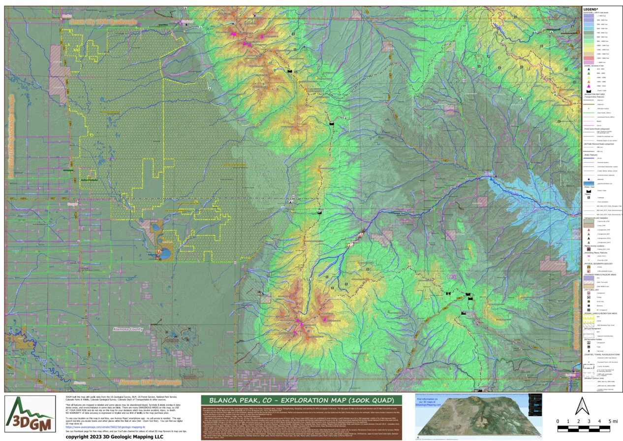
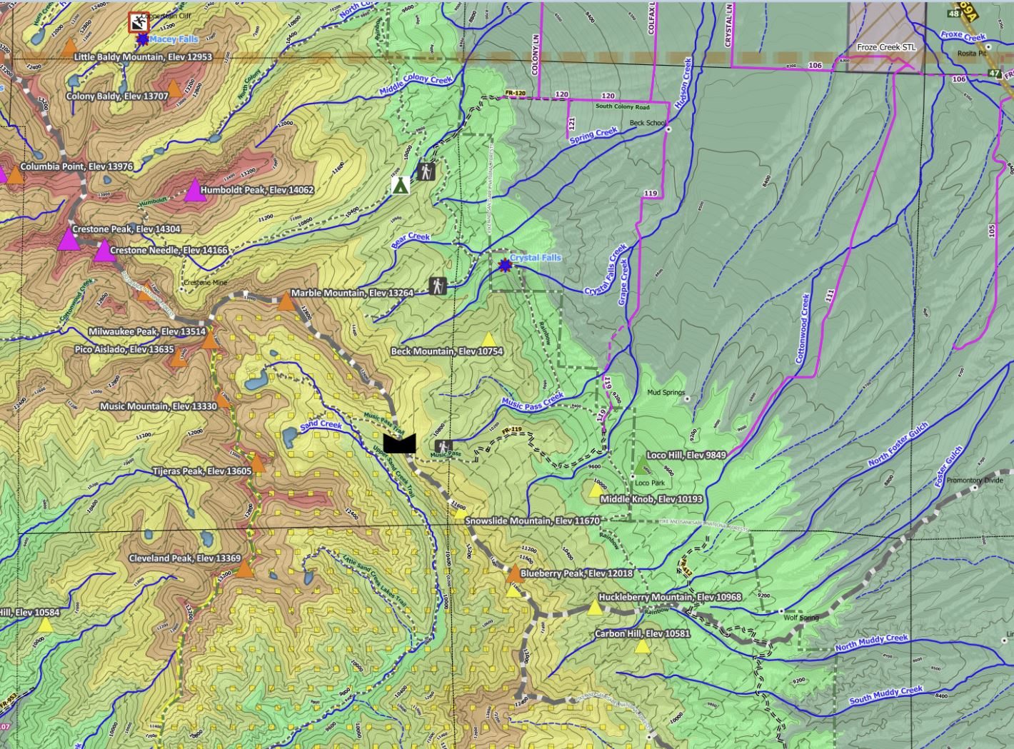
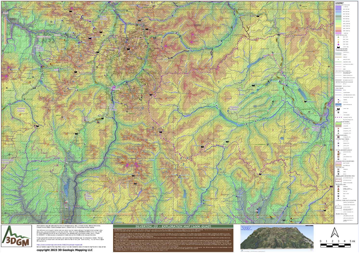
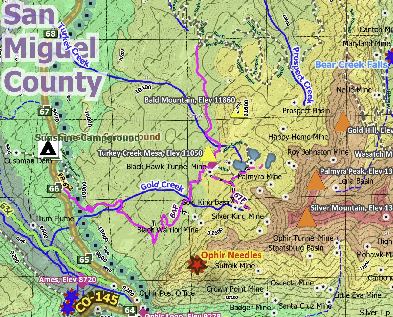
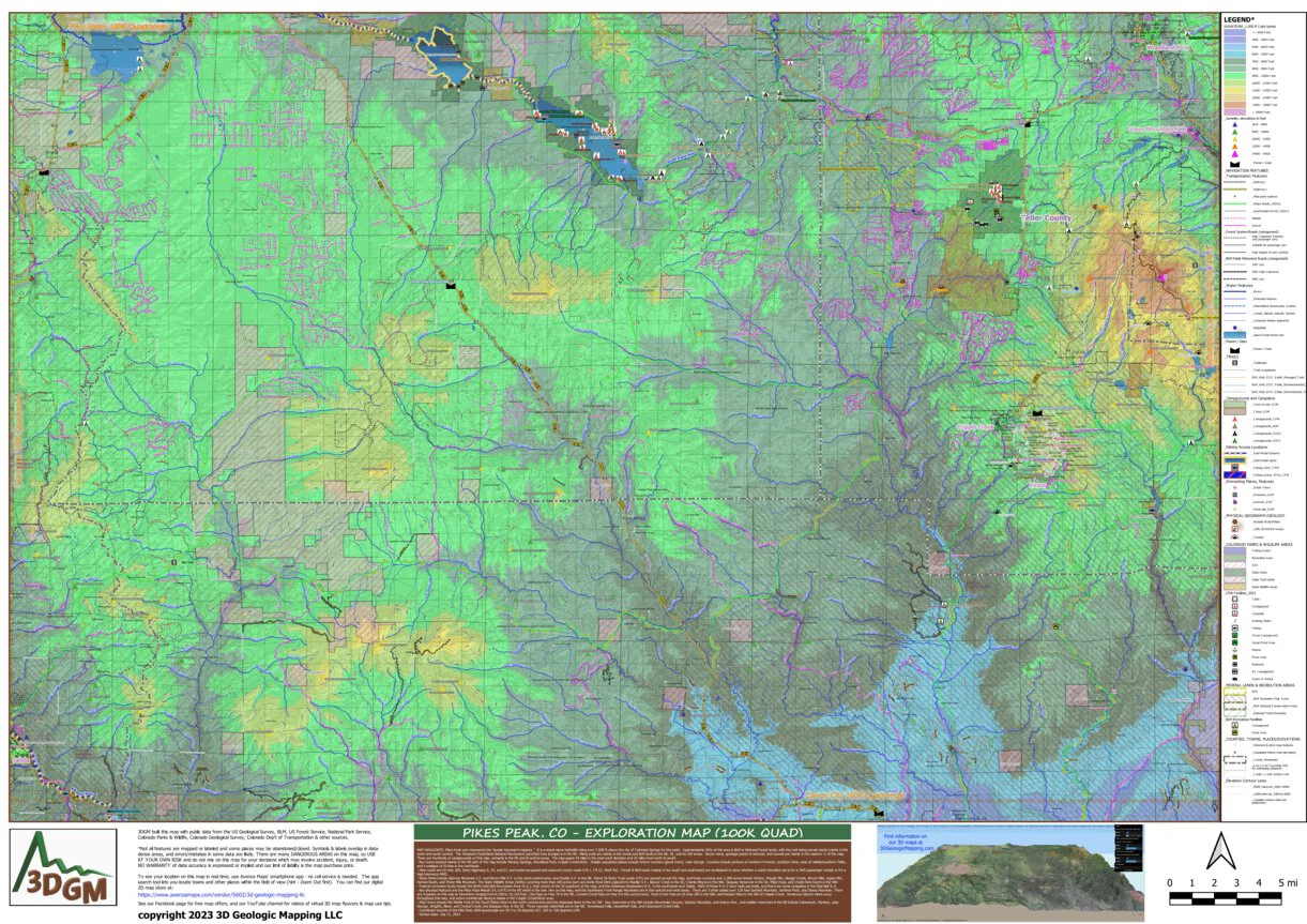
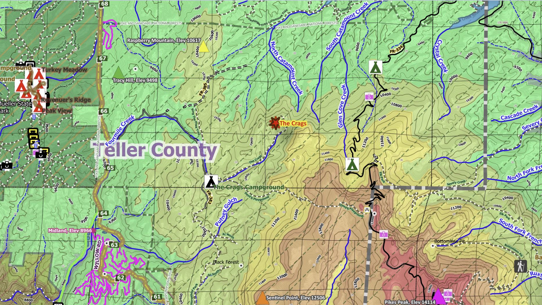
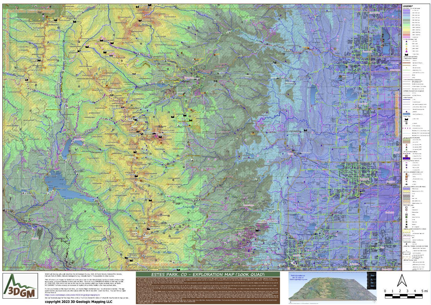
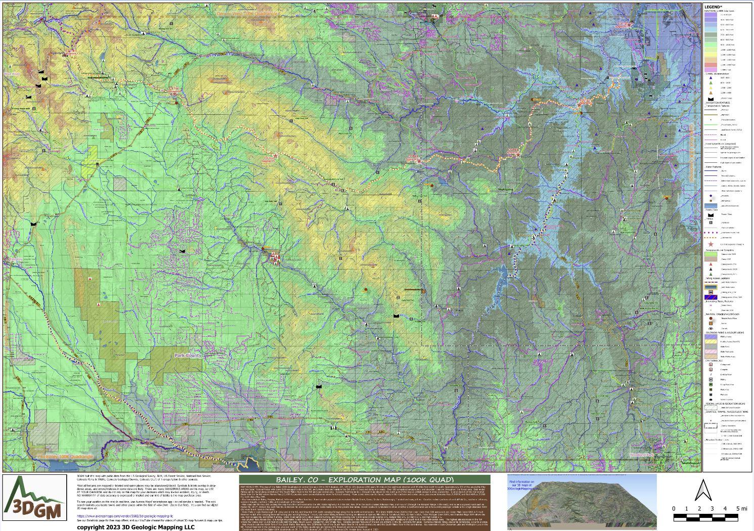
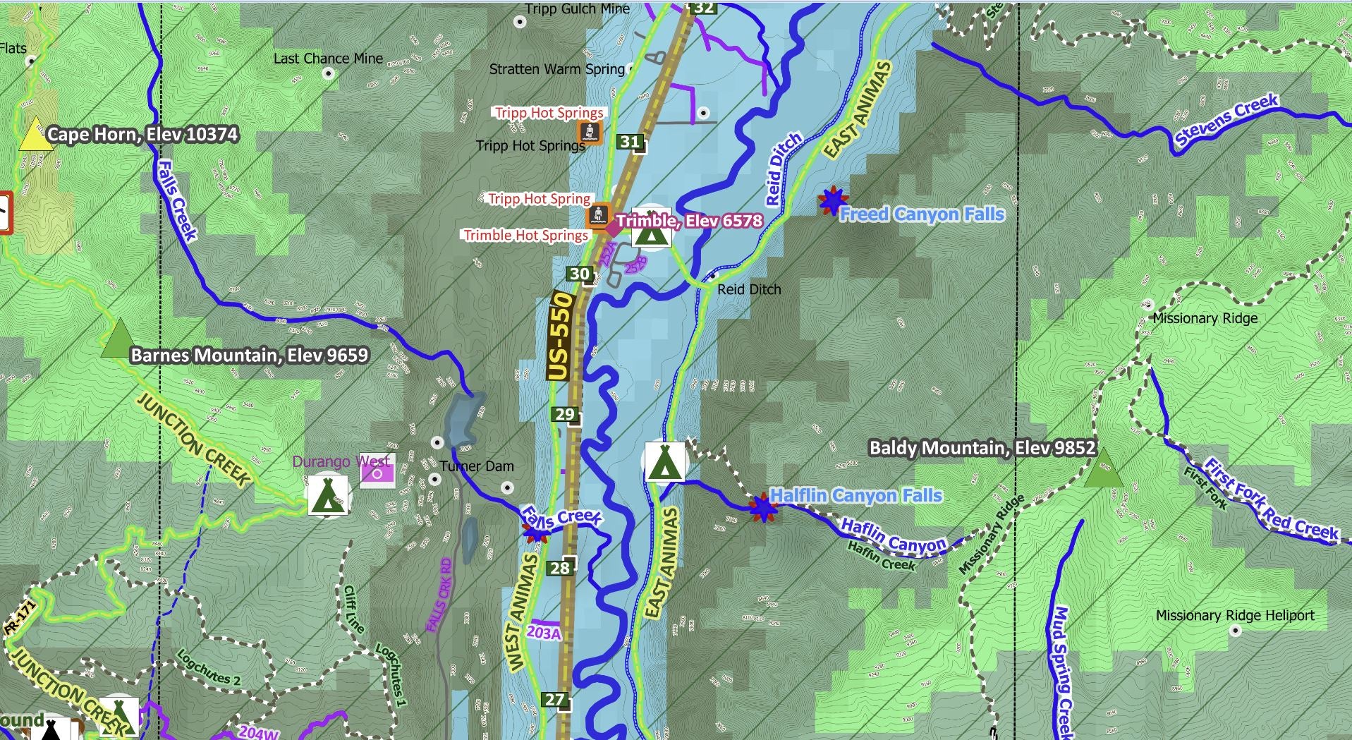
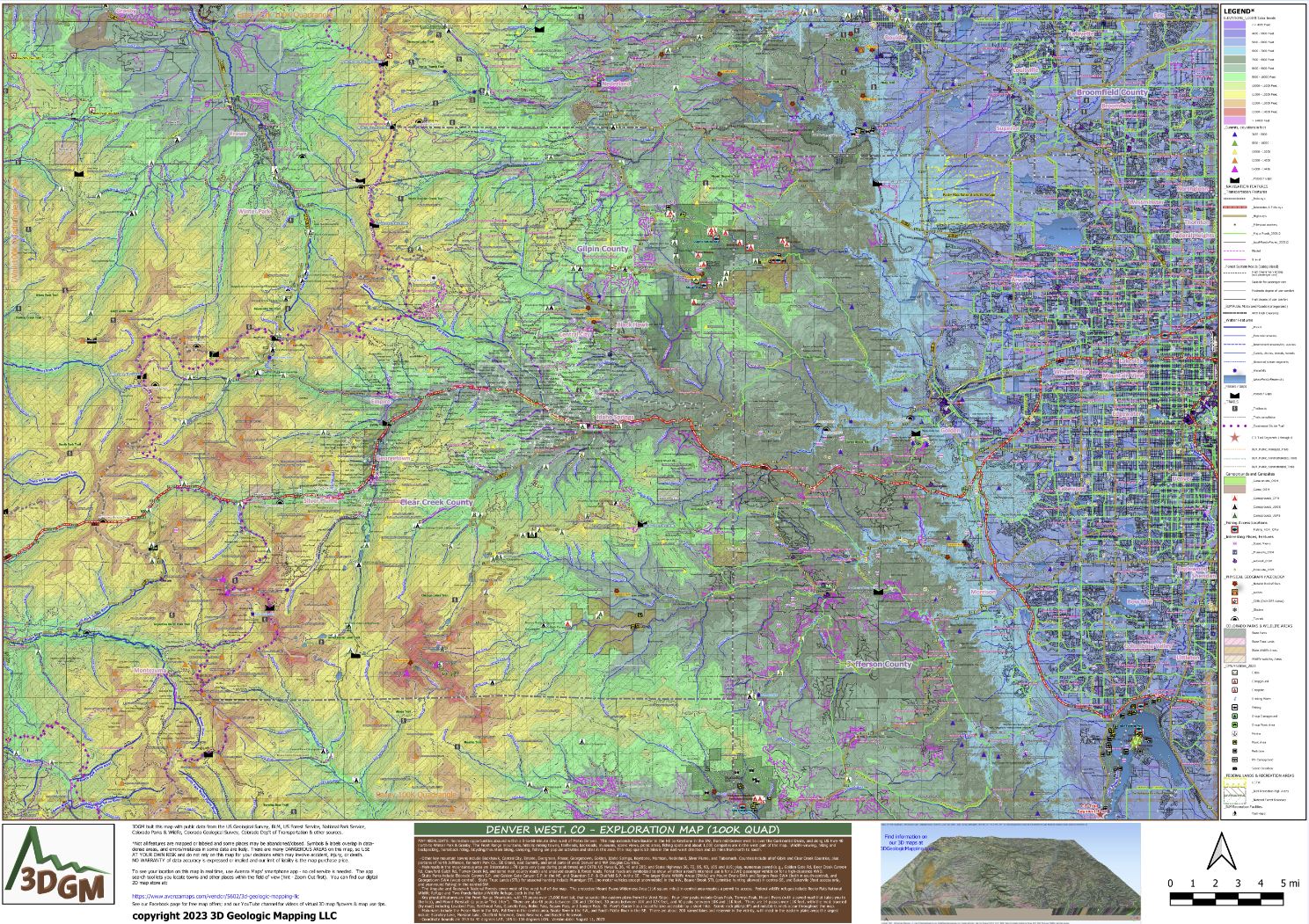
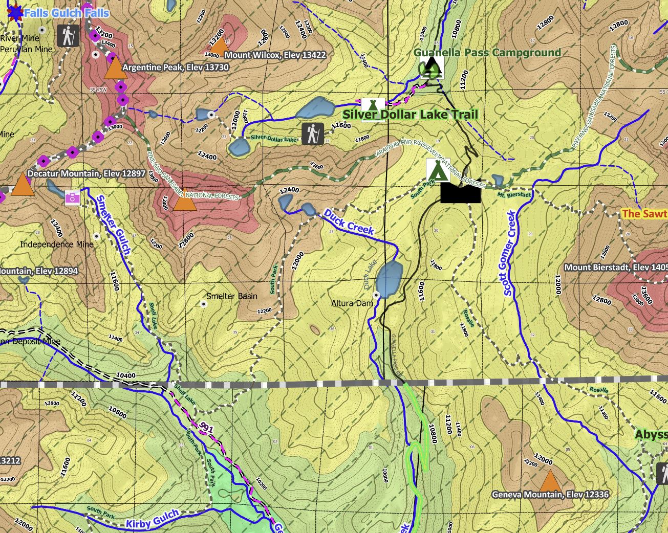
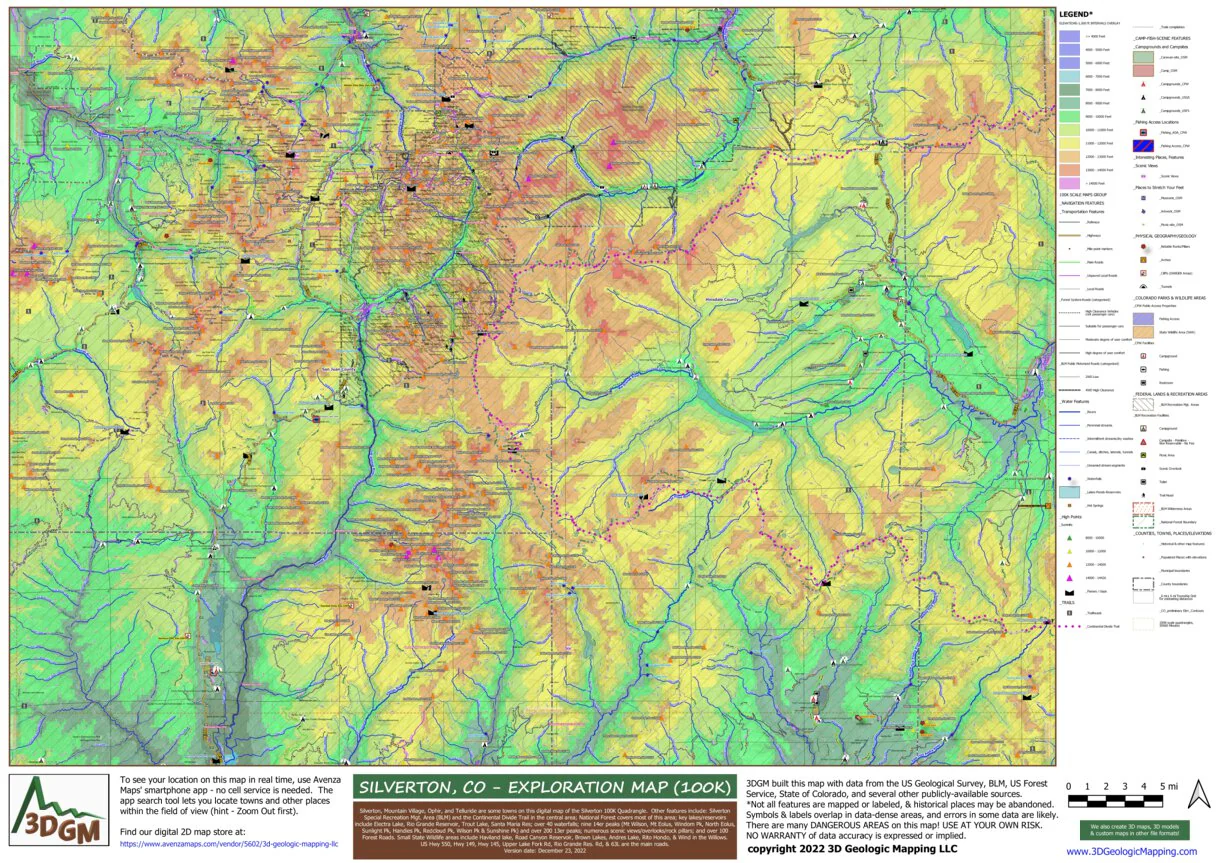
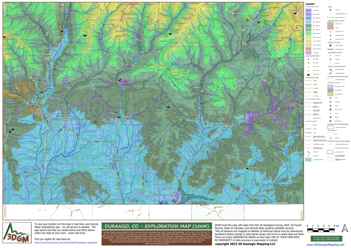
Beautiful Durango, Pagosa Springs, Bayfield, & Ignacio are some towns on this digital map of the Durango 100K Quadrangle. US Hwy 160, US Hwy 550, Hwy 171, Hwy 172, CR 500, & USFS Rd 631 are some of the main roads. Features include: Navajo State Park/Reservoir, Vallecito Res., Williams Crk Res, Forest & BLM boundaries, roads & trails; campsites/campgrounds, fishing areas, scenic views, other State lands, passes/gaps, numerous peaks above 10,000 & 12,000 feet, place names/elevation, rivers/lakes/streams, many waterfalls, numerous hot springs, color-coded elevation ranges, highway mile markers, main/secondary/local roads, a couple museums, geologic features (rock pillars, cliffs, & overlooks) & notable amenities on public lands (picnic areas, restrooms).
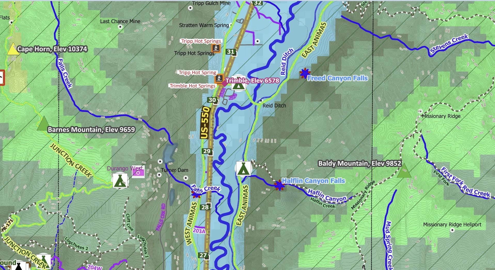
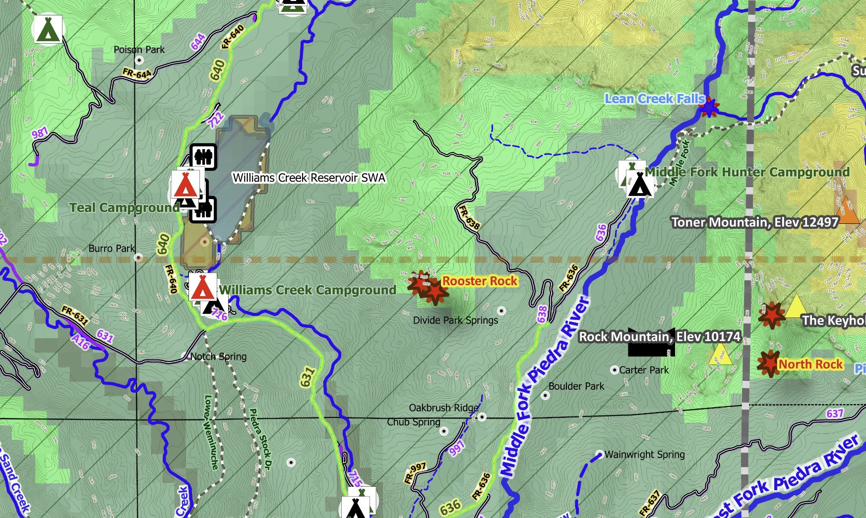
Zoom in close to see US Forest Service and BLM roads and trails, 24K-scale elevation contour lines, and numerous historic places. We built this map by compiling data from a half-dozen sources, and rendering it in a meaningful format, so you don't have to search for maps on 6 different websites. Plus, our product is portable! The Avenza Maps smartphone app lets you see your location as you move around in the map area, set a location pin to find your way back to your car or campsite, track your path in real-time, and more!
Product Information
Product Information
Shipping & Returns
Shipping & Returns
Durango, CO Exploration Map for Sightseeing
Durango, CO Exploration Map for Sightseeing
This is a one-time purchase. For buyers of this current map, a free updated version will soon be available! You can find new places to explore, be responsible, and stay safe when using this map.
Beautiful Durango, Pagosa Springs, Bayfield, & Ignacio are some towns on this digital map of the Durango 100K Quadrangle. US Hwy 160, US Hwy 550, Hwy 171, Hwy 172, CR 500, & USFS Rd 631 are some of the main roads. Features include: Navajo State Park/Reservoir, Vallecito Res., Williams Crk Res, Forest & BLM boundaries, roads & trails; campsites/campgrounds, fishing areas, scenic views, other State lands, passes/gaps, numerous peaks above 10,000 & 12,000 feet, place names/elevation, rivers/lakes/streams, many waterfalls, numerous hot springs, color-coded elevation ranges, highway mile markers, main/secondary/local roads, a couple museums, geologic features (rock pillars, cliffs, & overlooks) & notable amenities on public lands (picnic areas, restrooms).
Zoom in close to see US Forest Service and BLM roads and trails, 24K-scale elevation contour lines, and numerous historic places. We built this map by compiling data from a half-dozen sources, and rendering it in a meaningful format, so you don't have to search for maps on 6 different websites. Plus, our product is portable! The Avenza Maps smartphone app lets you see your location as you move around in the map area, set a location pin to find your way back to your car or campsite, track your path in real-time, and more!
$4.99
Durango, CO Exploration Map for Sightseeing—
$4.99
Product Information
Product Information
Shipping & Returns
Shipping & Returns
Description
This is a one-time purchase. For buyers of this current map, a free updated version will soon be available! You can find new places to explore, be responsible, and stay safe when using this map.
Beautiful Durango, Pagosa Springs, Bayfield, & Ignacio are some towns on this digital map of the Durango 100K Quadrangle. US Hwy 160, US Hwy 550, Hwy 171, Hwy 172, CR 500, & USFS Rd 631 are some of the main roads. Features include: Navajo State Park/Reservoir, Vallecito Res., Williams Crk Res, Forest & BLM boundaries, roads & trails; campsites/campgrounds, fishing areas, scenic views, other State lands, passes/gaps, numerous peaks above 10,000 & 12,000 feet, place names/elevation, rivers/lakes/streams, many waterfalls, numerous hot springs, color-coded elevation ranges, highway mile markers, main/secondary/local roads, a couple museums, geologic features (rock pillars, cliffs, & overlooks) & notable amenities on public lands (picnic areas, restrooms).
Zoom in close to see US Forest Service and BLM roads and trails, 24K-scale elevation contour lines, and numerous historic places. We built this map by compiling data from a half-dozen sources, and rendering it in a meaningful format, so you don't have to search for maps on 6 different websites. Plus, our product is portable! The Avenza Maps smartphone app lets you see your location as you move around in the map area, set a location pin to find your way back to your car or campsite, track your path in real-time, and more!