🎉 Up to 70% Off Selected ItemsShop Sale
Leadville, CO Exploration Map for Sightseeing
This is a one-time purchase. For buyers of this current map, a free updated version will soon be available! You can find new places to explore, be responsible, and stay safe when using this map.
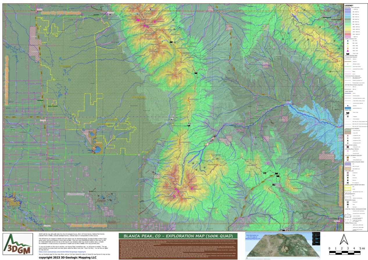
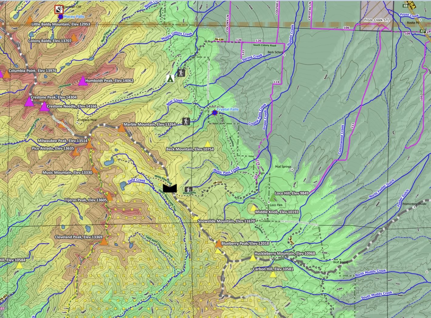
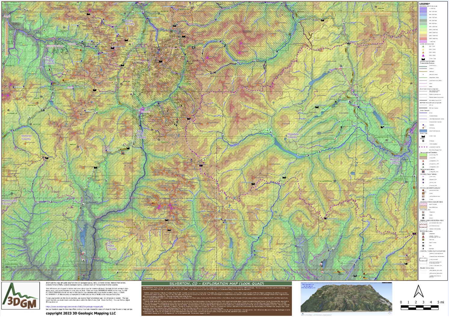
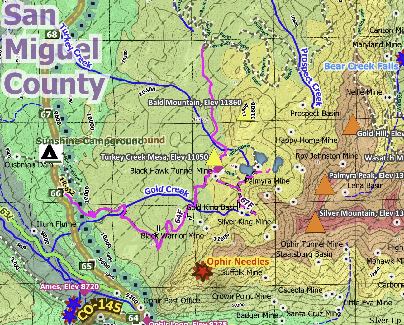
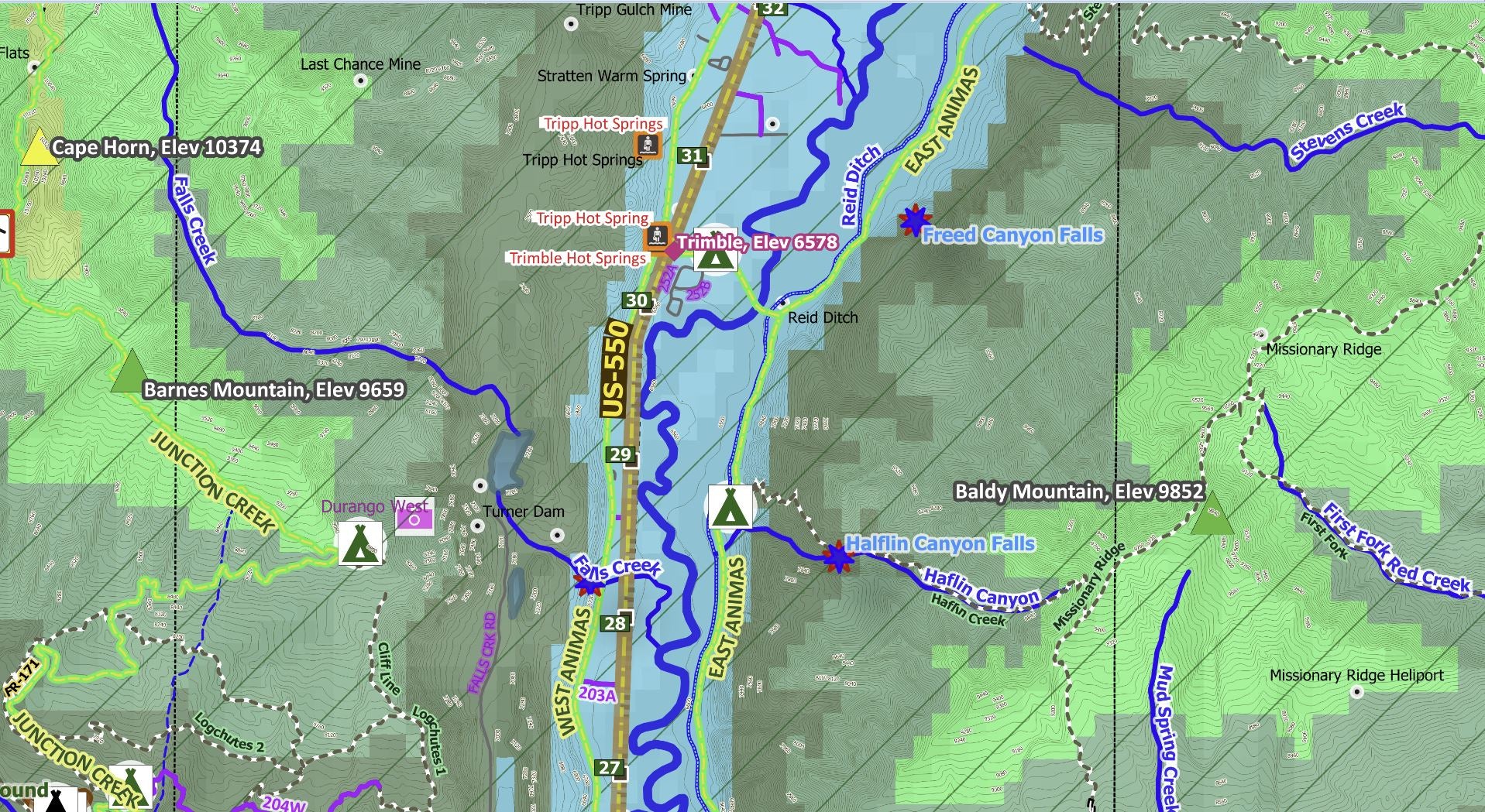
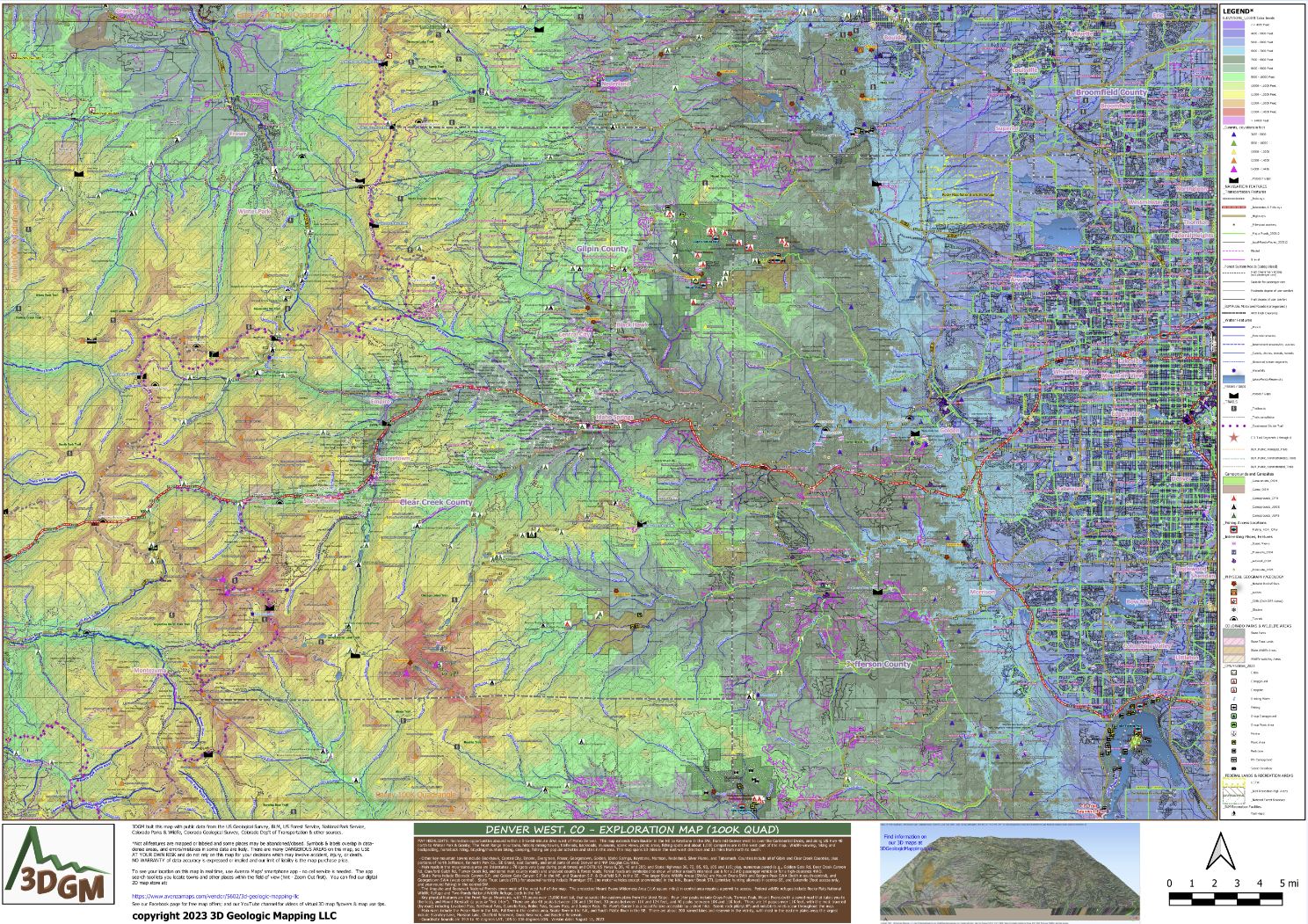
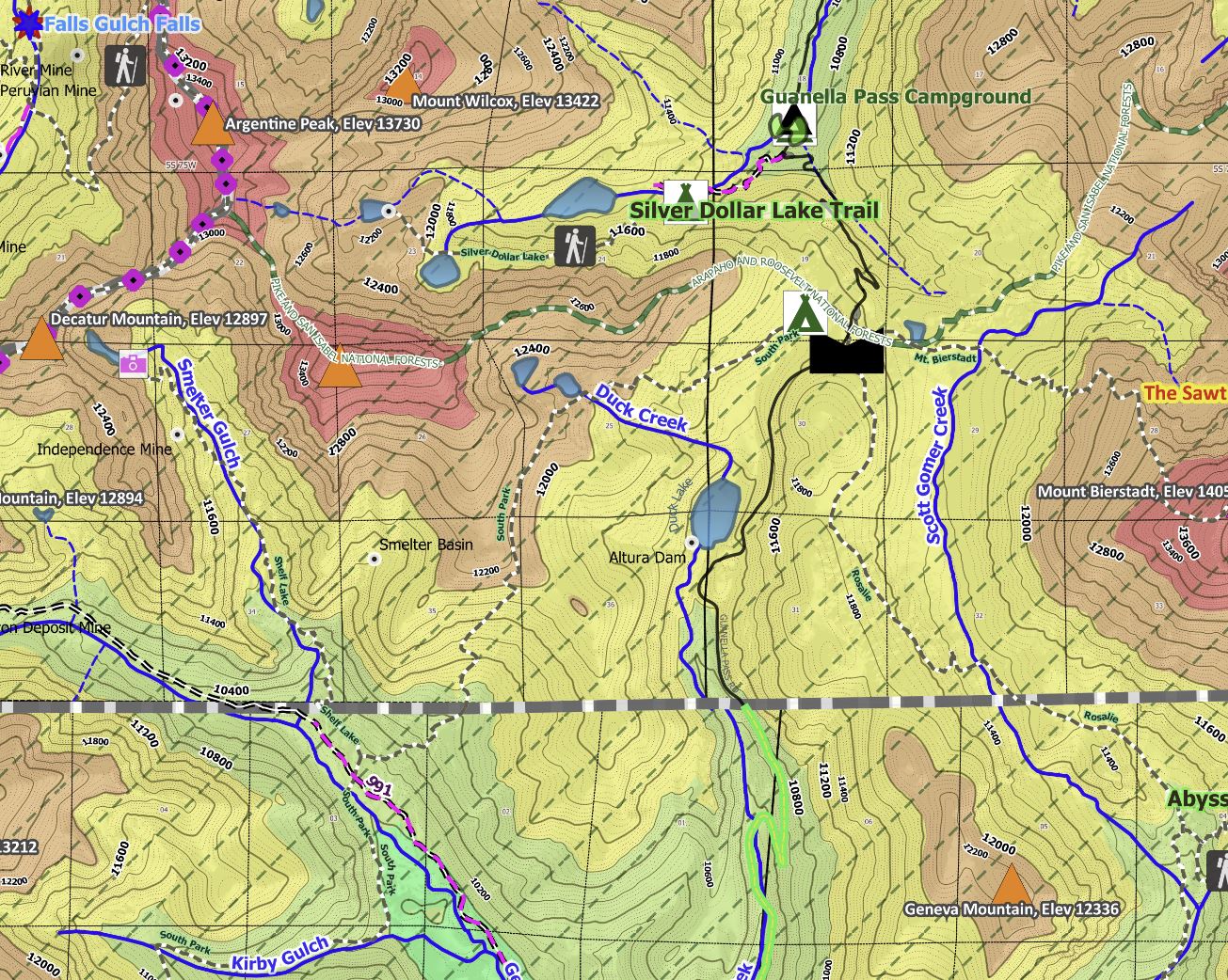
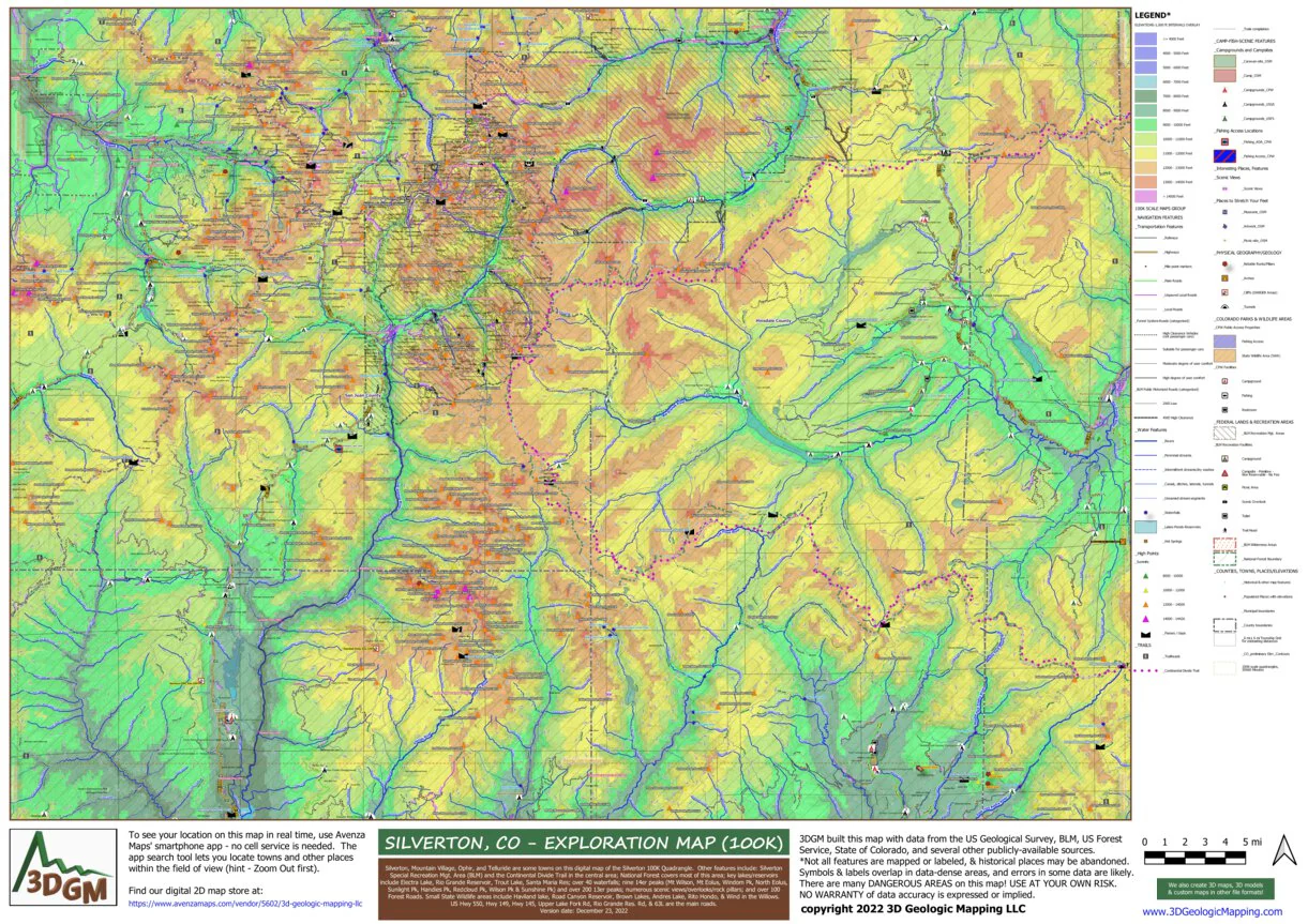
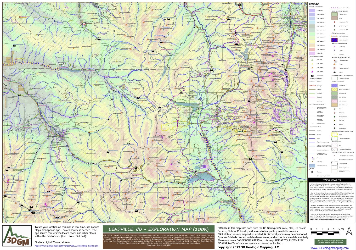
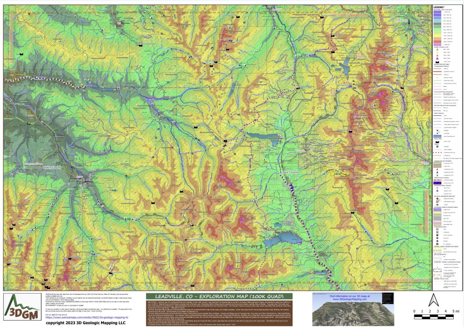
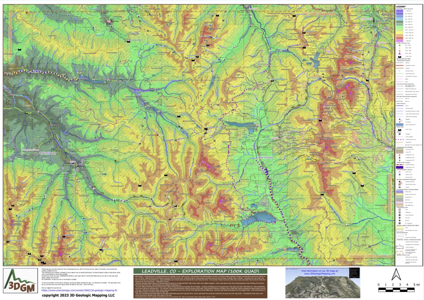
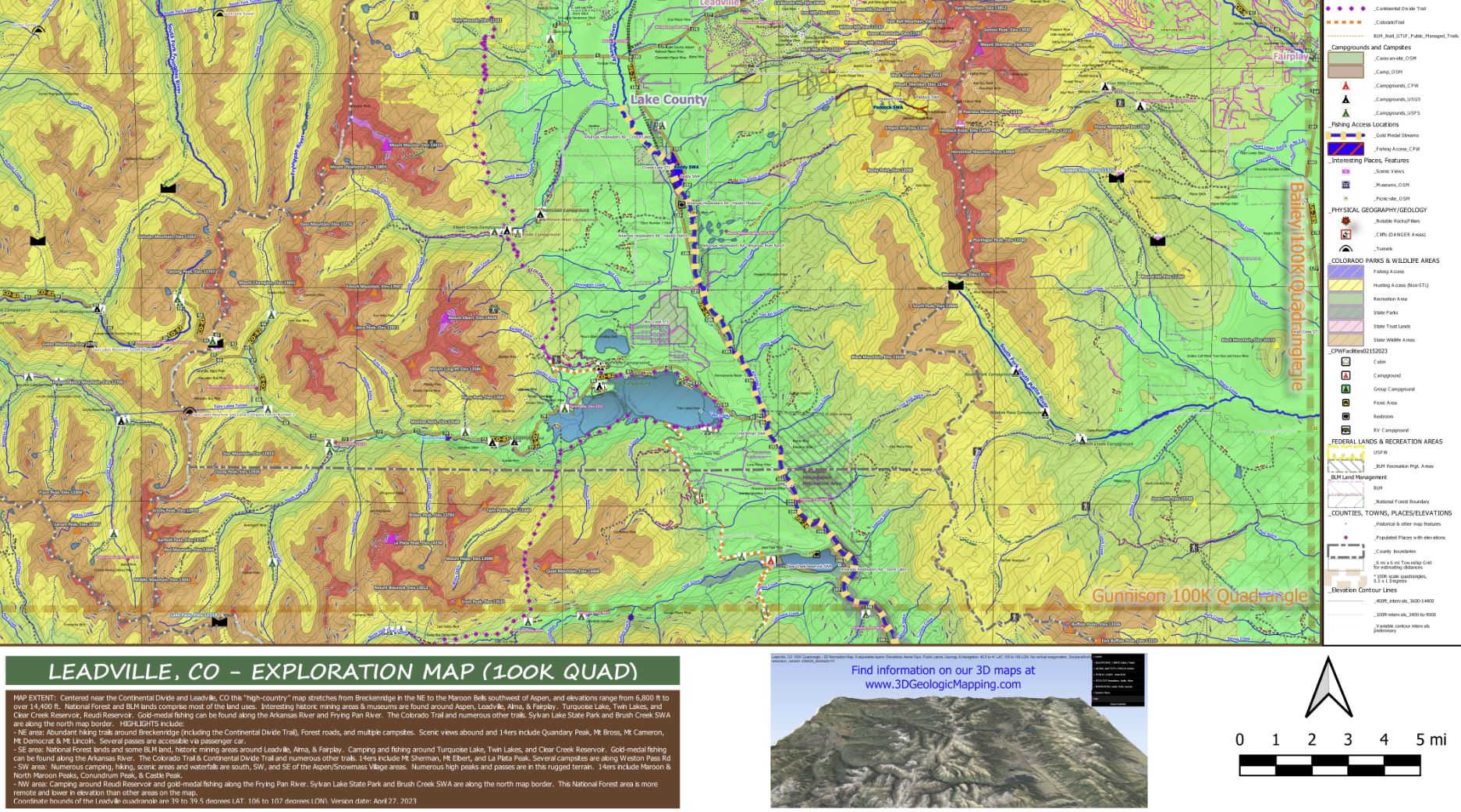
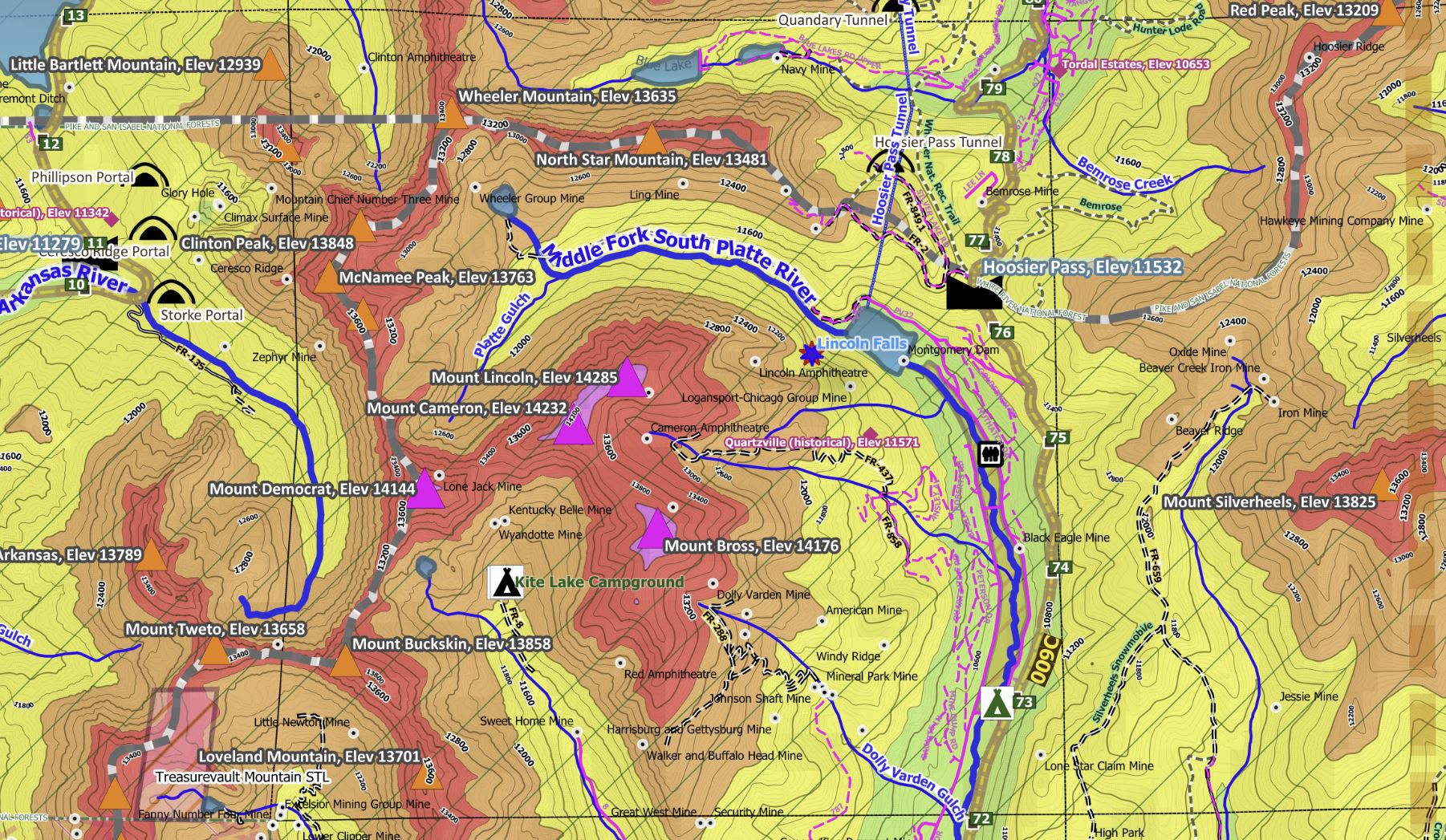
Centered near the Continental Divide and Leadville, CO this “high-country” map stretches from Breckenridge in the NE to the Maroon Bells southwest of Aspen, and elevations range from 6,800 ft to over 14,400 ft. Our color-coded 1000-ft elevation intervals and labeled contour lines make it very easy to find the peaks and valleys. National Forest and BLM lands comprise most of the land uses. Interesting historic mining areas & museums are found around Aspen, Leadville, Breckenridge, Alma, & Fairplay. Backcountry Forest and BLM roads are categorized for accessibility to show whether the road can be driven with a typical passenger car or if a high clearance 4WD vehicle should be used. Other map features include accessible State lands; names and elevations of peaks & places; lakes/streams, waterfalls, geologic features (notable rocks, cliffs, arches); mile-markers and township grids which make it easy to understand the terrain and distances; highways/main/secondary/local roads, & notable amenities on public lands (picnic areas, restrooms).
HIGHLIGHTS include:
- NE area: Abundant hiking trails around Breckenridge (including the Continental Divide Trail), Forest roads, and multiple campsites. Scenic views abound and 14ers include Quandary Peak, Mt Bross, Mt Cameron, Mt Democrat & Mt Lincoln. Several passes are accessible via passenger car.
- SE area: National Forest lands and some BLM land, historic mining areas around Leadville, Alma, & Fairplay. Camping and fishing around Turquoise Lake, Twin Lakes, and Clear Creek Reservoir. Gold-medal fishing can be found along the Arkansas River. The Colorado Trail & Continental Divide Trail and numerous other trails. 14ers include Mt Sherman, Mt Elbert, and La Plata Peak. Several campsites are along Weston Pass Rd
- SW area: Numerous camping, hiking, scenic areas and waterfalls are south, SW, and SE of the Aspen/Snowmass Village areas. Numerous high peaks and passes are in this rugged terrain. 14ers include Maroon & North Maroon Peaks, Conundrum Peak, & Castle Peak.
- NW area: Camping around Reudi Reservoir and gold-medal fishing along the Frying Pan River. Sylvan Lake State Park and Brush Creek SWA are along the north map border. This National Forest area is more remote and lower in elevation than other areas on the map.
Coordinate bounds of the Leadville 100K quadrangle are 39 to 39.5 degrees LAT, 106 to 107 degrees
The Avenza Maps smartphone app lets you see your location as you move around in the map area, set a location pin to find your way back to your car or campsite, track your path in real-time, and more!
Product Information
Product Information
Shipping & Returns
Shipping & Returns
Leadville, CO Exploration Map for Sightseeing
Leadville, CO Exploration Map for Sightseeing
This is a one-time purchase. For buyers of this current map, a free updated version will soon be available! You can find new places to explore, be responsible, and stay safe when using this map.
Centered near the Continental Divide and Leadville, CO this “high-country” map stretches from Breckenridge in the NE to the Maroon Bells southwest of Aspen, and elevations range from 6,800 ft to over 14,400 ft. Our color-coded 1000-ft elevation intervals and labeled contour lines make it very easy to find the peaks and valleys. National Forest and BLM lands comprise most of the land uses. Interesting historic mining areas & museums are found around Aspen, Leadville, Breckenridge, Alma, & Fairplay. Backcountry Forest and BLM roads are categorized for accessibility to show whether the road can be driven with a typical passenger car or if a high clearance 4WD vehicle should be used. Other map features include accessible State lands; names and elevations of peaks & places; lakes/streams, waterfalls, geologic features (notable rocks, cliffs, arches); mile-markers and township grids which make it easy to understand the terrain and distances; highways/main/secondary/local roads, & notable amenities on public lands (picnic areas, restrooms).
HIGHLIGHTS include:
- NE area: Abundant hiking trails around Breckenridge (including the Continental Divide Trail), Forest roads, and multiple campsites. Scenic views abound and 14ers include Quandary Peak, Mt Bross, Mt Cameron, Mt Democrat & Mt Lincoln. Several passes are accessible via passenger car.
- SE area: National Forest lands and some BLM land, historic mining areas around Leadville, Alma, & Fairplay. Camping and fishing around Turquoise Lake, Twin Lakes, and Clear Creek Reservoir. Gold-medal fishing can be found along the Arkansas River. The Colorado Trail & Continental Divide Trail and numerous other trails. 14ers include Mt Sherman, Mt Elbert, and La Plata Peak. Several campsites are along Weston Pass Rd
- SW area: Numerous camping, hiking, scenic areas and waterfalls are south, SW, and SE of the Aspen/Snowmass Village areas. Numerous high peaks and passes are in this rugged terrain. 14ers include Maroon & North Maroon Peaks, Conundrum Peak, & Castle Peak.
- NW area: Camping around Reudi Reservoir and gold-medal fishing along the Frying Pan River. Sylvan Lake State Park and Brush Creek SWA are along the north map border. This National Forest area is more remote and lower in elevation than other areas on the map.
Coordinate bounds of the Leadville 100K quadrangle are 39 to 39.5 degrees LAT, 106 to 107 degrees
The Avenza Maps smartphone app lets you see your location as you move around in the map area, set a location pin to find your way back to your car or campsite, track your path in real-time, and more!
$4.99
Leadville, CO Exploration Map for Sightseeing—
$4.99
Product Information
Product Information
Shipping & Returns
Shipping & Returns
Description
This is a one-time purchase. For buyers of this current map, a free updated version will soon be available! You can find new places to explore, be responsible, and stay safe when using this map.
Centered near the Continental Divide and Leadville, CO this “high-country” map stretches from Breckenridge in the NE to the Maroon Bells southwest of Aspen, and elevations range from 6,800 ft to over 14,400 ft. Our color-coded 1000-ft elevation intervals and labeled contour lines make it very easy to find the peaks and valleys. National Forest and BLM lands comprise most of the land uses. Interesting historic mining areas & museums are found around Aspen, Leadville, Breckenridge, Alma, & Fairplay. Backcountry Forest and BLM roads are categorized for accessibility to show whether the road can be driven with a typical passenger car or if a high clearance 4WD vehicle should be used. Other map features include accessible State lands; names and elevations of peaks & places; lakes/streams, waterfalls, geologic features (notable rocks, cliffs, arches); mile-markers and township grids which make it easy to understand the terrain and distances; highways/main/secondary/local roads, & notable amenities on public lands (picnic areas, restrooms).
HIGHLIGHTS include:
- NE area: Abundant hiking trails around Breckenridge (including the Continental Divide Trail), Forest roads, and multiple campsites. Scenic views abound and 14ers include Quandary Peak, Mt Bross, Mt Cameron, Mt Democrat & Mt Lincoln. Several passes are accessible via passenger car.
- SE area: National Forest lands and some BLM land, historic mining areas around Leadville, Alma, & Fairplay. Camping and fishing around Turquoise Lake, Twin Lakes, and Clear Creek Reservoir. Gold-medal fishing can be found along the Arkansas River. The Colorado Trail & Continental Divide Trail and numerous other trails. 14ers include Mt Sherman, Mt Elbert, and La Plata Peak. Several campsites are along Weston Pass Rd
- SW area: Numerous camping, hiking, scenic areas and waterfalls are south, SW, and SE of the Aspen/Snowmass Village areas. Numerous high peaks and passes are in this rugged terrain. 14ers include Maroon & North Maroon Peaks, Conundrum Peak, & Castle Peak.
- NW area: Camping around Reudi Reservoir and gold-medal fishing along the Frying Pan River. Sylvan Lake State Park and Brush Creek SWA are along the north map border. This National Forest area is more remote and lower in elevation than other areas on the map.
Coordinate bounds of the Leadville 100K quadrangle are 39 to 39.5 degrees LAT, 106 to 107 degrees
The Avenza Maps smartphone app lets you see your location as you move around in the map area, set a location pin to find your way back to your car or campsite, track your path in real-time, and more!