🎉 Up to 70% Off Selected ItemsShop Sale
Gunnison, CO Exploration Map for Sightseeing
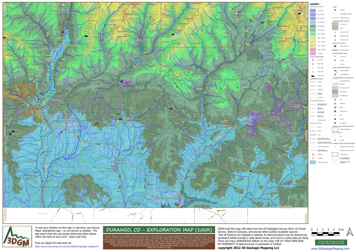
The Towns of Gunnison, Salida, Buena Vista, & Crested Butte on this map. The Continental Divide, Sawatch Mtn Range & over a dozen 14'ers, plus over 50 13'ers, cross the east-central and NW map areas. The Collegiate Peaks, Mt Antero, Mt Shavano, are a few of our favorites. National Forests, BLM lands, and State public lands make up the vast majority of this area smack dab in the Colorado Mineral Belt, so the rockhounds will love to explore. From Salida, the Arkansas River Valley (with gold medal fishing!) stretches about 60 miles to the NNW along Hwy 24/Hwy 285, and US Hwy 50 stretches west over scenic Monarch Pass & down into the beautiful Gunnison River Valley. The historic Crested Butte skiing/mountain biking town is 27 miles north of Gunnison along Hwy 135. From Buena Vista, CR 306 goes west over scenic Cottonwood Pass & down into Taylor Park where CR 742 follows the Taylor River to the Gunnison River.
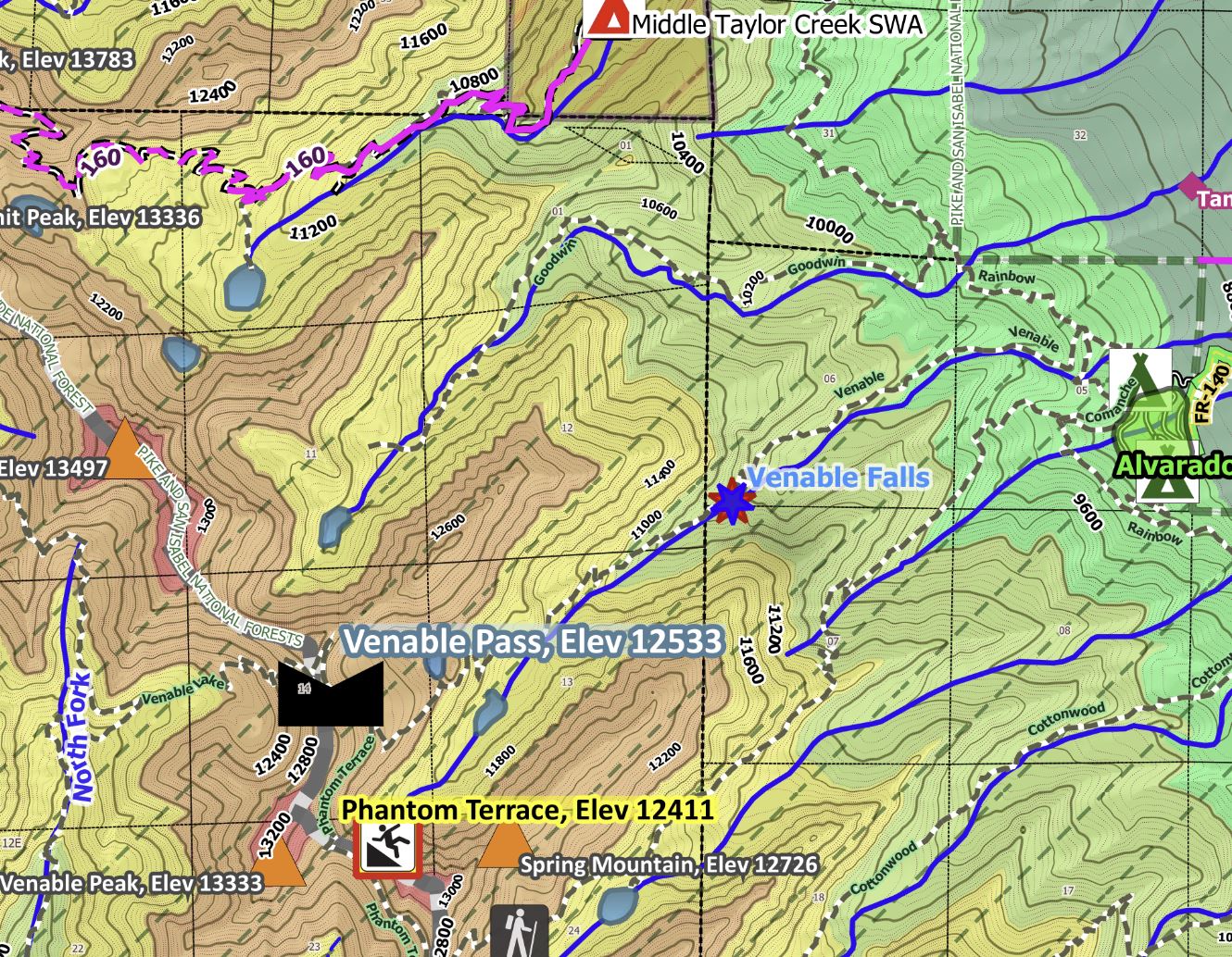
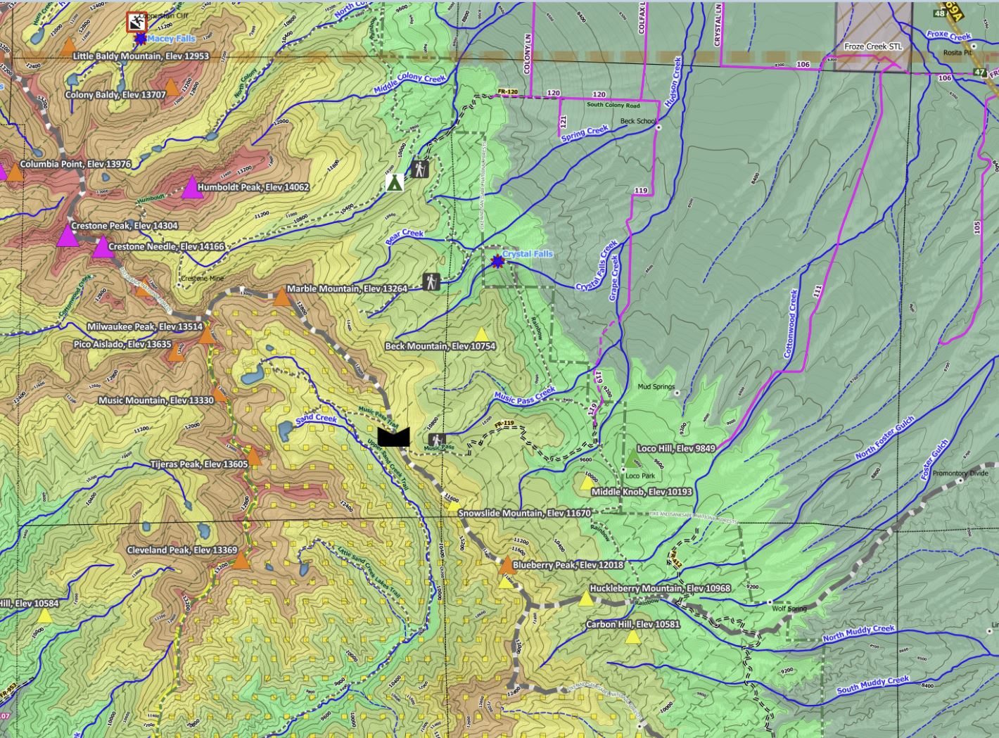
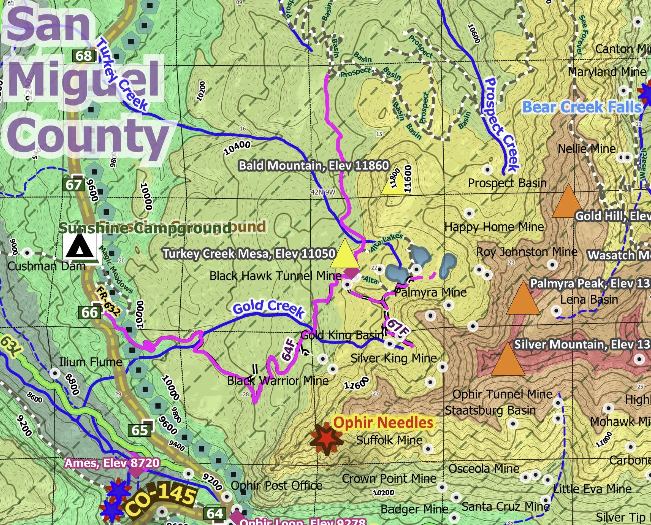
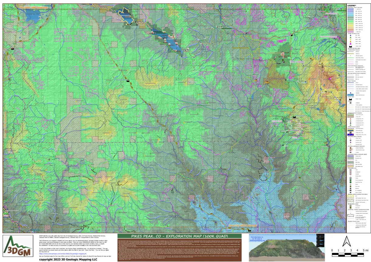
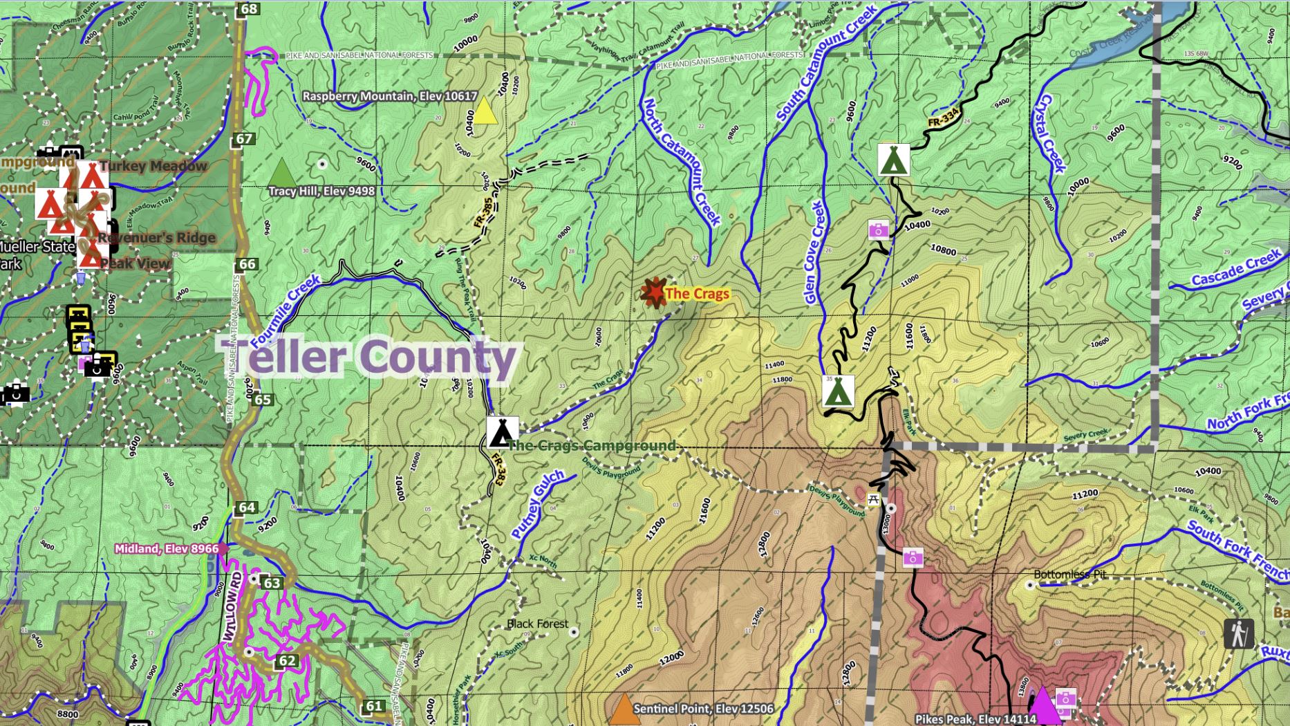
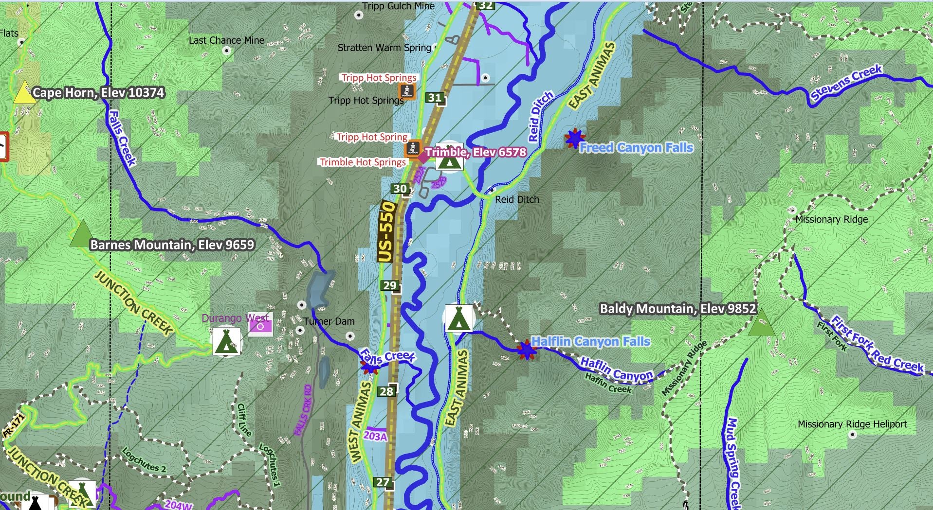
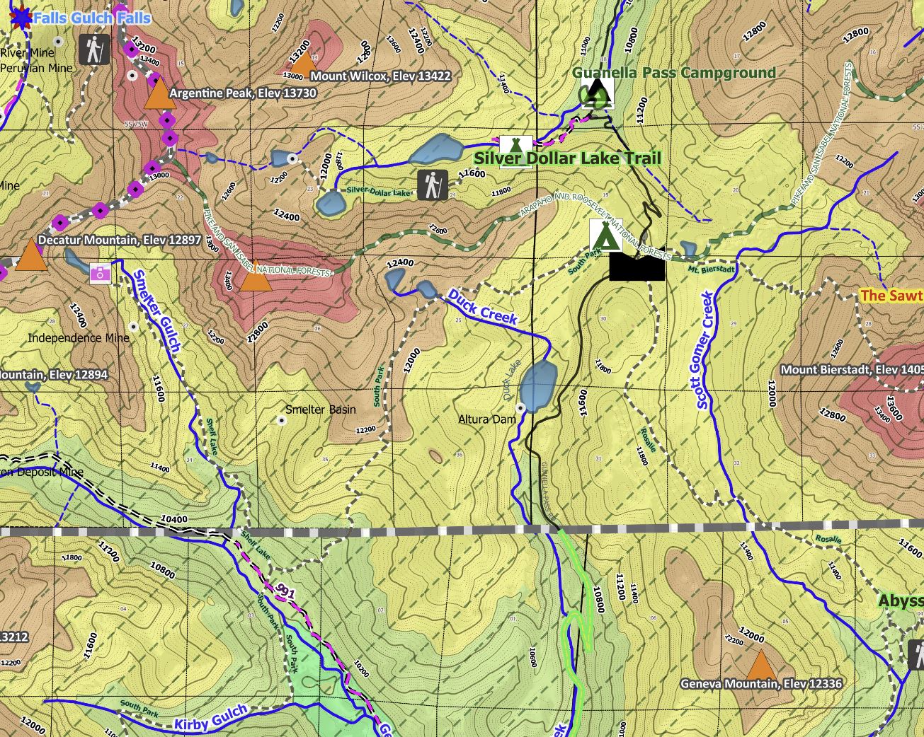
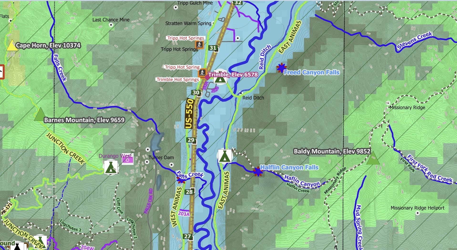
We think you'll be amazed when you zoom in close to see US Forest Service and BLM roads and trails and 24K-scale elevation contour lines and numerous historic places. Over 20 mountain passes, several hot springs, waterfalls, rock pillars, cliffs, and other photo opportunities areas some of the natural wonders that God made for us in this area! Road symbols indicate whether your passenger car will make it and also where you best have a high-clearance 4WD vehicle.
The Avenza Maps smartphone app lets you see your location as you move around in the map area, set a location pin to find your way back to your car or campsite, track your path in real-time, and more!
Product Information
Product Information
Shipping & Returns
Shipping & Returns


Gunnison, CO Exploration Map for Sightseeing
Gunnison, CO Exploration Map for Sightseeing
The Towns of Gunnison, Salida, Buena Vista, & Crested Butte on this map. The Continental Divide, Sawatch Mtn Range & over a dozen 14'ers, plus over 50 13'ers, cross the east-central and NW map areas. The Collegiate Peaks, Mt Antero, Mt Shavano, are a few of our favorites. National Forests, BLM lands, and State public lands make up the vast majority of this area smack dab in the Colorado Mineral Belt, so the rockhounds will love to explore. From Salida, the Arkansas River Valley (with gold medal fishing!) stretches about 60 miles to the NNW along Hwy 24/Hwy 285, and US Hwy 50 stretches west over scenic Monarch Pass & down into the beautiful Gunnison River Valley. The historic Crested Butte skiing/mountain biking town is 27 miles north of Gunnison along Hwy 135. From Buena Vista, CR 306 goes west over scenic Cottonwood Pass & down into Taylor Park where CR 742 follows the Taylor River to the Gunnison River.
We think you'll be amazed when you zoom in close to see US Forest Service and BLM roads and trails and 24K-scale elevation contour lines and numerous historic places. Over 20 mountain passes, several hot springs, waterfalls, rock pillars, cliffs, and other photo opportunities areas some of the natural wonders that God made for us in this area! Road symbols indicate whether your passenger car will make it and also where you best have a high-clearance 4WD vehicle.
The Avenza Maps smartphone app lets you see your location as you move around in the map area, set a location pin to find your way back to your car or campsite, track your path in real-time, and more!
$4.99
Gunnison, CO Exploration Map for Sightseeing—
$4.99
Product Information
Product Information
Shipping & Returns
Shipping & Returns
Description
The Towns of Gunnison, Salida, Buena Vista, & Crested Butte on this map. The Continental Divide, Sawatch Mtn Range & over a dozen 14'ers, plus over 50 13'ers, cross the east-central and NW map areas. The Collegiate Peaks, Mt Antero, Mt Shavano, are a few of our favorites. National Forests, BLM lands, and State public lands make up the vast majority of this area smack dab in the Colorado Mineral Belt, so the rockhounds will love to explore. From Salida, the Arkansas River Valley (with gold medal fishing!) stretches about 60 miles to the NNW along Hwy 24/Hwy 285, and US Hwy 50 stretches west over scenic Monarch Pass & down into the beautiful Gunnison River Valley. The historic Crested Butte skiing/mountain biking town is 27 miles north of Gunnison along Hwy 135. From Buena Vista, CR 306 goes west over scenic Cottonwood Pass & down into Taylor Park where CR 742 follows the Taylor River to the Gunnison River.
We think you'll be amazed when you zoom in close to see US Forest Service and BLM roads and trails and 24K-scale elevation contour lines and numerous historic places. Over 20 mountain passes, several hot springs, waterfalls, rock pillars, cliffs, and other photo opportunities areas some of the natural wonders that God made for us in this area! Road symbols indicate whether your passenger car will make it and also where you best have a high-clearance 4WD vehicle.
The Avenza Maps smartphone app lets you see your location as you move around in the map area, set a location pin to find your way back to your car or campsite, track your path in real-time, and more!