🎉 Up to 70% Off Selected ItemsShop Sale
Steamboat Springs, CO Exploration Map for Sightseeing
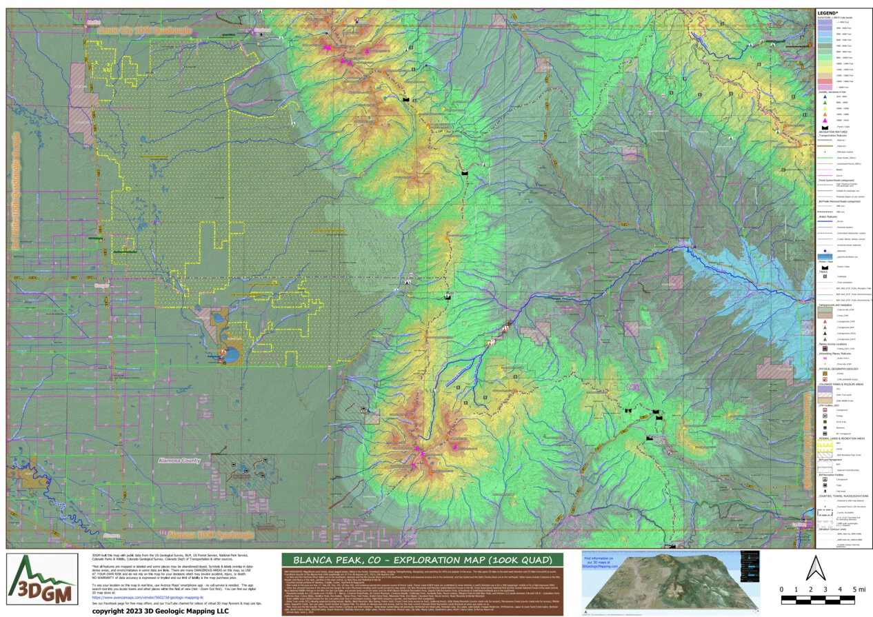
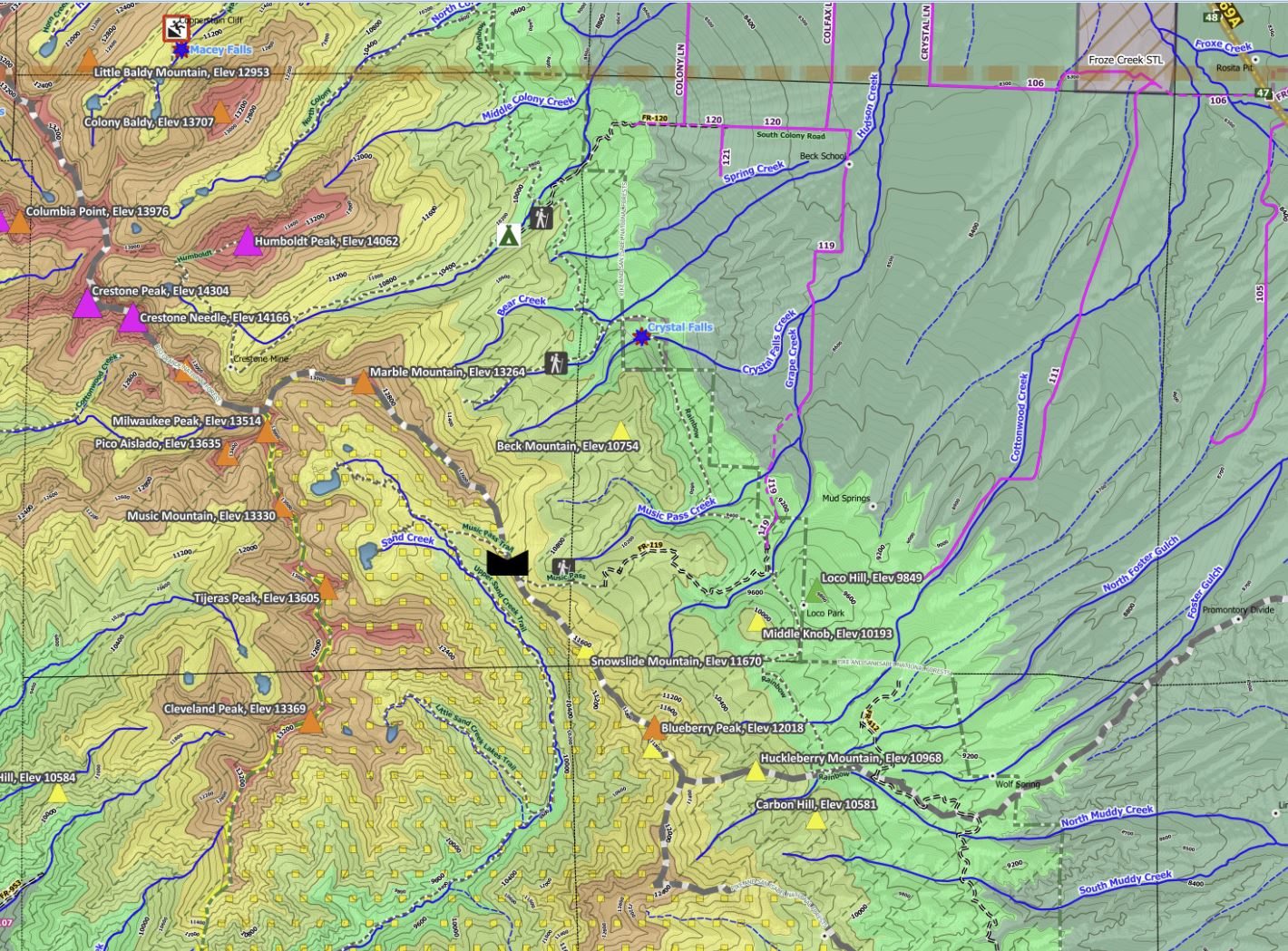
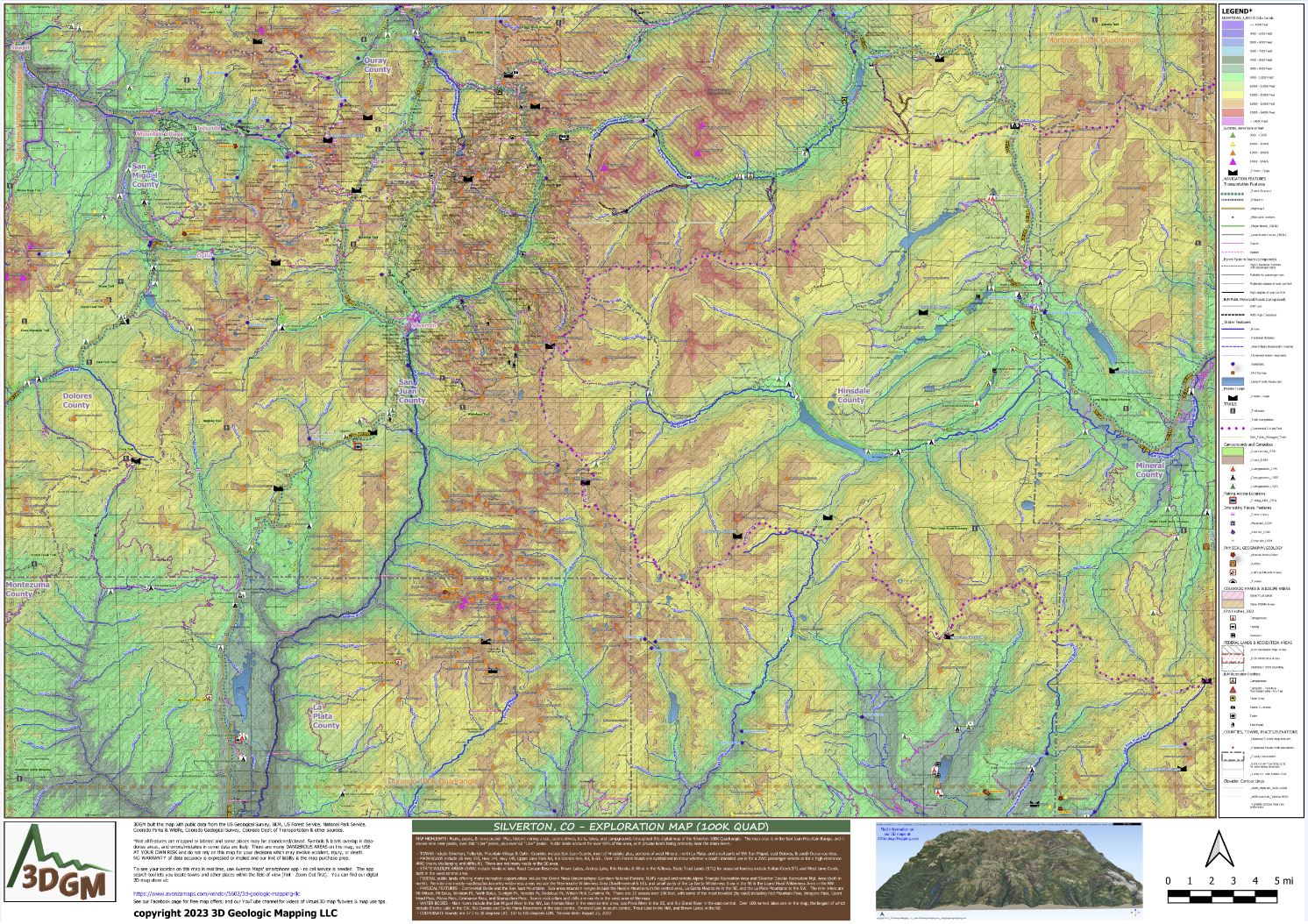
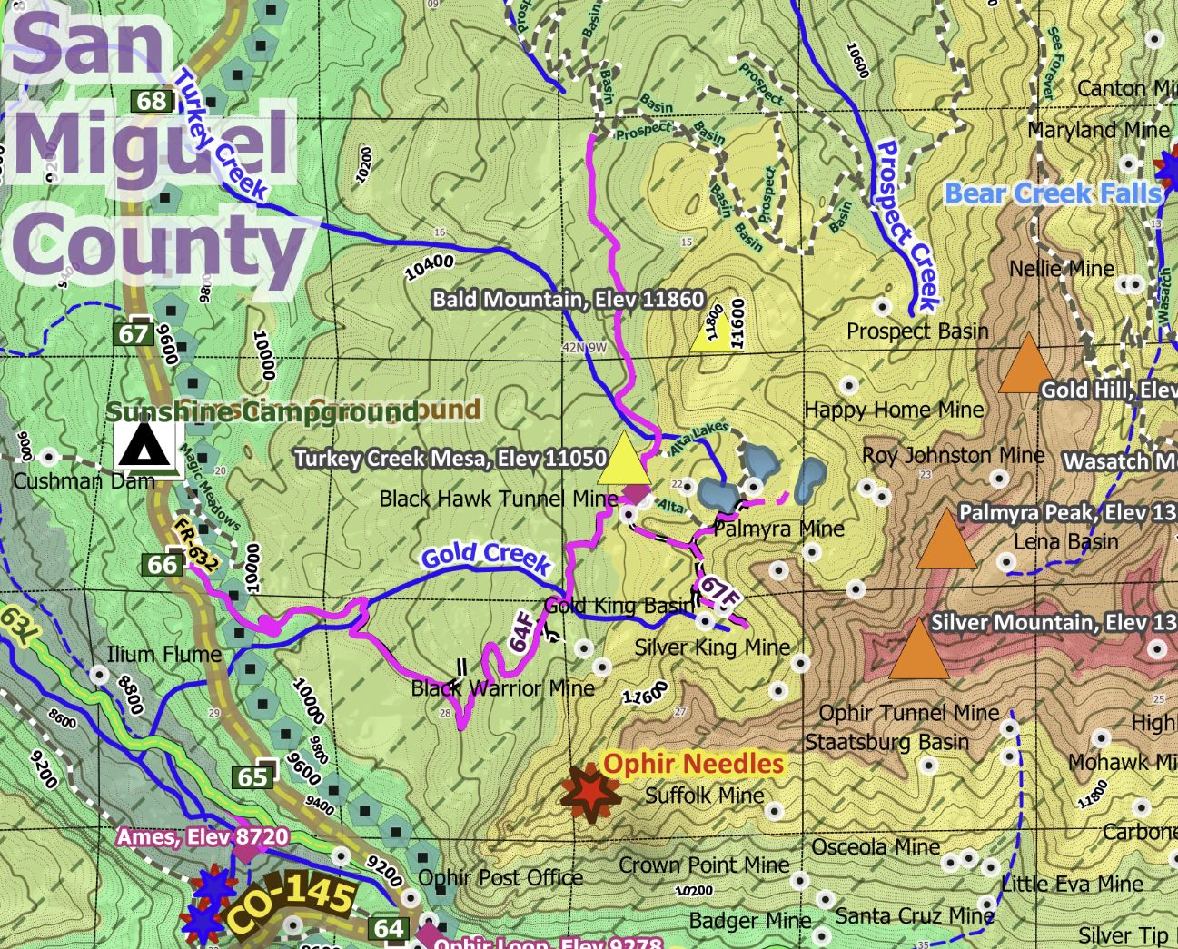
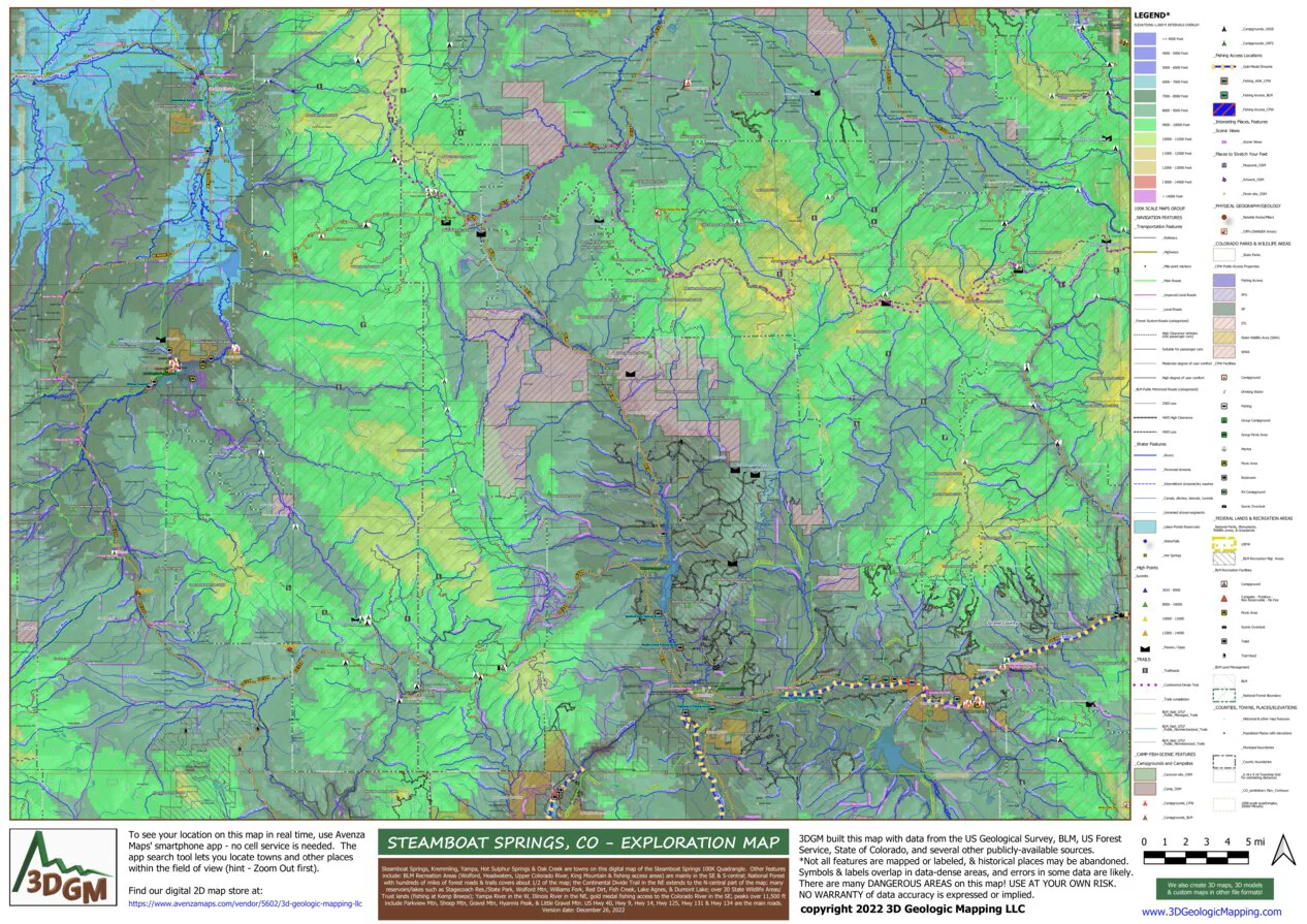
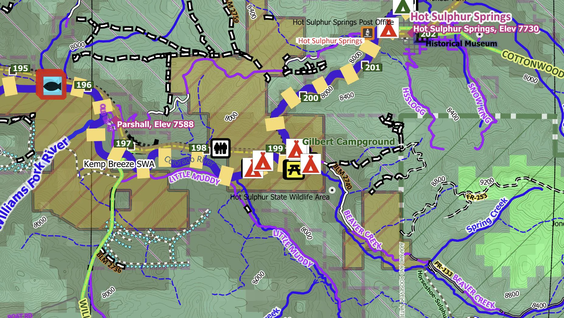
Steamboat Springs, Kremmling, Yampa, Hot Sulphur Springs & Oak Creek are towns on this digital map of the Steamboat Springs 100K Quadrangle. Other features include: BLM Recreation Areas (Wolford, Headwaters, Upper Colorado River, King Mountain & fishing access areas) are mainly in the SE & S-central; National Forest with hundreds of miles of forest roads & trails covers about 1/2 of the map; the Continental Divide Trail in the NE extends to the N-central part of the map; many reservoirs/lakes such as Stagecoach Res./State Park, Wolford Mtn, Williams Fork, Red Dirt, Fish Creek, Lake Agnes, & Dumont Lake; over 30 State Wildlife Areas/Trust lands (fishing at Kemp Breeze); Yampa River in the W, Illinois River in the NE, gold medal fishing access to the Colorado River in the SE; peaks over 11,500 ft include Parkview Mtn, Sheep Mtn, Gravel Mtn, Hyannis Peak, & Little Gravel Mtn. US Hwy 40, Hwy 9, Hwy 14, Hwy 125, Hwy 131 & Hwy 134 are the main roads.
This extensive map was compiled with data from several public sources and processed to display the map features with symbols and labels in an intelligible format explained by a thorough legend. For guidance on how to navigate and use our maps with the Avenza Maps app, check out this video https://youtu.be/K4i-hnD_eBI. Feel free to contact us with any questions at [email protected]
Product Information
Product Information
Shipping & Returns
Shipping & Returns
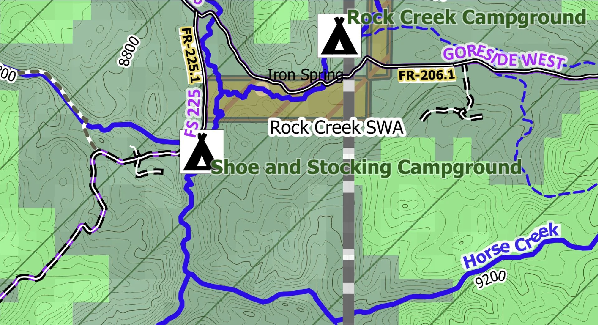
Steamboat Springs, CO Exploration Map for Sightseeing
Steamboat Springs, CO Exploration Map for Sightseeing
Steamboat Springs, Kremmling, Yampa, Hot Sulphur Springs & Oak Creek are towns on this digital map of the Steamboat Springs 100K Quadrangle. Other features include: BLM Recreation Areas (Wolford, Headwaters, Upper Colorado River, King Mountain & fishing access areas) are mainly in the SE & S-central; National Forest with hundreds of miles of forest roads & trails covers about 1/2 of the map; the Continental Divide Trail in the NE extends to the N-central part of the map; many reservoirs/lakes such as Stagecoach Res./State Park, Wolford Mtn, Williams Fork, Red Dirt, Fish Creek, Lake Agnes, & Dumont Lake; over 30 State Wildlife Areas/Trust lands (fishing at Kemp Breeze); Yampa River in the W, Illinois River in the NE, gold medal fishing access to the Colorado River in the SE; peaks over 11,500 ft include Parkview Mtn, Sheep Mtn, Gravel Mtn, Hyannis Peak, & Little Gravel Mtn. US Hwy 40, Hwy 9, Hwy 14, Hwy 125, Hwy 131 & Hwy 134 are the main roads.
This extensive map was compiled with data from several public sources and processed to display the map features with symbols and labels in an intelligible format explained by a thorough legend. For guidance on how to navigate and use our maps with the Avenza Maps app, check out this video https://youtu.be/K4i-hnD_eBI. Feel free to contact us with any questions at [email protected]
$4.99
Steamboat Springs, CO Exploration Map for Sightseeing—
$4.99
Product Information
Product Information
Shipping & Returns
Shipping & Returns
Description
Steamboat Springs, Kremmling, Yampa, Hot Sulphur Springs & Oak Creek are towns on this digital map of the Steamboat Springs 100K Quadrangle. Other features include: BLM Recreation Areas (Wolford, Headwaters, Upper Colorado River, King Mountain & fishing access areas) are mainly in the SE & S-central; National Forest with hundreds of miles of forest roads & trails covers about 1/2 of the map; the Continental Divide Trail in the NE extends to the N-central part of the map; many reservoirs/lakes such as Stagecoach Res./State Park, Wolford Mtn, Williams Fork, Red Dirt, Fish Creek, Lake Agnes, & Dumont Lake; over 30 State Wildlife Areas/Trust lands (fishing at Kemp Breeze); Yampa River in the W, Illinois River in the NE, gold medal fishing access to the Colorado River in the SE; peaks over 11,500 ft include Parkview Mtn, Sheep Mtn, Gravel Mtn, Hyannis Peak, & Little Gravel Mtn. US Hwy 40, Hwy 9, Hwy 14, Hwy 125, Hwy 131 & Hwy 134 are the main roads.
This extensive map was compiled with data from several public sources and processed to display the map features with symbols and labels in an intelligible format explained by a thorough legend. For guidance on how to navigate and use our maps with the Avenza Maps app, check out this video https://youtu.be/K4i-hnD_eBI. Feel free to contact us with any questions at [email protected]